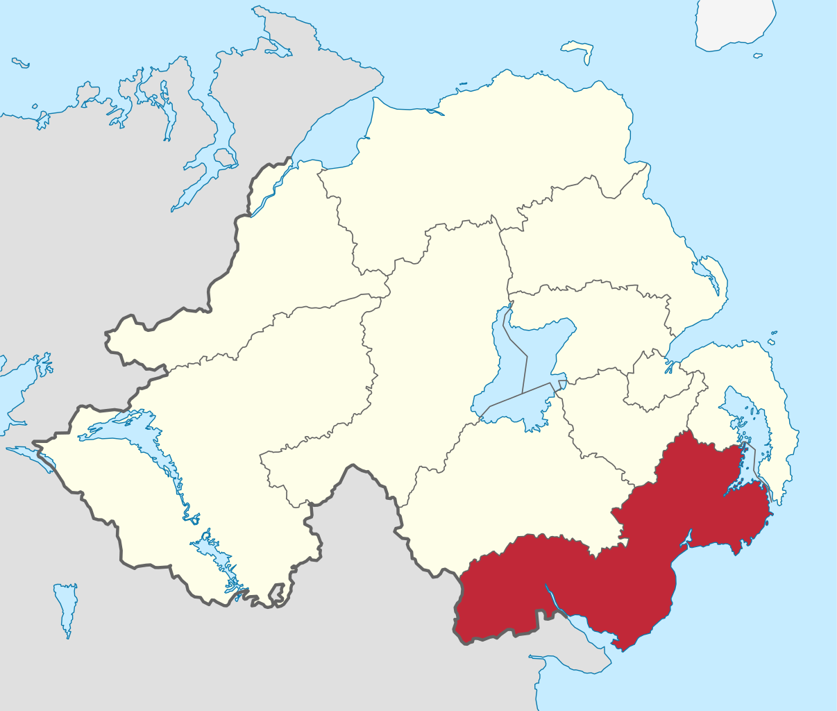
Newry, Mourne and Down is a local government district in Northern Ireland that was created on 1 April 2015 by merging Newry and Mourne District and Down District. It covers most of the southeastern part of Northern Ireland. The local authority is Newry, Mourne and Down District Council. The principle population centres are Newry in the south of the district, and Downpatrick in the north; both these urban areas were seats of previous council areas. It covers the Southeast of Northern Ireland, including southern County Armagh and large parts of County Down. It incorporates all of the Mourne Mountains and much of the Ring of Gullion, both designated as an Area of Outstanding Natural Beauty. The area has an extensive coastline stretching from Strangford Lough in the north to Carlingford Lough, in the south and borders counties Louth and Monaghan in the Republic of Ireland. The district has a population of 180,012. The name of the new district was announced on 17 September 2008. (Source: Wikipedia.org, CC BY-SA)