


Traffic signsFrance
 Traffic rules
 France
101. ATM
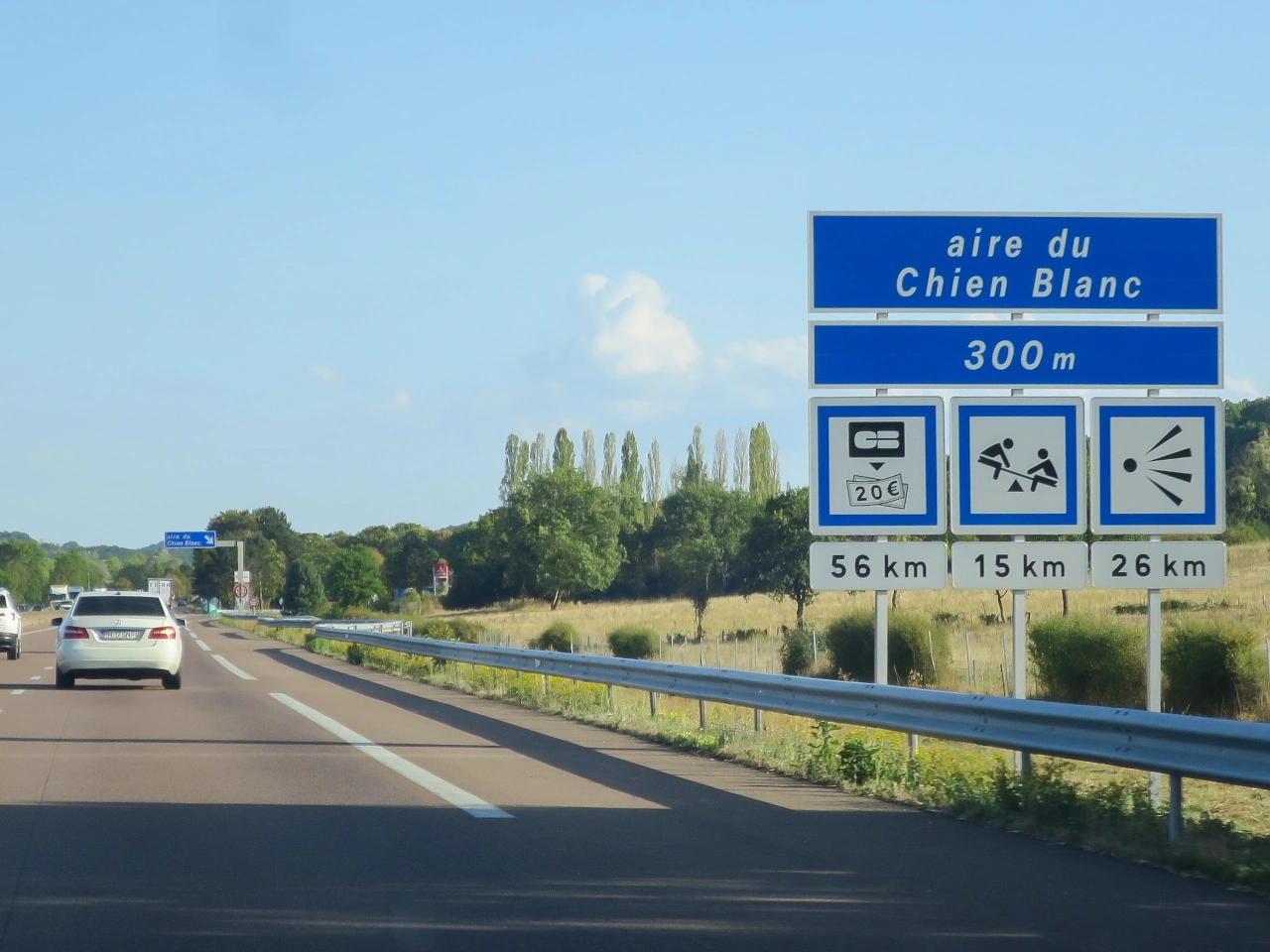
An ATM (automated teller machine) is a self-service banking machine that allows people to perform transactions such as withdrawing cash and, depending on the machine and bank, checking balances or carrying out other banking services. ATMs may be located at banks, shopping areas, filling stations, service areas or other public locations.
Where an ATM is available as a roadside service, it may be indicated by a banking, cash or service symbol. The symbols and signs used to indicate ATM facilities vary between countries and operators.
Wikimedia.org • Poudou99 • CC BY
What is an ATM?
An ATM is an automated teller machine that allows users to withdraw cash and perform certain other banking transactions without entering a bank.
Where can ATMs be found?
ATMs may be located at banks, shopping areas, filling stations, service areas, transport facilities and other public locations.
Is there an international road sign for an ATM?
Not universally. Some countries or service operators use banking or cash symbols to indicate an ATM, but the design and legal status of these signs vary.

102. Bed and breakfast
A bed and breakfast is a type of accommodation that provides guests with an overnight stay and breakfast, usually in a smaller establishment such as a private home, guesthouse or small lodging property. Facilities and services vary between establishments and countries.
Bed and breakfasts may be indicated on tourist or accommodation direction signs, particularly in areas where accommodation services are signposted for travellers. The symbols and terminology used vary between countries.

Wikimedia.org • Marc Mongenet • CC BY-SA
What is a bed and breakfast?
A bed and breakfast, often abbreviated to B&B, is accommodation that normally provides an overnight stay together with breakfast.
How is a bed and breakfast different from a hotel?
A bed and breakfast is typically a smaller accommodation establishment and may be operated from a private residence or guesthouse, while hotels generally provide a wider range of rooms and services.
Can bed and breakfasts be indicated by road signs?
Yes. Some countries allow tourist or accommodation signs to direct travellers toward bed and breakfasts, although the signs and symbols used vary between countries.
103. Dock
A dock or mooring is a designated waterside place where a boat or ship can stop and be secured. A dock may include a quay, pier, jetty or harbour structure, while a mooring may consist of a berth, buoy or other fixed point used to secure a vessel.
Road signs may direct travellers toward harbours, marinas, ferry terminals or other waterside facilities. The terminology and symbols used for docks and moorings vary between countries.

Wikimedia.org • Marc Mongenet • CC BY-SA
What is a dock or mooring?
A dock or mooring is a place where a boat or ship can stop and be secured alongside a structure or to a designated mooring point.
What is the difference between a dock and a mooring?
A dock usually refers to a waterside structure or berthing area, while a mooring refers more generally to a place or equipment used to secure a vessel.
Can docks and moorings be indicated by road signs?
Yes. Direction or tourist signs may indicate harbours, marinas, ferry terminals and other waterside facilities, although the symbols used vary between countries.
104. Cable car
A cable car is a passenger transport system in which cabins or cars are moved by cables, often between locations with a significant difference in elevation. Cable cars are commonly used in mountainous areas, tourist destinations and some urban transport networks.
Road signs may direct travellers toward a cable car station or terminal as a transport or tourist facility. The symbols and terminology used to indicate cable cars vary between countries.

Wikimedia.org • Marc Mongenet • CC BY-SA
What is a cable car?
A cable car is a transport system in which passenger cabins or cars are moved along a route by cables.
Where are cable cars commonly used?
Cable cars are commonly found in mountainous areas, ski resorts, tourist destinations and some cities where they provide transport across steep or difficult terrain.
Can cable car stations be indicated by road signs?
Yes. Road or tourist direction signs may guide travellers toward cable car stations, although the symbols and sign designs used vary between countries.
105. Café
A café is an establishment where drinks and often light food or snacks are served to customers. Cafés may be located in towns, service areas, tourist destinations or other places where travellers can stop for refreshments.
Cafés and similar refreshment facilities may be indicated by service, tourist or direction signs. The symbols and terminology used vary between countries.

Wikimedia.org • Marc Mongenet • CC BY-SA
What is a café?
A café is an establishment where customers can obtain drinks and often light meals, snacks or other refreshments.
Can cafés be indicated by road signs?
Yes. Some countries use service, tourist or direction signs to indicate cafés, refreshment facilities or similar establishments.
Is a café sign the same as a restaurant sign?
Not necessarily. Some road-sign systems distinguish between restaurants and establishments primarily offering drinks or refreshments.
106. Motorhome wastewater disposal
Motorhome wastewater disposal is a designated facility where motorhomes, campervans or caravans can safely empty wastewater from their onboard tanks. Depending on the facility, separate disposal points may be provided for grey water from sinks and showers and for toilet waste from cassette or holding tanks.
Camper drainage facilities are commonly found at campsites, motorhome service areas and some rest or parking areas. Wastewater should be discharged only into the appropriate designated system and according to the instructions provided at the facility.

Wikimedia.org • Marc Mongenet • CC BY-SA
What is camper drainage?
Camper drainage is a facility where wastewater from a motorhome, campervan or caravan can be emptied into an appropriate disposal system.
What types of camper wastewater can be emptied?
Facilities may provide disposal for grey water from sinks and showers and toilet waste from cassette or holding tanks. Separate disposal points may be required.
Where can camper drainage facilities be found?
They are commonly available at campsites, motorhome service areas and specially equipped parking or rest areas. Facilities vary by location.
107. Ferry
A ferry is a vessel that transports passengers, vehicles or goods across a river, lake, sea channel or other body of water. Vehicle ferries form part of some road routes and allow drivers to continue their journey where no bridge, tunnel or continuous road connection is available.
Drivers approaching a ferry terminal should follow the direction signs, lane markings and instructions from ferry personnel. Boarding procedures, vehicle restrictions, schedules and payment requirements vary between ferry services.

Wikimedia.org • KiwiNeko14 • CC BY-SA
What is a ferry?
A ferry is a vessel that carries passengers, vehicles or goods across a body of water between designated terminals.
Can a ferry form part of a road route?
Yes. Vehicle ferries can connect sections of a road network where traffic must cross a river, lake, channel or other body of water.
What should drivers do when approaching a ferry?
Follow the direction signs, designated lanes and instructions from ferry personnel, and wait or board only when instructed to do so.
108. Carsharing
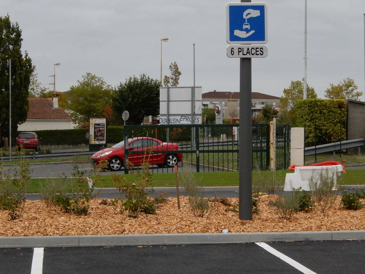
Carsharing is a transport system in which multiple people use the same vehicle at different times instead of each person owning a separate car. Vehicles may be reserved through an organisation, membership service or digital platform and can be collected from fixed parking locations or, in some systems, from within a designated operating area.
Carsharing can reduce the need for private vehicle ownership and may use parking spaces specifically reserved for shared vehicles. The rules, permits and parking arrangements for carsharing differ between countries and cities.
Wikimedia.org • KiwiNeko14 • CC BY-SA
What is carsharing?
Carsharing is a system in which several people use one or more shared cars at different times rather than each user owning the vehicle.
How does carsharing work?
Users normally reserve a shared vehicle for a particular journey or period through a carsharing organisation or platform and return or leave it according to the rules of that service.
Can parking spaces be reserved for carsharing vehicles?
Yes. Some countries and municipalities provide parking spaces specifically reserved for authorised shared vehicles. The signs, permits and conditions vary by location.
109. Chairlift
A chairlift is an aerial transport system in which open or partially enclosed seats are suspended from a continuously moving cable. Chairlifts are commonly used in ski areas and mountain resorts to transport passengers uphill or between different parts of a recreational area.
Road or tourist signs may direct travellers toward a chairlift station, ski lift or mountain transport facility. The symbols and terminology used vary between countries.

Wikimedia.org • Takkk • CC BY-SA
What is a chairlift?
A chairlift is an aerial transport system that carries passengers in seats suspended from a moving cable.
Where are chairlifts commonly used?
Chairlifts are commonly found at ski resorts, mountain recreation areas and other locations where passengers need to travel up steep slopes.
Can chairlifts be indicated by road signs?
Yes. Tourist or direction signs may guide travellers toward chairlifts or ski-lift facilities, although the signs and symbols used vary between countries.
110. City limit
A city limit is a boundary or roadside indication showing that a driver is entering or leaving a named city, town, village, locality or municipality. It is commonly marked by a place-name or boundary sign.
The meaning of these signs varies between countries. A city-limit or locality sign may identify an administrative boundary, a named settlement or a traffic-related boundary. It does not necessarily mark the beginning or end of a legally defined built-up area, and passing the sign does not always change the applicable speed limit or other traffic rules.
Wikimedia.org • Havang • CC0
What is a city limit?
A city limit marks the boundary of a city, town, village, locality or municipality. On roads, it is often indicated by a place-name or boundary sign.
Does a city-limit sign always mark a built-up area?
No. A city-limit or locality sign may simply identify a place or administrative boundary. A legally defined built-up area can use a different sign or definition.
Does passing a city-limit sign always change the speed limit?
No. In some countries a locality or boundary sign has consequences for traffic rules, while in others it mainly identifies the place. Drivers must follow the traffic signs and rules that apply in that country.
Is a city limit the same as a municipal boundary?
Not always. Some signs indicate an administrative municipal boundary, while others identify a city, town, village or locality without exactly following the municipality's legal boundary.
What is the difference between a city limit and a built-up area?
A city limit identifies the boundary of a named place or administrative area. A built-up area is a traffic-law concept that may affect rules such as default speed limits. The two boundaries can coincide, but they do not have to.
111. Tram crossing
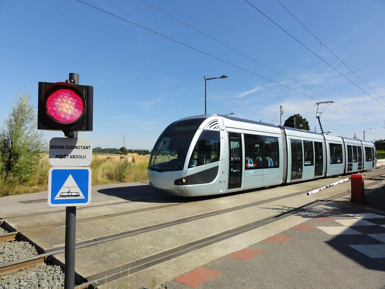
A tram crossing is a place where a road, cycle path or pedestrian route crosses one or more tram tracks. Tram crossings may occur at intersections, along streets with embedded tracks or where a tram line crosses the road separately.
Road users approaching a tram crossing should watch carefully for approaching trams and obey the applicable signs, signals and priority rules. Because trams run on rails and cannot steer around obstacles, extra caution is required when crossing their path.
Wikimedia.org • Jérémy-Günther-Heinz Jähnick • GFDL
What is a tram crossing?
A tram crossing is a place where a road, cycle path or pedestrian route crosses one or more tram tracks.
How can a tram crossing be indicated?
A tram crossing may be indicated by warning signs, traffic lights, road markings or other traffic-control devices. The exact system varies between countries.
What should you do when approaching a tram crossing?
Approach carefully, look and listen for trams and follow the applicable priority rules and traffic signals. Never enter the crossing if you cannot clear the tracks safely.
112. Truck ecotax
A truck ecotax is a road charge imposed on certain heavy goods vehicles, often with the amount influenced by factors such as distance travelled, vehicle weight and emissions. These charging systems are intended to make heavy vehicles contribute to road-infrastructure costs and, in some systems, encourage the use of vehicles with lower emissions.
A truck ecotax may be collected through an electronic tolling system or onboard unit that records the roads or distance travelled. The vehicles covered, tariffs, exemptions and environmental classifications vary between countries.

Wikimedia.org • Marc Mongenet • CC BY-SA
What is a truck ecotax?
A truck ecotax is a road charge for certain heavy goods vehicles that may take account of factors such as distance travelled, vehicle weight and emissions.
How is a truck ecotax calculated?
Depending on the country, the charge may depend on distance, vehicle weight, emission class, road type or location.
How is a truck ecotax collected?
Many systems use an electronic onboard unit or tolling device that records the vehicle's use of roads subject to the charge.
113. Hiking
A hiking route is a designated route intended primarily for recreational walking or hiking. It may follow footpaths, forest tracks, rural roads or other suitable routes and can connect natural, cultural or tourist destinations.
Hiking routes are often identified by direction arrows, coloured markers, route numbers, symbols or numbered junctions. Their signs and markings are usually part of a recreational wayfinding system rather than ordinary traffic-control signage.

Wikimedia.org • KiwiNeko14 • CC BY-SA
What is a hiking route?
A hiking route is a designated route intended for recreational walking or hiking, often through natural, rural or tourist areas.
How are hiking routes marked?
They may be marked using colours, arrows, symbols, route numbers or numbered junctions. The marking system varies between countries and individual trail networks.
Are hiking-route signs traffic signs?
Not necessarily. Hiking-route markers are often recreational or tourist wayfinding signs and do not normally impose traffic rules unless an official traffic sign is also present.
114. Hospital
A hospital is a healthcare facility where patients receive medical examination, treatment, surgery, emergency care or other specialised health services. Hospitals may serve local communities, large regions or specialised medical needs.
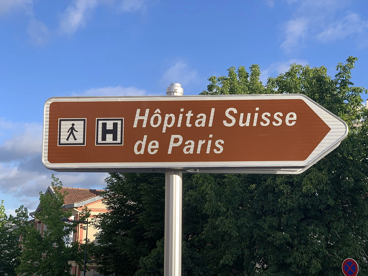
Road signs may direct drivers toward a hospital using a medical or hospital symbol. Drivers should follow the applicable direction signs and take particular care around hospital entrances, where ambulances, pedestrians and other vehicles may be entering or leaving.
Wikimedia.org • Chabe01 • CC BY-SA
What is a hospital?
A hospital is a healthcare facility where patients can receive medical treatment, emergency care, surgery and other specialised health services.
Can hospitals be indicated by road signs?
Yes. Many countries use hospital or medical symbols on information and direction signs to guide drivers toward healthcare facilities.
What should drivers watch for near a hospital?
Drivers should watch carefully for ambulances, pedestrians, cyclists and vehicles entering or leaving hospital grounds and follow any local traffic restrictions or signs.
115. Hotel
A hotel is an accommodation establishment that provides rooms or other lodging for travellers and guests. Hotels may also offer services such as restaurants, breakfast, parking, reception, meeting facilities or recreational amenities.
Hotels may be indicated by accommodation, service or direction signs to help travellers locate overnight lodging. The symbols and sign systems used vary between countries.
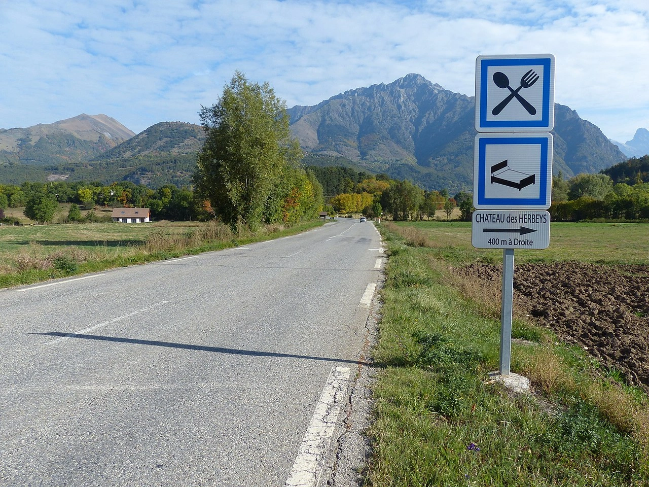
Wikimedia.org • Marc Mongenet • CC BY-SA
What is a hotel?
A hotel is an establishment that provides paid overnight accommodation for travellers and other guests.
What services can a hotel provide?
Depending on the establishment, a hotel may provide rooms, meals, parking, reception services and other facilities for travellers.
Can hotels be indicated by road signs?
Yes. Many countries use service or direction signs to guide travellers toward hotels and other accommodation facilities.
116. Greenway
A greenway is a route intended primarily for non-motorised travel, such as walking and cycling. Greenways are often created along former railway lines, canal towpaths, rivers, forest routes or other corridors separated from busy motor traffic.
Greenways are designed to provide a safe and comfortable route for recreation and everyday travel. Depending on local rules, they may also be accessible to riders, mobility users or certain authorised vehicles.
Wikimedia.org • Marc Mongenet • CC BY-SA
What is a greenway?
A greenway is a route intended primarily for non-motorised users such as pedestrians and cyclists.
Where are greenways commonly created?
Greenways may follow former railway lines, canal towpaths, river corridors, forest paths or other routes separated from busy motor traffic.
Can motor vehicles use a greenway?
Usually not as ordinary through traffic. However, local rules may allow certain vehicles, such as maintenance, emergency, agricultural or access vehicles.
117. Picnic site
A picnic site is a designated outdoor area where travellers or visitors can stop to eat and rest. It commonly provides picnic tables or benches and may also include parking, litter bins, toilets, shelters or other recreational facilities.
Picnic sites may be located at rest areas, parks, scenic viewpoints or tourist destinations and can be indicated by service, recreational or tourist signs. The symbols used vary between countries.

Wikimedia.org • Aups • CC BY-SA
What is a picnic site?
A picnic site is a designated outdoor place where travellers and visitors can stop, rest and eat.
What facilities can a picnic site provide?
A picnic site may provide tables, benches, parking, litter bins, toilets, shelters or other recreational facilities, depending on the location.
Can picnic sites be indicated by road signs?
Yes. Service, recreational or tourist signs may direct travellers toward picnic sites, although the symbols and sign systems vary between countries.
118. Playground
A playground is an outdoor or indoor area designed for children to play, usually equipped with facilities such as swings, slides, climbing structures or open play spaces. Playgrounds may be located in parks, residential areas, schools, recreation centres or other public places.
Drivers travelling near a playground should watch carefully for children who may enter or cross the road unexpectedly and adjust their speed to the surrounding conditions.

Wikimedia.org • Marc Mongenet • CC BY-SA
What is a playground?
A playground is an area designed for children's play, often containing play equipment or other recreational facilities.
Can road signs warn drivers about a nearby playground?
Yes. Some countries use warning or tourist signs where children are frequently present or to indicate recreational facilities such as playgrounds.
How should drivers behave near a playground?
Drivers should reduce speed when necessary, watch carefully for children and be prepared to stop if a child enters or approaches the roadway.
119. Restaurant
A restaurant is an establishment where prepared meals and drinks are served to customers. Restaurants may be located in towns, shopping areas, tourist destinations, filling stations or motorway service areas.
Restaurants may be indicated by service, tourist or direction signs to help travellers find places where meals are available. The symbols and sign designs used vary between countries.

Wikimedia.org • Tabl-trai • CC BY-SA
What is a restaurant?
A restaurant is an establishment where customers can order and consume prepared meals and drinks.
Can restaurants be indicated by road signs?
Yes. Many countries use service or direction signs to guide travellers toward restaurants or food facilities.
Where can roadside restaurants be found?
They may be located at motorway service areas, filling stations, rest areas, towns and tourist destinations.
120. Road closed
Road closed means that a road or section of road is temporarily or permanently unavailable to some or all traffic. A closure may be necessary because of roadworks, an accident, flooding, an event, structural damage or another situation that makes continued access unsafe or undesirable.
Drivers approaching a closed road should obey the closure signs and barriers and follow any indicated diversion. Exceptions may apply to authorised vehicles, emergency services, residents or local traffic where specifically indicated.
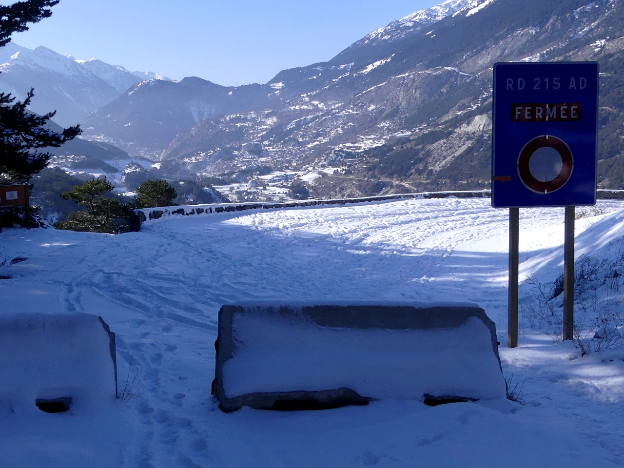
Wikimedia.org • Florian Pépellin • CC BY-SA
What does road closed mean?
Road closed means that access to a road or section of road is prohibited or unavailable to the traffic covered by the closure.
Why can a road be closed?
Roads may be closed because of roadworks, accidents, flooding, dangerous conditions, public events or other temporary or permanent restrictions.
Can you drive past a road-closed sign?
Normally, no. You must obey the closure unless an exception specifically applies to you, such as authorised access or local traffic where indicated.
121. Road open
Road open means that a road or section of road is available for traffic and that a previous closure has ended or is not currently in effect. A road may reopen after roadworks, an accident, flooding, an event or another temporary restriction has been cleared.
Drivers should still follow all traffic signs, road markings and restrictions that remain in force. A road being open does not necessarily mean that every type of vehicle is permitted to use it.

Wikimedia.org • Chabe01 • CC BY-SA
What does road open mean?
Road open means that traffic is permitted to use a road or section of road that is not currently closed.
How do you know when a closed road has reopened?
Closure signs, barriers or temporary restrictions are normally removed, covered or replaced with signs showing the new traffic arrangement. Drivers should follow the current signs rather than relying on previous conditions.
Does road open mean every vehicle may use the road?
No. Other restrictions may still apply to particular vehicles, directions, speeds or road users even though the road itself is open to traffic.
122. Ski route
A ski route is a designated route intended for skiing, such as an alpine ski trail or cross-country skiing route. Ski routes are commonly found in winter-sports and mountain areas and may connect ski slopes, resorts, lifts or recreational trail networks.
Ski routes may be identified by coloured markers, symbols, route numbers or direction signs. Their difficulty classifications, permitted users and marking systems vary between countries and ski areas.

Wikimedia.org • Marc Mongenet • CC BY-SA
What is a ski route?
A ski route is a designated route intended for skiing, such as an alpine or cross-country skiing route.
How are ski routes marked?
They may be indicated by coloured markers, skiing symbols, arrows or route numbers. The marking system depends on the country and ski area.
Are ski-route signs traffic signs?
Not necessarily. Many ski-route markers form part of a recreational trail system rather than ordinary road-traffic regulation.
123. Winter equipment zone
A winter equipment zone is an area or section of road where vehicles may be required to use specified winter equipment because of snow, ice or other winter conditions. Required equipment can include winter tyres, snow chains or other approved traction devices, depending on the country's rules.
The beginning and end of such a zone may be indicated by traffic signs or temporary winter-condition signs. Drivers should check which vehicles are covered and whether the requirement applies permanently during a season or only when particular weather conditions exist.
Wikimedia.org • Marc Mongenet • CC BY-SA
What is a winter equipment zone?
A winter equipment zone is an area where vehicles may be required to use specified winter equipment such as winter tyres or snow chains.
What equipment can be required in a winter equipment zone?
Depending on the country and conditions, requirements may include winter tyres, snow chains or other approved traction equipment.
Does a winter equipment requirement always apply throughout winter?
Not necessarily. Some requirements apply during a fixed seasonal period, while others apply only when snow, ice or particular road conditions are present.
124. Tourist attraction
A tourist attraction is a place of interest that visitors may travel to for cultural, historical, recreational, natural or entertainment purposes. Examples include monuments, castles, museums, scenic sites, amusement parks and other notable destinations.
Tourist attractions may be indicated by tourist or direction signs that help travellers find the destination. The colours, symbols and types of attractions shown vary between countries.
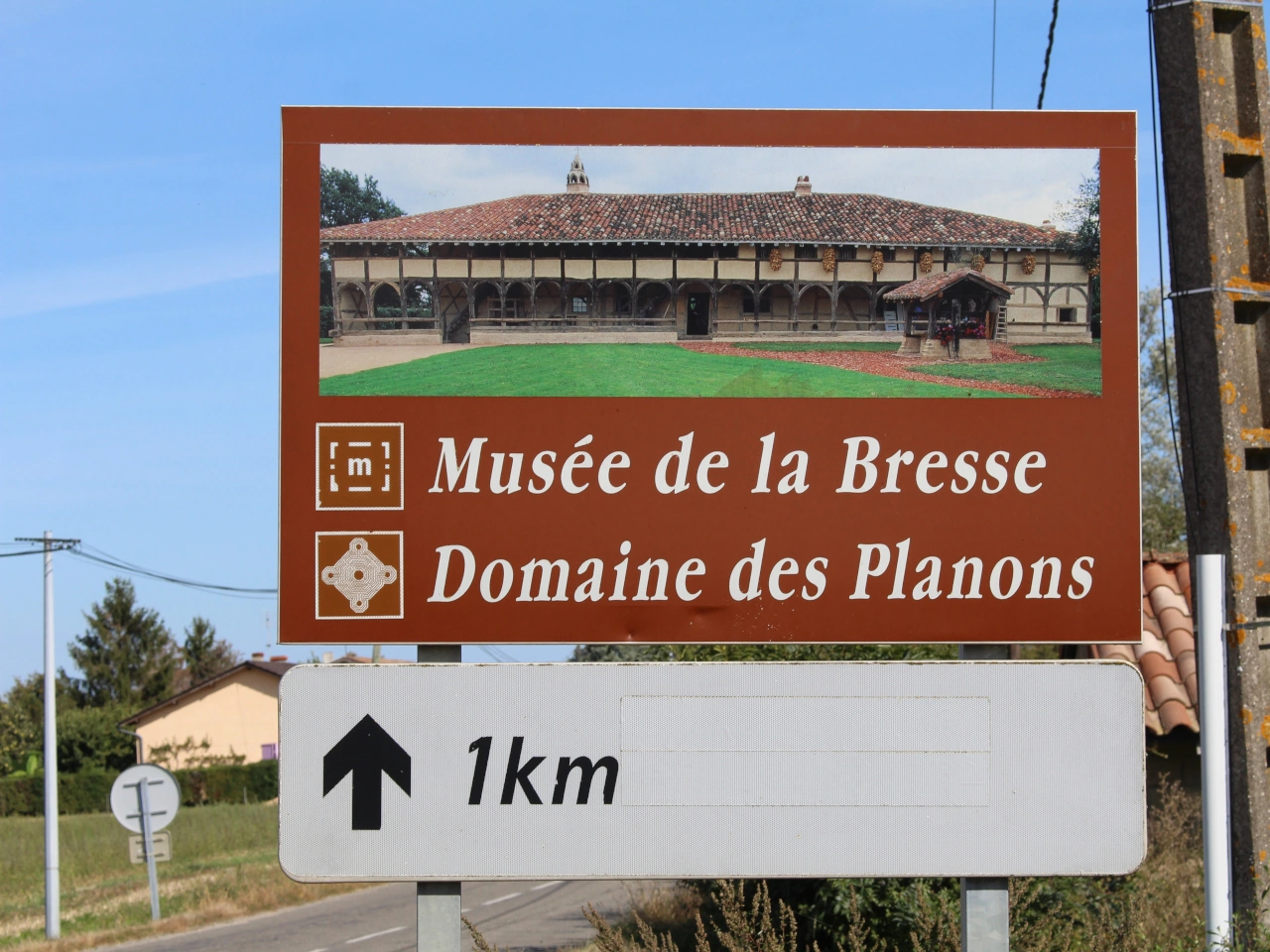
Wikimedia.org • Chabe01 • CC BY-SA
What is a tourist attraction?
A tourist attraction is a place that visitors travel to because of its cultural, historical, natural, recreational or entertainment value.
What are examples of tourist attractions?
Examples include monuments, castles, museums, scenic locations, cultural sites, amusement parks and recreational destinations.
Can tourist attractions be indicated by road signs?
Yes. Many countries use tourist or direction signs to guide travellers toward important attractions and places of interest.
125. Viewpoint
A viewpoint is a designated place where travellers can stop or visit to enjoy a scenic view of the surrounding landscape. Viewpoints are often located along mountain roads, coastal routes, river valleys or other areas of natural or cultural interest.
A viewpoint may include parking, a viewing platform, benches, information panels or other visitor facilities. Tourist or direction signs may be used to guide travellers toward the site.
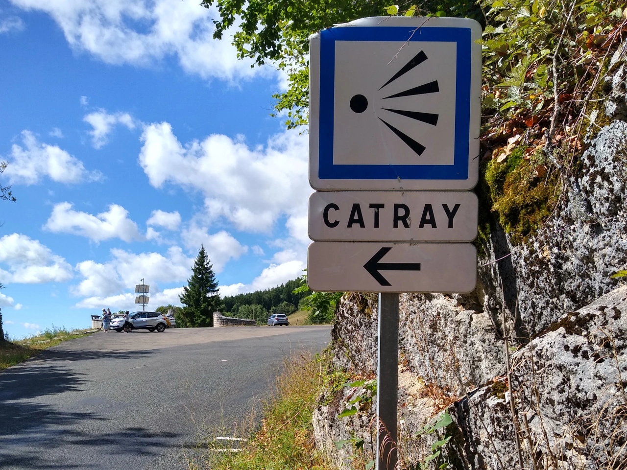
Wikimedia.org • Marc Mongenet • CC BY-SA
What is a viewpoint?
A viewpoint is a designated location that provides visitors with a scenic or notable view of the surrounding landscape.
Where are viewpoints commonly located?
Viewpoints are commonly found along mountain roads, coastlines, valleys, scenic routes and other areas with notable landscapes.
Can viewpoints be indicated by road signs?
Yes. Tourist or direction signs may guide travellers toward scenic viewpoints, although the signs and symbols used vary between countries.