


Traffic signsBelgium
 Traffic rules
 Belgium
 Priority signs
 Warning signs
 Prohibitory signs
 Mandatory signs
 Information signs
 Additional signs
Information signs
An information sign is a traffic sign that provides useful guidance or clarification to road users without imposing rules or warnings. These signs inform drivers about things like parking zones, directions, facilities, road layouts, or the start and end of built-up areas. Their purpose is to help drivers navigate confidently by giving clear, practical information that improves orientation, comfort, and overall traffic flow.













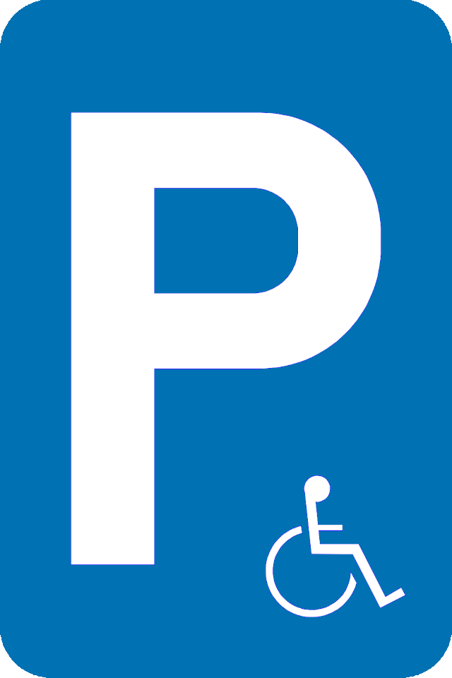










51. Parking only allowed for the disabled
This traffic sign indicates that parking is reserved for people with disabilities. Use of the parking space is subject to the required permit, badge or other conditions specified by the applicable local rules.
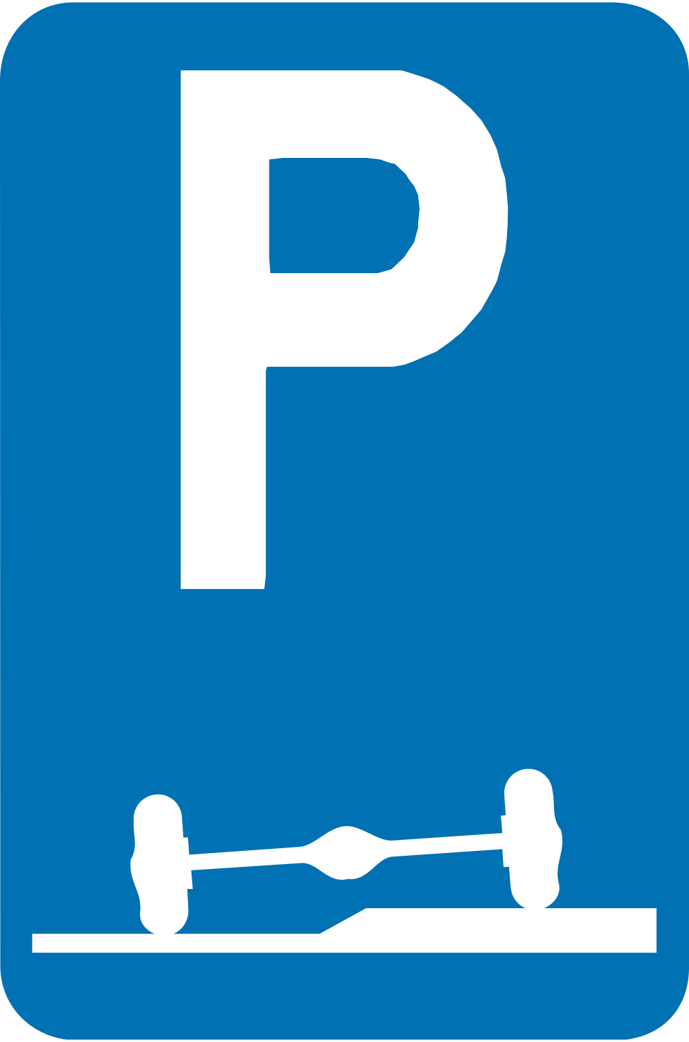
52. Parking partly on the roadway and verge
This traffic sign indicates parking partly on the roadway and adjoining verge or pavement. Vehicles must park in the position shown by the sign, with part of the vehicle on the roadway and part on the adjoining verge or pavement.
Signal routier E9f • Stationnement obligatoire en partie sur l'accotement ou le trottoir.
Verkeersbord E9f • Verplicht parkeren deels op de berm of op het trottoir.
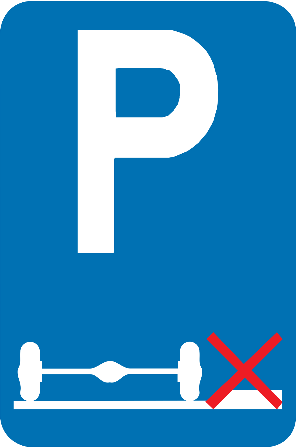
53. Parking only allowed on the road
This traffic sign indicates that parking is only allowed on the road. Vehicles must park entirely on the roadway in the position shown by the sign rather than on the adjoining verge or pavement.
Signal routier E9g • Stationnement obligatoire sur la chaussée.
Verkeersbord E9g • Verplicht parkeren op de rijbaan.
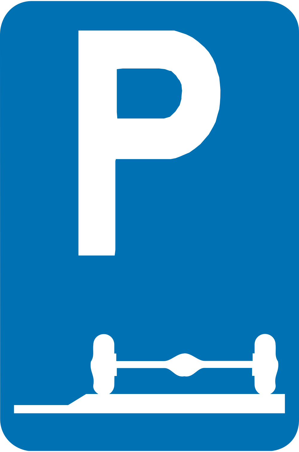
54. Parking only allowed on the verge or pavement
This traffic sign indicates that parking is only allowed on the verge or pavement. Vehicles must park in the position shown by the sign rather than on the roadway.
Signal routier E9e • Stationnement obligatoire sur l'accotement ou sur le trottoir.
Verkeersbord E9e • Verplicht parkeren op de berm of op het trottoir.
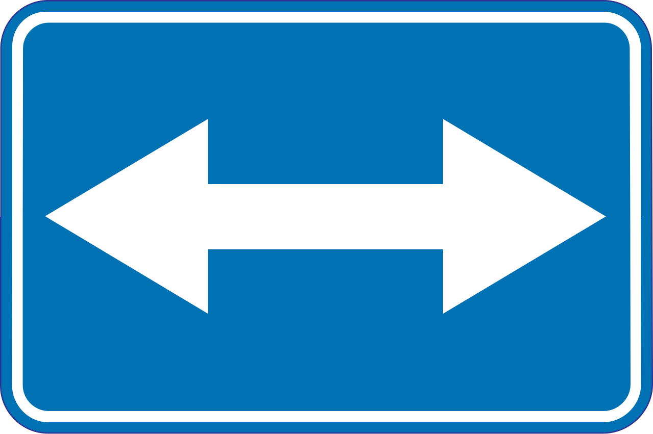
55. Passing left or right allowed
This traffic sign indicates that an obstruction or traffic island may be passed on either the left or the right. Choose the safe and permitted side while following the road layout and any additional signs or markings.
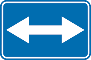
Verkeersbord F21 • Rechts of links voorbijrijden toegelaten.
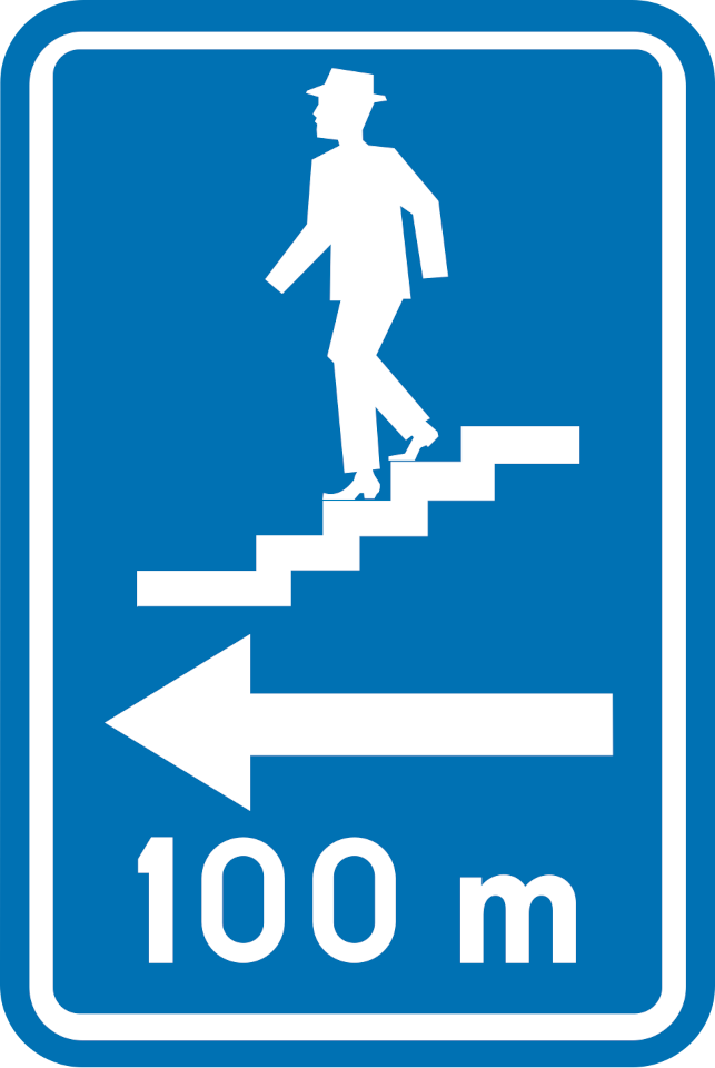
56. Direction to pedestrian underpass
This traffic sign indicates the direction to a pedestrian underpass. Follow the indicated direction to reach the pedestrian route crossing below the road, railway or other obstacle.
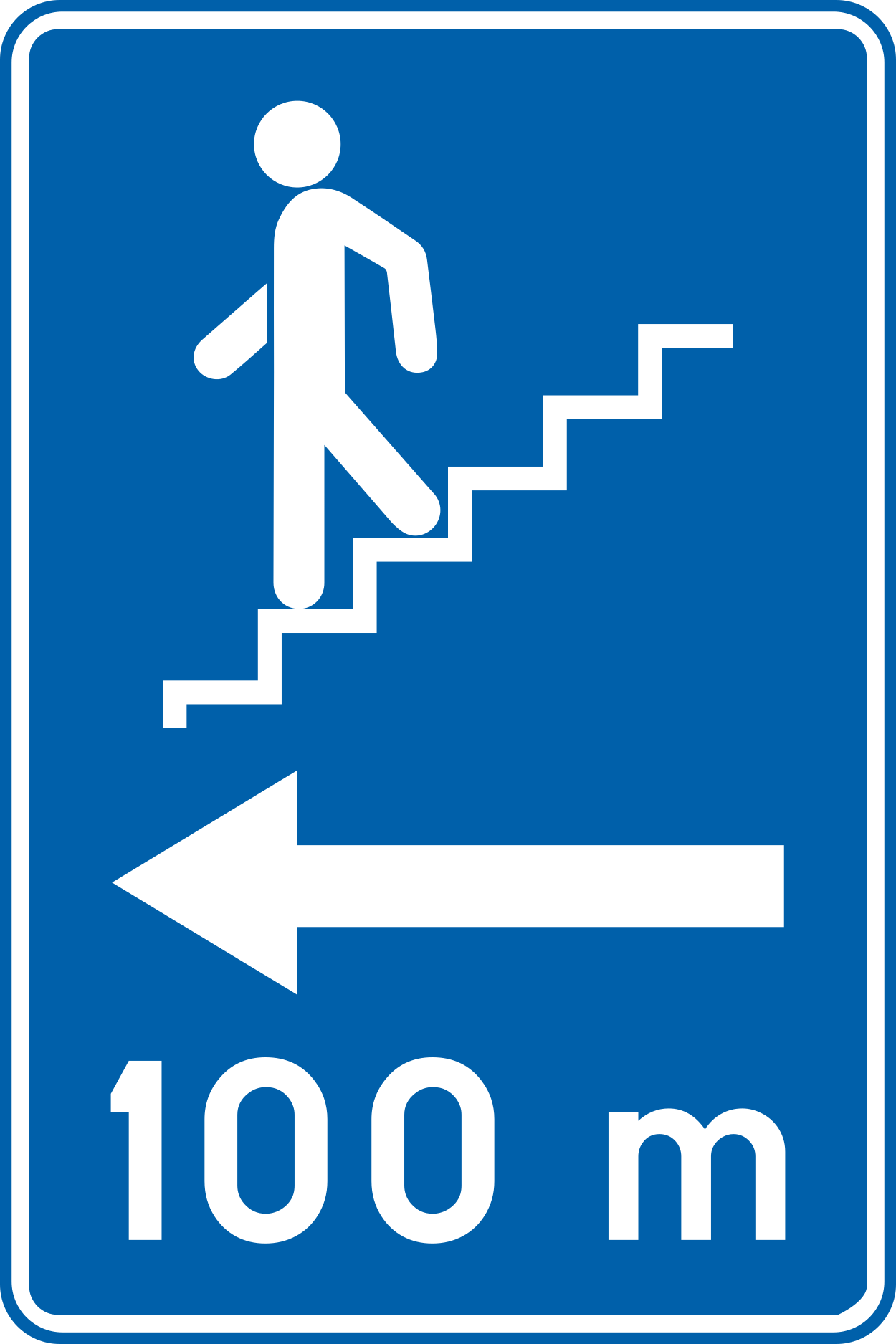
Verkeersbord F51 • Ondergrondse of bovengrondse toegang voor voetgangers.
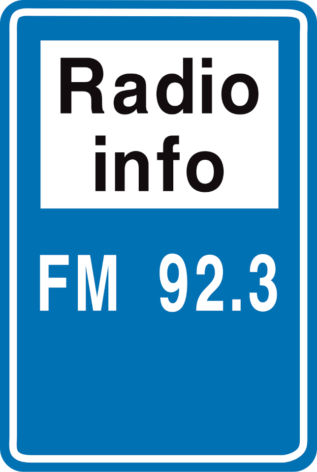
57. Traffic information radio
This traffic sign indicates a radio frequency providing information for road users. Tune to the frequency shown to receive the available traffic or travel information.
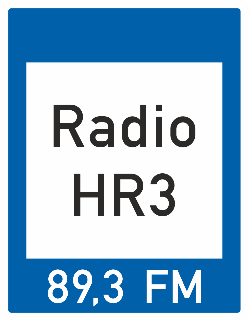
Verkeersbord F93 • Verkeersbord dat een radio-omroep aanduidt waar verkeersinformatie gegeven wordt.
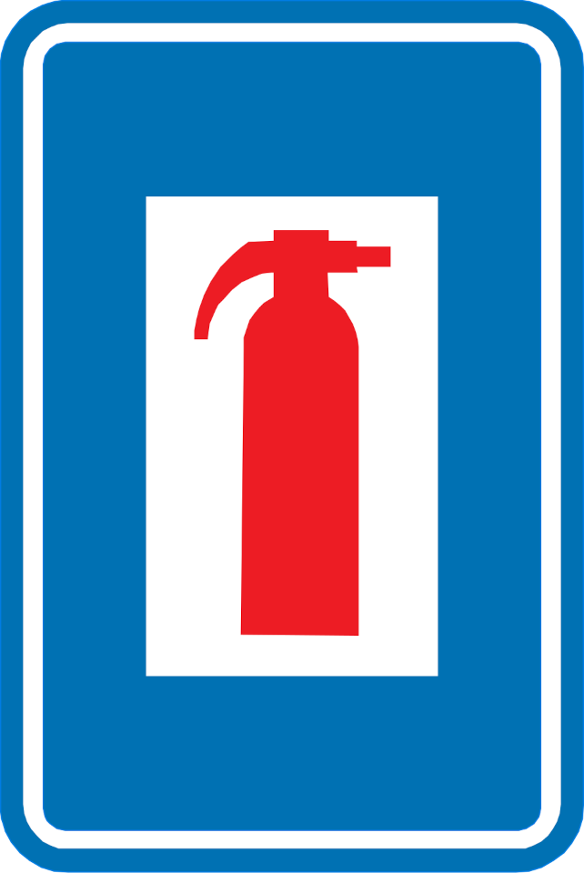
58. Fire extinguisher
This traffic sign indicates the location of a fire extinguisher that is available for use in an emergency.
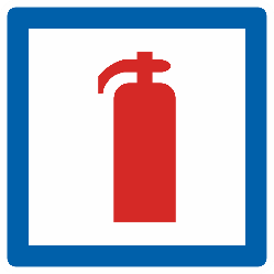
Verkeersbord F56 • Brandblusapparaat.
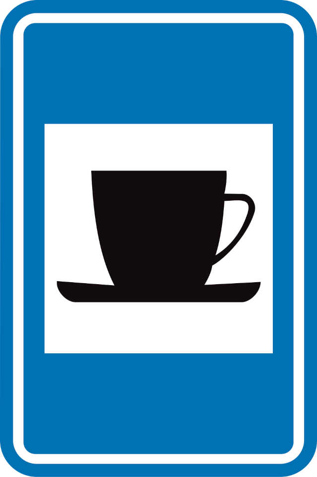
59. Café
This traffic sign indicates a café. A café is a place where drinks and light refreshments are served, and may also offer simple meals.

Verkeersbord F69 • Drankgelegenheid.
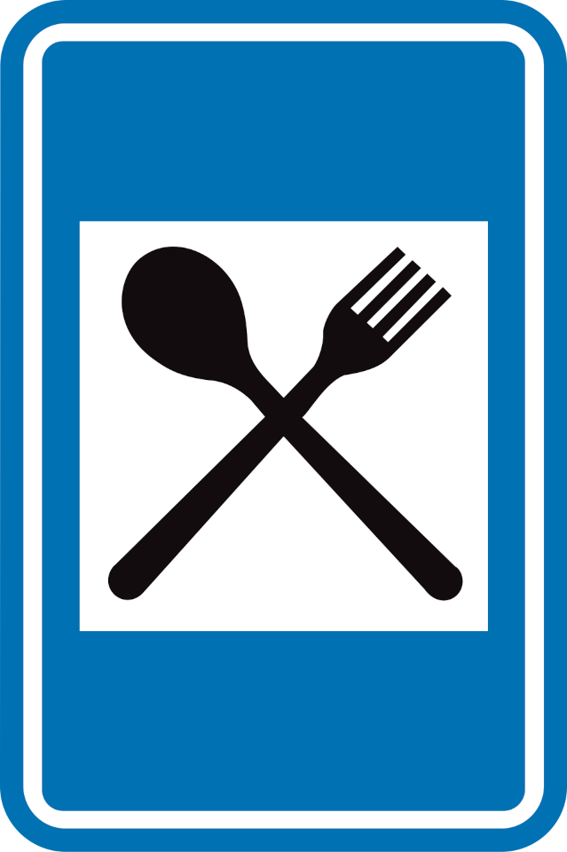
60. Restaurant
This traffic sign indicates a restaurant. A restaurant is a place where prepared meals and drinks are served to customers.

Verkeersbord F67 • Restaurant.
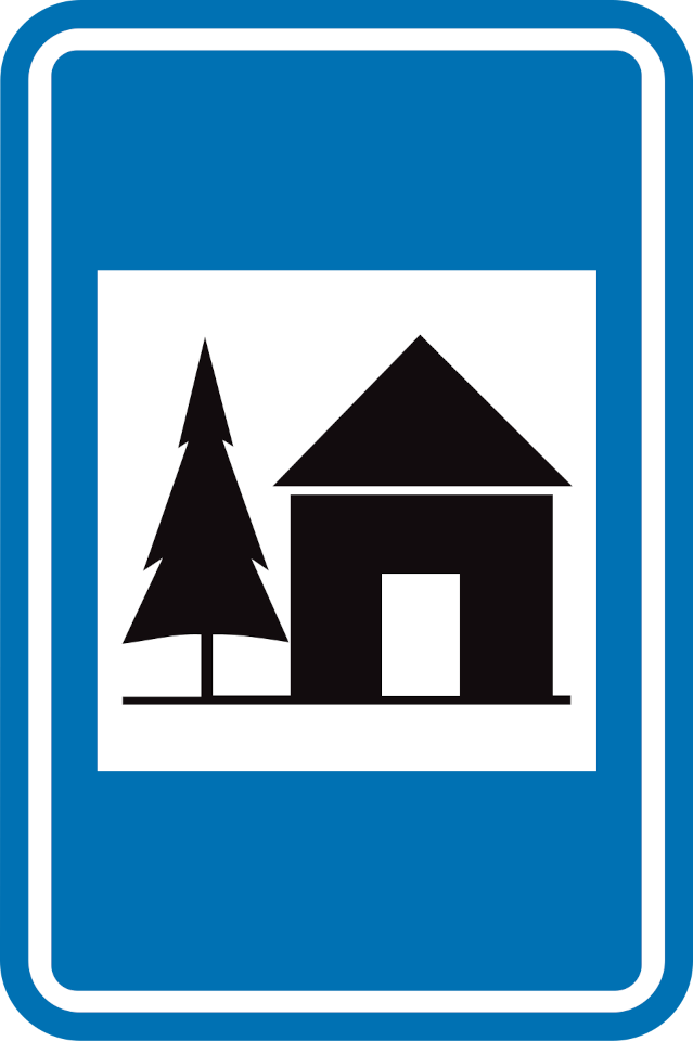
61. Youth hostel
This traffic sign indicates a youth hostel. A youth hostel provides relatively simple accommodation, often with shared rooms or communal facilities, and is commonly used by individual travellers and groups.
Verkeersbord F75 • Jeugdherberg.
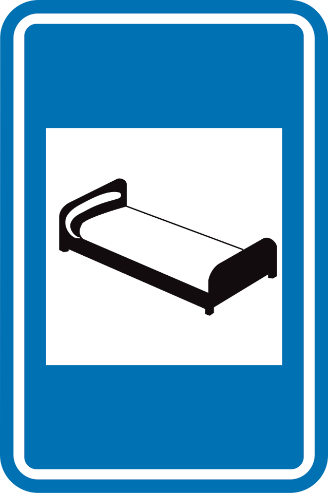
62. Hotel
This traffic sign indicates a hotel. A hotel provides overnight accommodation in individual rooms and may offer additional services such as reception, meals or other guest facilities.
Verkeersbord F66 • Hotel of motel.
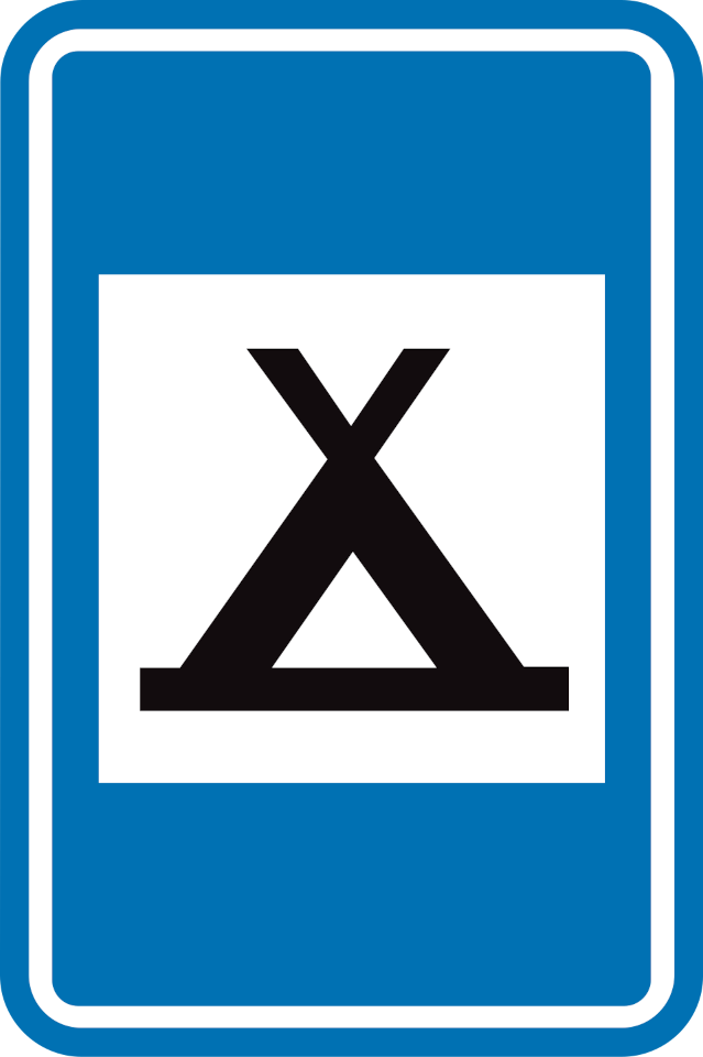
63. Camping site
This traffic sign indicates a camping site. The designated area provides accommodation for people staying in tents.
Verkeersbord F71 • Kampeerterrein.
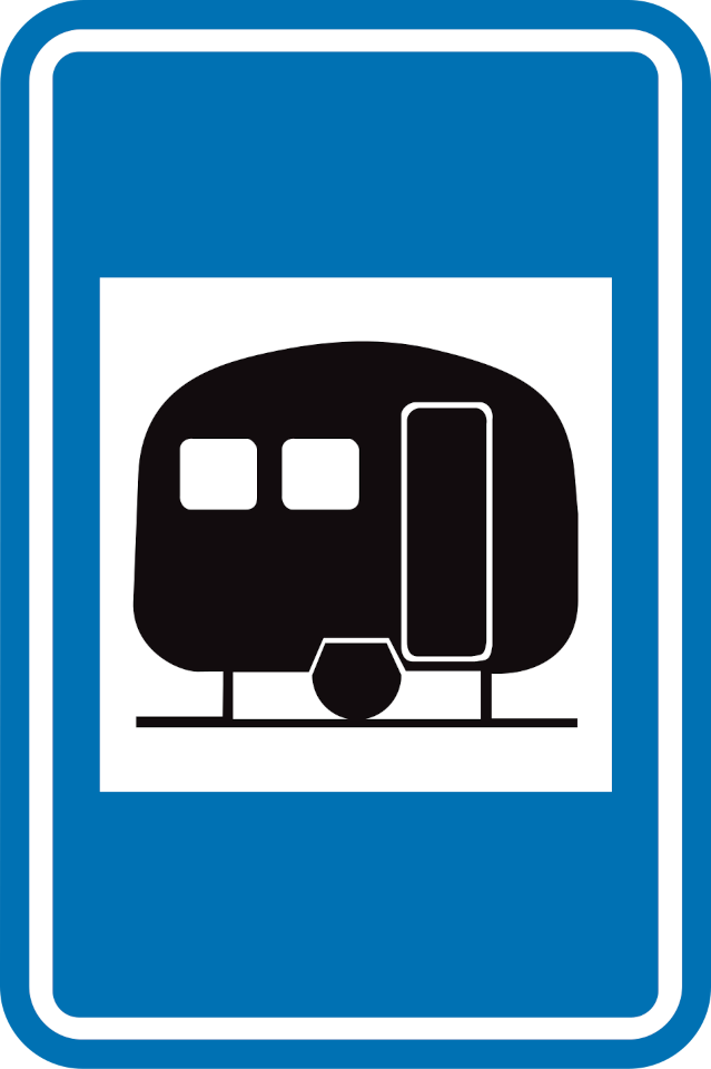
64. Caravan site
This traffic sign indicates a caravan site. The designated area provides parking or accommodation for caravans.
Verkeersbord F73 • Kampeeraanhangwagenterrein.
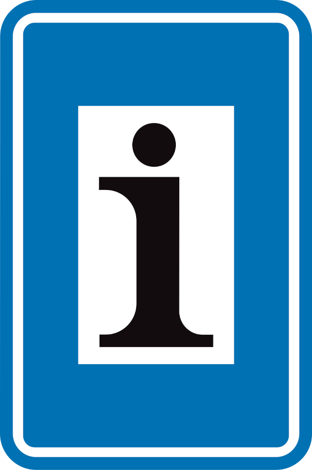
65. Information point
This traffic sign indicates an information point. Information about the local area, destinations or available services can be obtained there.
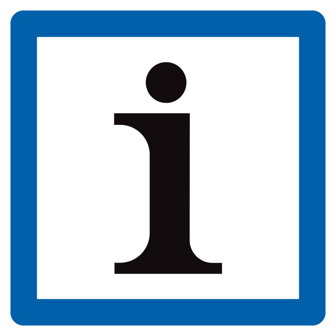
Verkeersbord F77 • Trefpunt voor toeristische informatie.
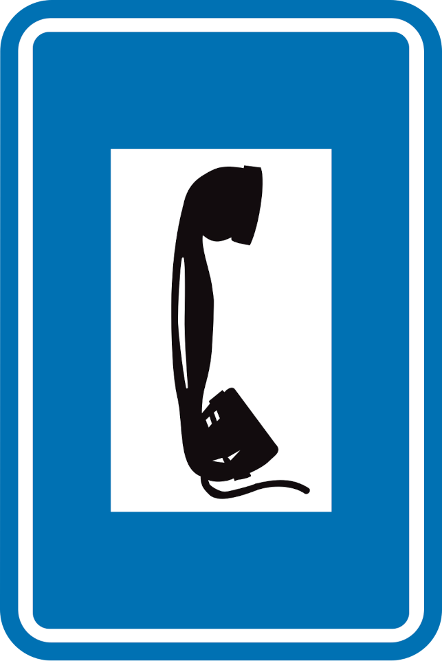
66. Telephone
This traffic sign indicates the location of a telephone available for public use.
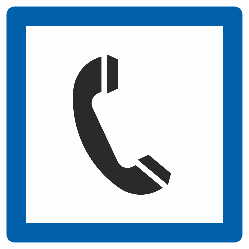
Verkeersbord F63 • Telefoon.
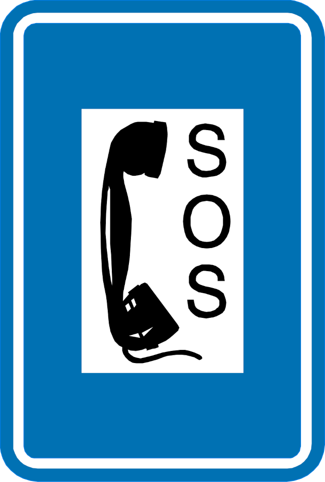
67. Emergency telephone
This traffic sign indicates the location of an emergency telephone. The telephone provides a direct means of requesting assistance in an emergency.
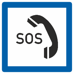
Verkeersbord F64 • Noodtelefoon.
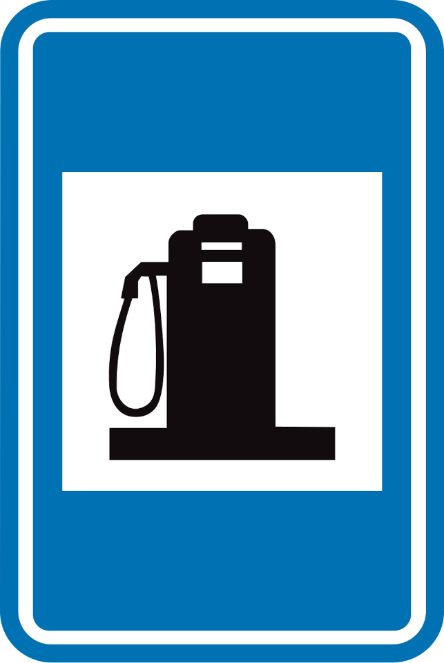
68. Petrol station
This traffic sign indicates a petrol station. Fuel for motor vehicles is available at the indicated location. The available fuel types may be shown on the sign or accompanying information.
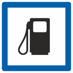
Verkeersbord F65a • Tankstation. Het type brandstof kan aangeduid zijn op het verkeersbord of op een onderbord.
69. Crossroad shape
This traffic sign shows the shape or layout of an upcoming junction. The diagram indicates how the approaching road and connecting roads are arranged.
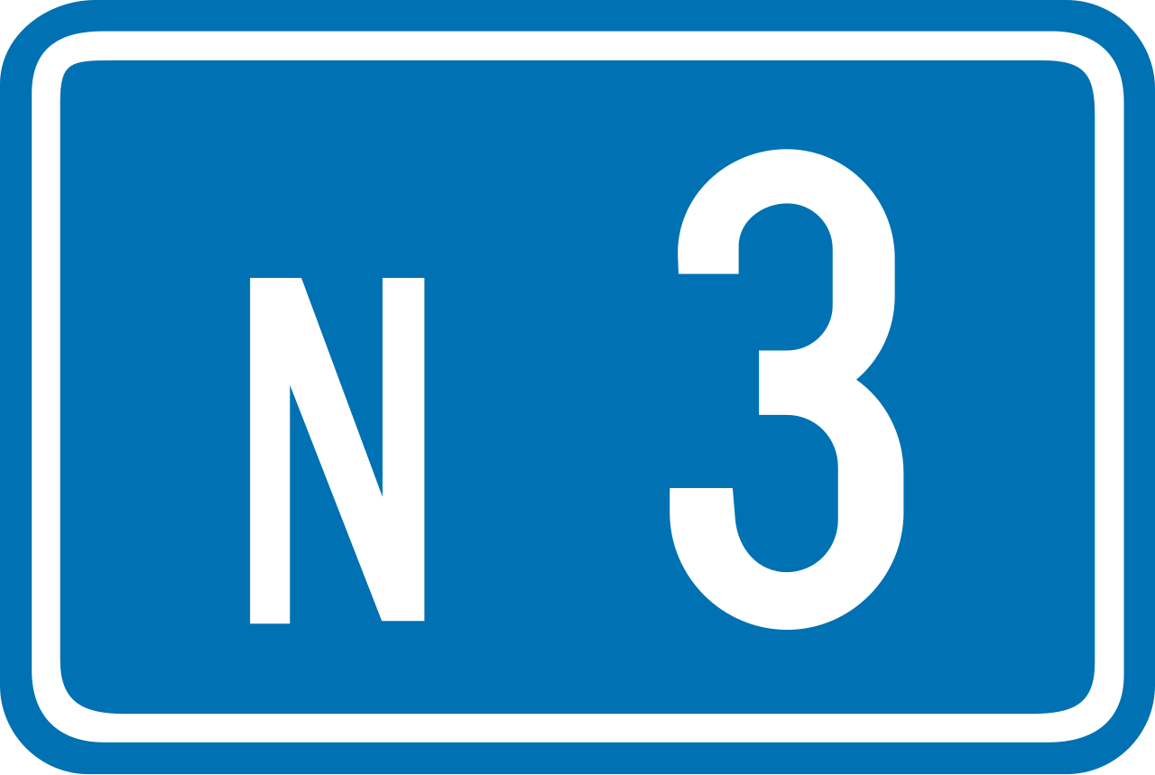
70. Ordinary road number
This traffic sign indicates an ordinary road number. The number identifies the road or route and can be used to follow directions and route signs.
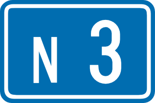
Verkeersbord F23a • Nummer van een gewone weg.
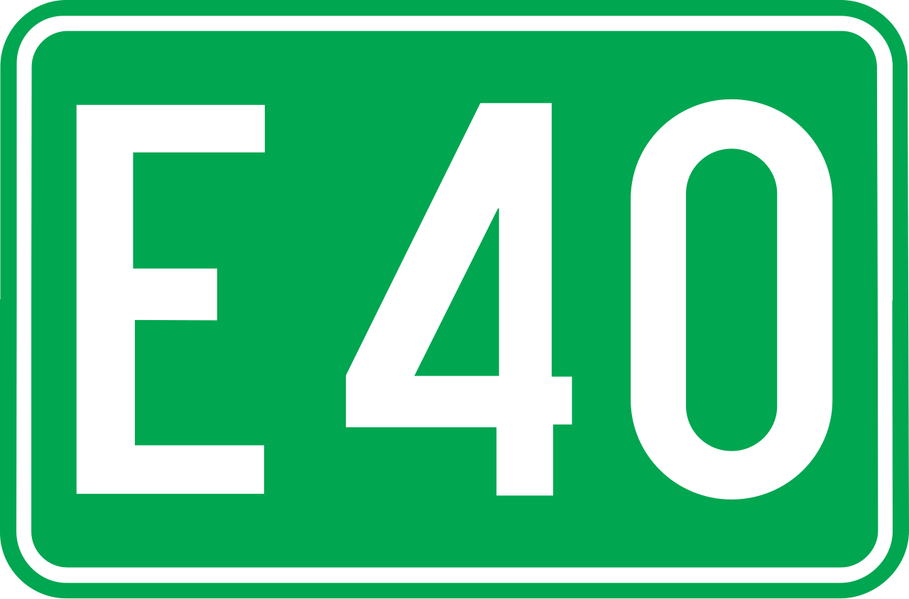
71. E-route number
This traffic sign indicates an E-route number. E-routes form part of the international European road network and are identified by the letter E followed by a route number.
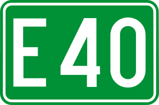
Verkeersbord F23c • Nummer van een internationale weg.
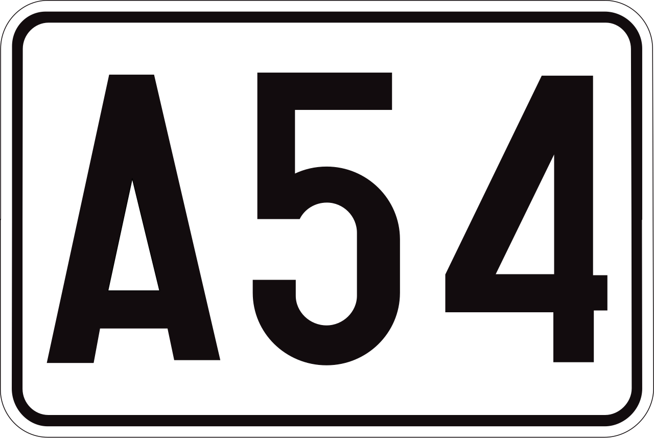
72. Motorway number
This traffic sign indicates a motorway number. The number identifies the motorway and helps road users follow the correct route.
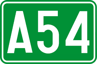
Verkeersbord F23b • Nummer van een autosnelweg.
73. Ring road number
This traffic sign indicates a ring road number. The number identifies a route that forms or follows a ring around a city or another area.
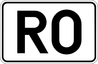
Verkeersbord F23d • Nummer van een ring.
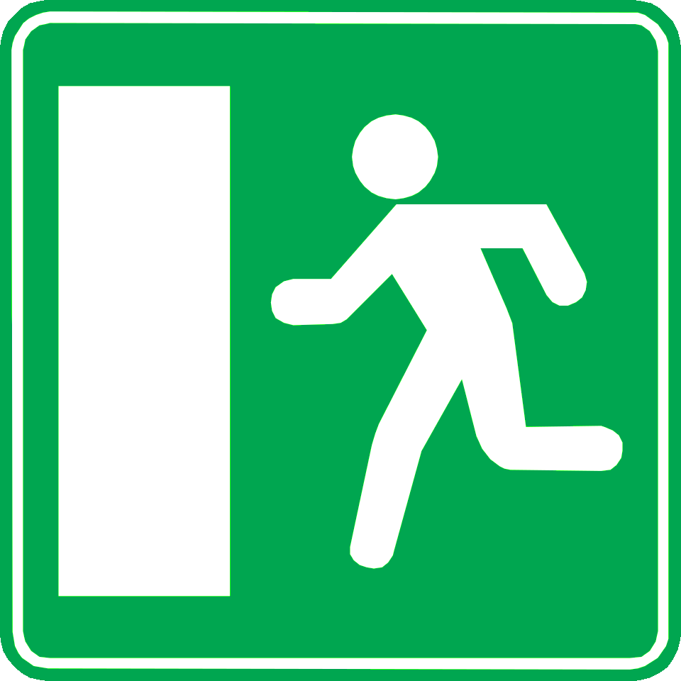
74. Emergency exit
This traffic sign indicates an emergency exit. The exit provides an evacuation route to be used when leaving the area in an emergency.
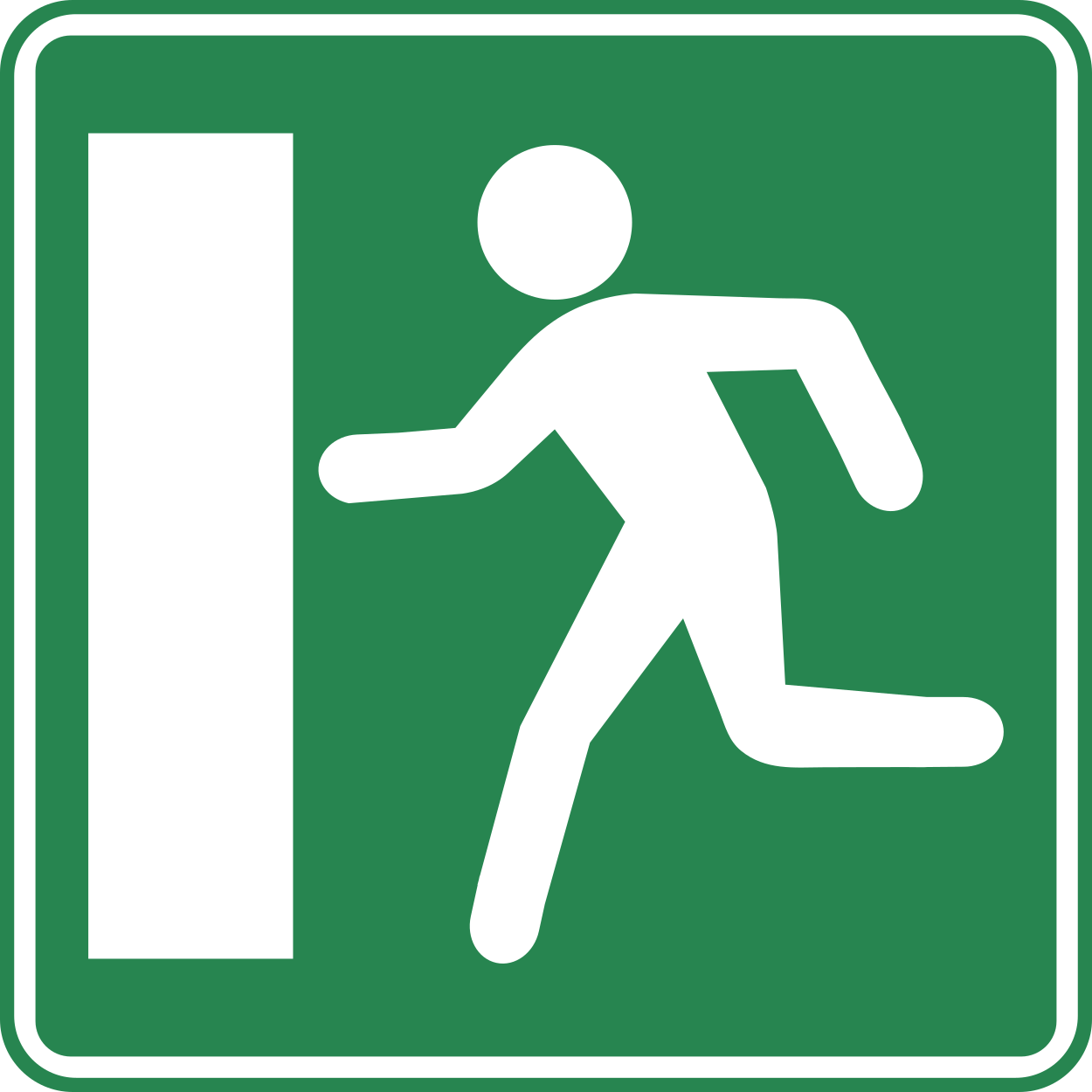
Verkeersbord F52a • Aankondiging van een nooduitgang.
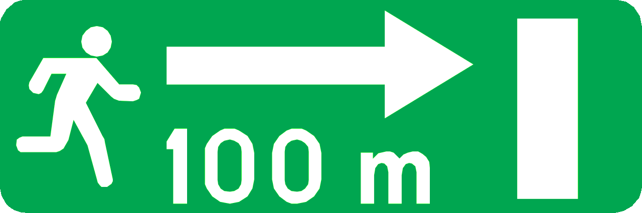
75. Direction to emergency exit
This traffic sign indicates the direction to an emergency exit. Follow the indicated direction to reach the evacuation route or emergency exit.
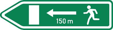
Verkeersbord F52b • Vluchtroute: aankondiging van de dichtstbijzijnde nooduitgang, in de aangeduide richting.
76. Signpost with distance to location
This traffic sign indicates the direction and remaining distance to the named destination.

Verkeersbord F29 • Wegwijzer. De afstand in kilometer kan op de wegwijzer aangeduid zijn.
77. Direction to the motorway
This traffic sign indicates the direction to a motorway and the destination reached by following it.

Verkeersbord F31 • Wegwijzer. Reisweg over een autosnelweg.
78. Recommended route for cyclists
This traffic sign indicates a recommended route for cyclists toward the named destination. Follow the arrow to continue along the suggested cycling route.

Verkeersbord F34b.1 • Wegwijzer: aanbevolen reisweg voor bepaalde categorieën van weggebruikers. Deze borden kunnen ook een groene achtergrond hebben.
79. Recommended route for cyclists to a tourist destination
This traffic sign indicates a recommended route for cyclists to a tourist destination. Follow the arrow to continue along the suggested cycling route.

Verkeersbord F34c.1 • Wegwijzer: aanbevolen reisweg naar een toeristische bestemming voor bepaalde categorieën van weggebruikers. Deze borden kunnen ook een groene achtergrond hebben.
80. Direction to a restaurant
This traffic sign indicates the direction to the named restaurant. Follow the arrow to reach it.

Verkeersbord F37 • Wegwijzer: hotel of motel, restaurant, drankgelegenheid, kampeerterrein, kampeeraanhangwagenterrein, kampeerwagenterrein, jeugdherberg, picknickplaats.
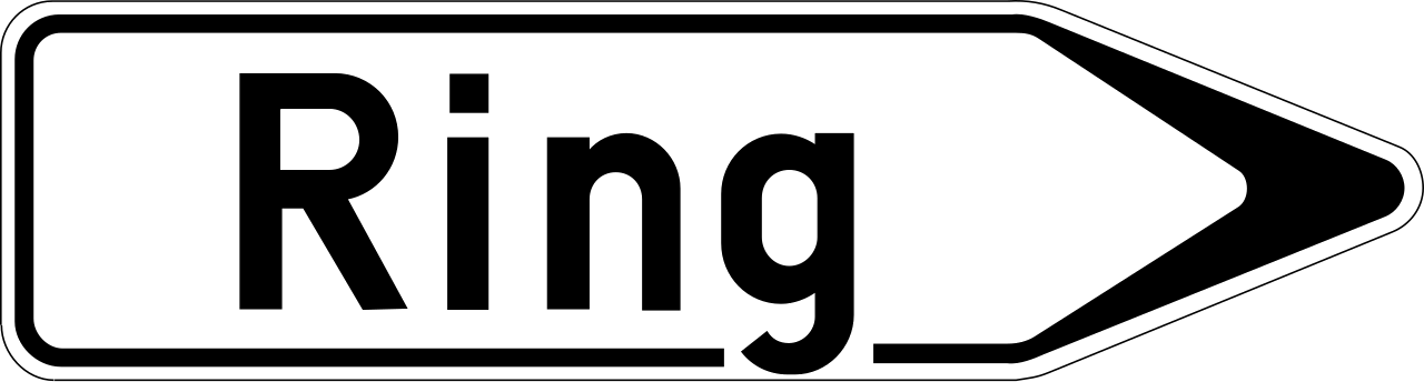
81. Signpost to ring road
This traffic sign indicates the direction to a ring road that routes traffic around a city or town. Follow the arrow to join the ring road.

Verkeersbord F33a • Wegwijzer op afstand: luchthaven, beurs- of tentoonstellingshal, haven, car-ferry, zone met economische activiteiten, ziekenhuis.
82. Signpost to river for tourists
This traffic sign indicates the direction to the named river or another tourist attraction associated with it. Follow the arrow to reach the destination.

Verkeersbord F33b • Wegwijzer op afstand: vallei of waterloop van toeristische aard. De afstand in kilometer kan op de wegwijzer aangeduid zijn.
83. River
This traffic sign indicates the river or other watercourse being crossed. It is an information sign and does not impose a traffic rule.

Verkeersbord F44 • Waterloop.
84. Direction to a railway station
This traffic sign indicates the direction to a nearby railway station. Follow the arrow to reach the station serving the named location.

Verkeersbord F34a • Wegwijzer in de nabijheid van inrichtingen en etablissementen die openbaar zijn of van algemeen belang, bijvoorbeeld een treinstation, een ziekenhuis, een stadhuis of gemeentehuis, een postkantoor.
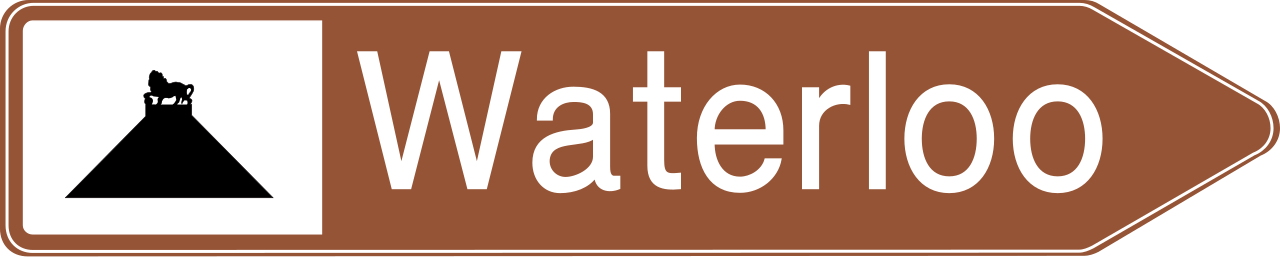
85. Signpost to tourist location
This traffic sign indicates the direction to the named tourist attraction or place of interest. The symbol may identify the type of attraction or a well-known landmark.
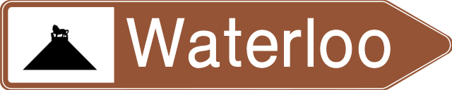
Verkeersbord F33c • Wegwijzer op afstand: sportcentrum of stadium of omnisporthal, historisch monument, ruïnes, klooster of abdij, cultureel park of recreatie- of pretpark, monument of merkwaardig landschap, natuurpark, trefpunt voor toeristische informatie, uitkijkpunt.
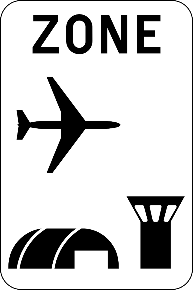
86. Start of airport zone
This traffic sign indicates the start of an airport zone. Special traffic rules or access conditions may apply within the zone. Follow the applicable traffic signs and any instructions given by authorised personnel.
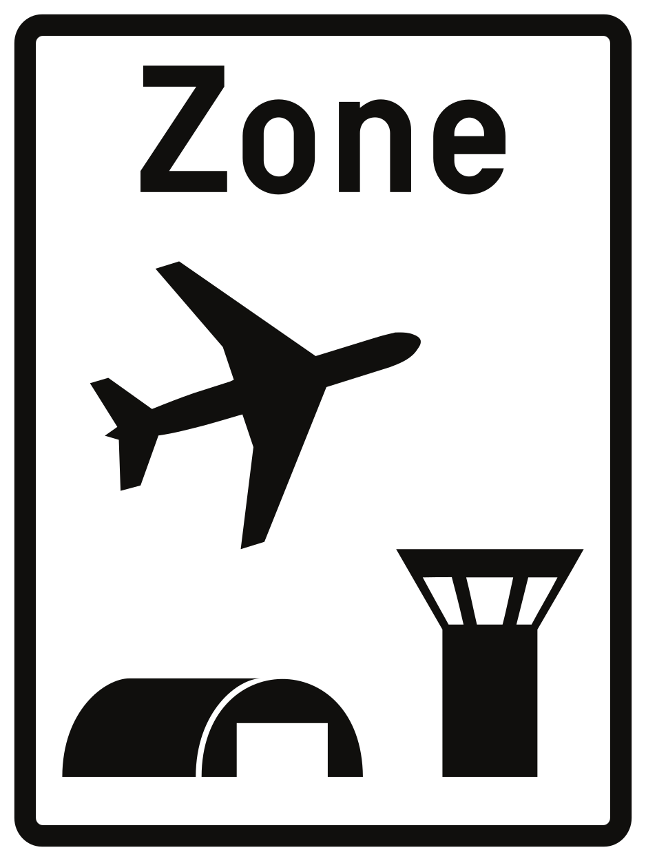
Verkeersbord R21 • Begin van een luchthavengebied. De maximale snelheid die er geldt, kan rechtsonder als aanwijzing op het verkeersbord aangeduid zijn.
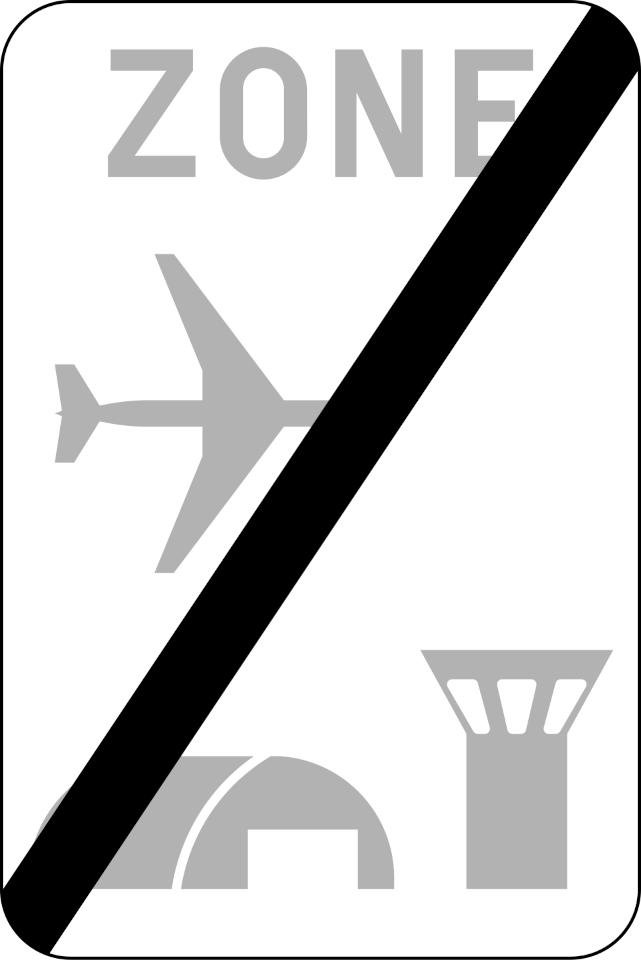
87. End of airport zone
This traffic sign indicates the end of the airport zone. Special rules associated with the airport zone end at this point. Other traffic rules or separately indicated restrictions may still apply.
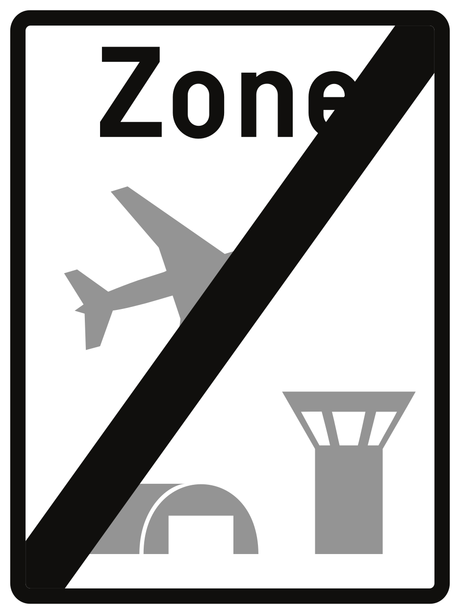
Verkeersbord R23 • Einde van een luchthavengebied.
