

Traffic signsBrussels
 Traffic rules
 Brussels
 Priority signs
 Warning signs
 Prohibitory signs
 Mandatory signs
 Information signs
 Additional signs
Information signs
An information sign is a traffic sign that provides useful guidance or clarification to road users without imposing rules or warnings. These signs inform drivers about things like parking zones, directions, facilities, road layouts, or the start and end of built-up areas. Their purpose is to help drivers navigate confidently by giving clear, practical information that improves orientation, comfort, and overall traffic flow.






















101. Direction to a restaurant
This traffic sign indicates the direction to the named restaurant. Follow the arrow to reach it.
Signal routier F37 • Signal de direction : hôtel ou motel, restaurant, cafétéria, terrain de camping, terrain de caravaning, terrain pour autocaravane, auberge de jeunesse, emplacement pour pique-nique.
Verkeersbord F37 • Wegwijzer: hotel of motel, restaurant, drankgelegenheid, kampeerterrein, kampeeraanhangwagenterrein, kampeerwagenterrein, jeugdherberg, picknickplaats.
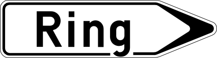
102. Signpost to ring road
This traffic sign indicates the direction to a ring road that routes traffic around a city or town. Follow the arrow to join the ring road.
Signal routier F33a • Signal de direction à distance : aéroport, hall de foire ou centre d’exposition, port, car-ferry, parc d’activités économiques, hôpital.
Verkeersbord F33a • Wegwijzer op afstand: luchthaven, beurs- of tentoonstellingshal, haven, car-ferry, zone met economische activiteiten, ziekenhuis.
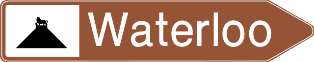
103. Signpost to river for tourists
This traffic sign indicates the direction to the named river or another tourist attraction associated with it. Follow the arrow to reach the destination.
Signal routier F33b • Signal de direction à distance : vallée ou cours d’eau touristique. La distance en kilomètres peut être indiquée sur le signal.
Verkeersbord F33b • Wegwijzer op afstand: vallei of waterloop van toeristische aard. De afstand in kilometer kan op de wegwijzer aangeduid zijn.
104. River
This traffic sign indicates the river or other watercourse being crossed. It is an information sign and does not impose a traffic rule.
Signal routier F44 • Cours d’eau.
Verkeersbord F44 • Waterloop.
105. Direction to a railway station
This traffic sign indicates the direction to a nearby railway station. Follow the arrow to reach the station serving the named location.
Signal routier F34a • Signal de direction à proximité d’équipements et établissements publics ou d’intérêt général, par exemple une gare de chemin de fer, un hôpital, un hôtel de ville ou maison communale, un bureau de poste.
Verkeersbord F34a • Wegwijzer in de nabijheid van inrichtingen en etablissementen die openbaar zijn of van algemeen belang, bijvoorbeeld een treinstation, een ziekenhuis, een stadhuis of gemeentehuis, een postkantoor.
106. Signpost to tourist location
This traffic sign indicates the direction to the named tourist attraction or place of interest. The symbol may identify the type of attraction or a well-known landmark.
Signal routier F33c • Signal de direction à distance : centre sportif ou stade ou hall omnisport, monument historique, ruines, monastère ou abbaye, parc culturel ou parc de loisirs ou parc d’attractions, monument ou site remarquable, parc naturel, point d’information touristique, point de vue.
Verkeersbord F33c • Wegwijzer op afstand: sportcentrum of stadium of omnisporthal, historisch monument, ruïnes, klooster of abdij, cultureel park of recreatie- of pretpark, monument of merkwaardig landschap, natuurpark, trefpunt voor toeristische informatie, uitkijkpunt.
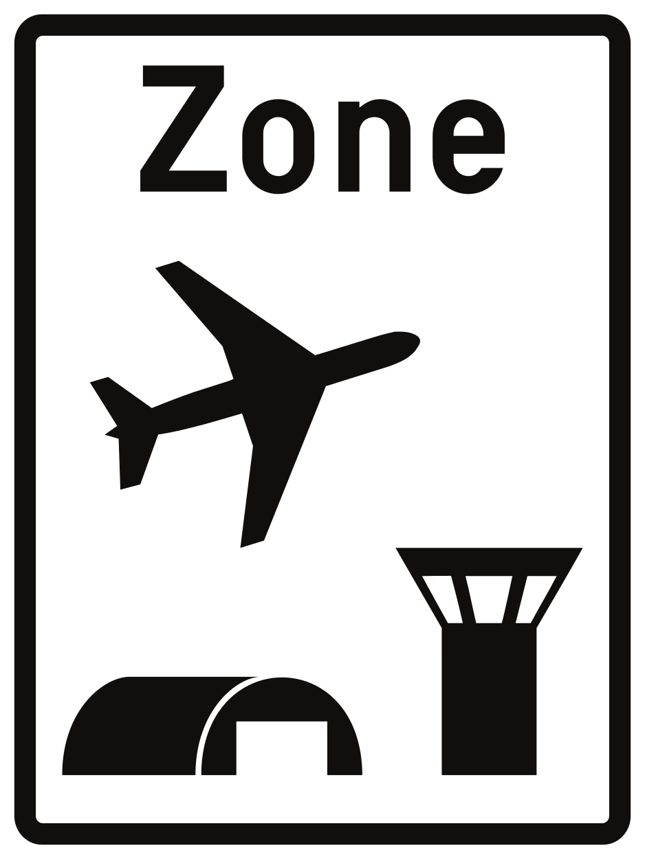
107. Start of airport zone
This traffic sign indicates the start of an airport zone. Special traffic rules or access conditions may apply within the zone. Follow the applicable traffic signs and any instructions given by authorised personnel.
Signal routier R21 • Début d’une zone aéroportuaire. La vitesse maximale qui s’y applique peut être indiquée à titre informatif sur le signal en bas à droite.
Verkeersbord R21 • Begin van een luchthavengebied. De maximale snelheid die er geldt, kan rechtsonder als aanwijzing op het verkeersbord aangeduid zijn.
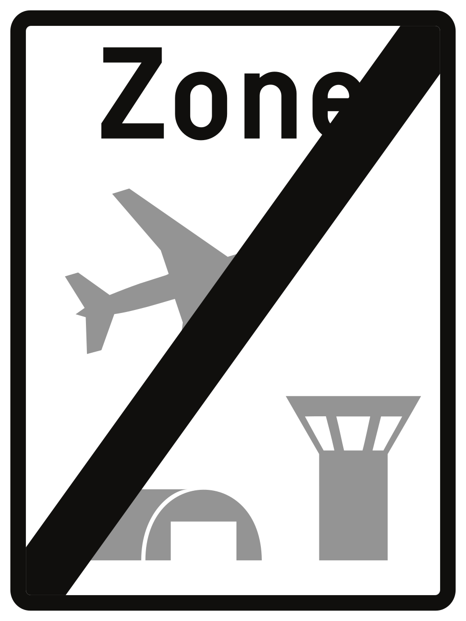
108. End of airport zone
This traffic sign indicates the end of the airport zone. Special rules associated with the airport zone end at this point. Other traffic rules or separately indicated restrictions may still apply.
Signal routier R23 • Fin d’une zone aéroportuaire.
Verkeersbord R23 • Einde van een luchthavengebied.
