

Information signsFlanders
 Traffic rules
 Flanders
 Priority signs
 Warning signs
 Prohibitory signs
 Mandatory signs
 Information signs
 Additional signs
Information signs
An information sign is a traffic sign that provides useful guidance or clarification to road users without imposing rules or warnings. These signs inform drivers about things like parking zones, directions, facilities, road layouts, or the start and end of built-up areas. Their purpose is to help drivers navigate confidently by giving clear, practical information that improves orientation, comfort, and overall traffic flow.
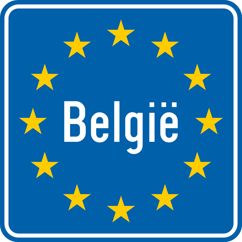

















1. Country border
This traffic sign indicates that you are crossing the national border and entering another country. The traffic rules of the country indicated apply from this point onward.
Verkeersbord F100 • Grens.
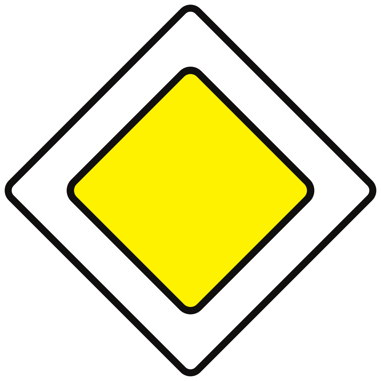
2. Start of a priority road
This traffic sign indicates the start of a priority road. Drivers on the priority road normally have priority over traffic entering from side roads until the priority road ends, unless traffic lights, other signs or applicable traffic rules indicate otherwise.
Verkeersbord B9 • Voorrangsweg.
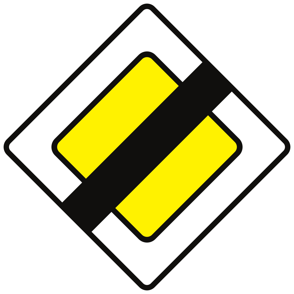
3. End of the priority road
This traffic sign indicates the end of the priority road. The road no longer has continuing priority at subsequent intersections. Follow the applicable traffic lights, priority signs and default priority rules.
Verkeersbord B11 • Einde van voorrangsweg.
4. Start of a built-up area
This traffic sign indicates the start of a built-up area. From this point, the traffic rules that apply to built-up areas take effect according to the applicable local regulations.
Verkeersbord R25 • Begin van een bebouwde kom. De naam van de bebouwde kom kan, bovenaan in het midden, op het verkeersbord aangeduid zijn. De maximale snelheid die er geldt, kan rechtsonder als aanwijzing op het verkeersbord aangeduid zijn.
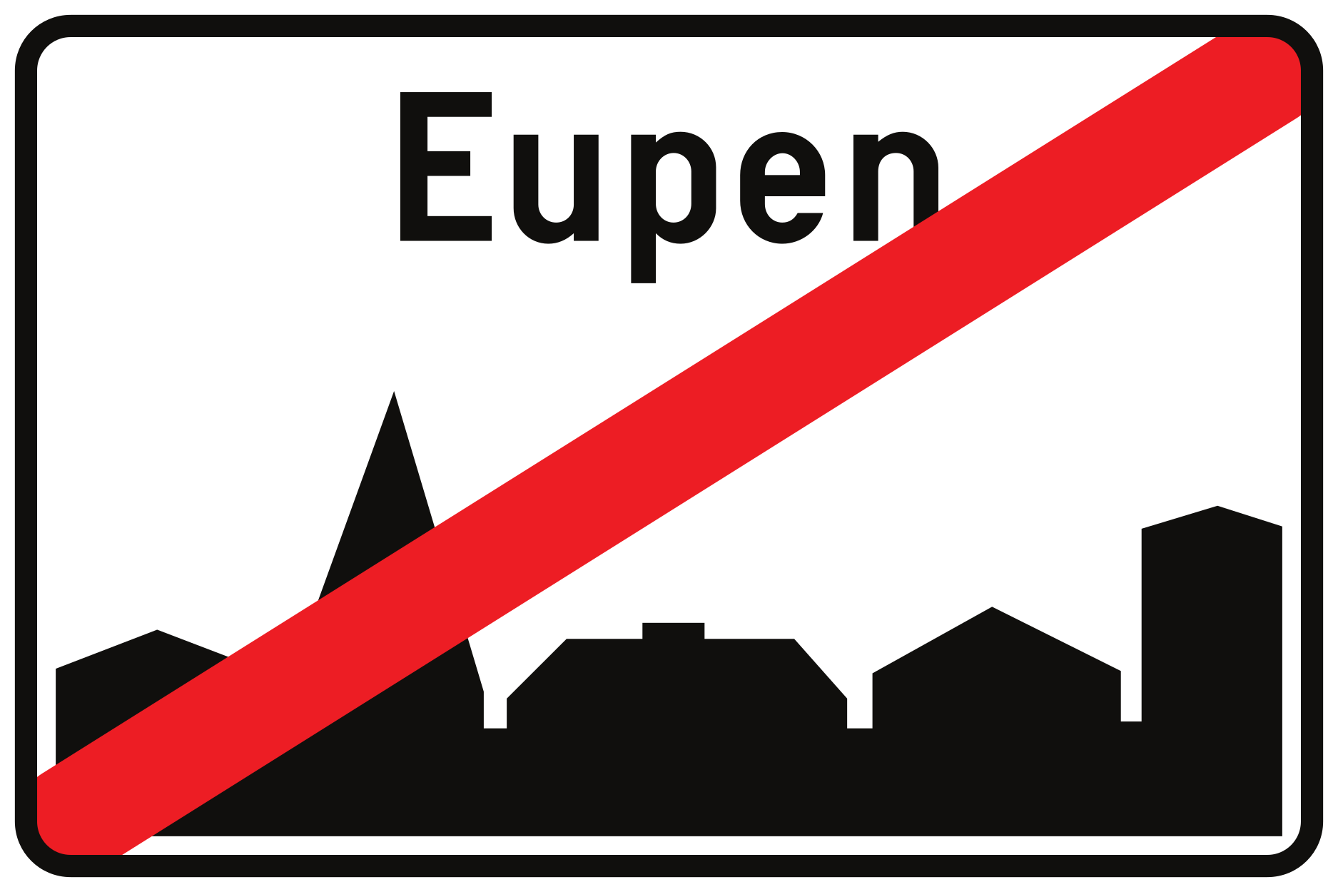
5. End of the built-up area
This traffic sign indicates the end of the built-up area. The traffic rules specifically associated with the built-up area cease to apply from this point according to the applicable local regulations.
Verkeersbord R27 • Einde van een bebouwde kom.
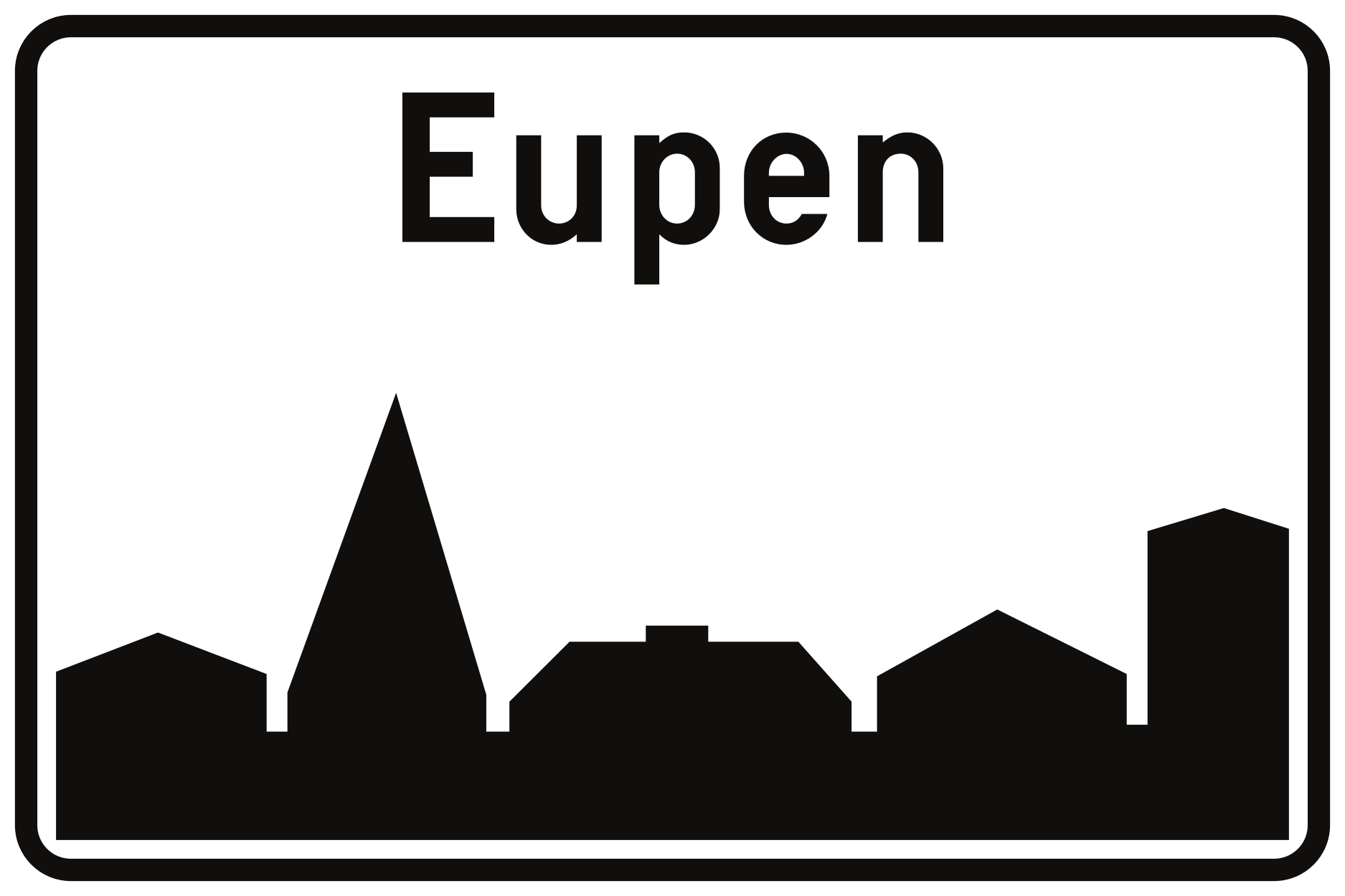
6. City limit
This traffic sign indicates a city or town limit. It marks the boundary or entrance of the named locality. Any traffic rules associated with the boundary depend on the applicable local regulations.
Verkeersbord F43 • Plaatsnaambord.
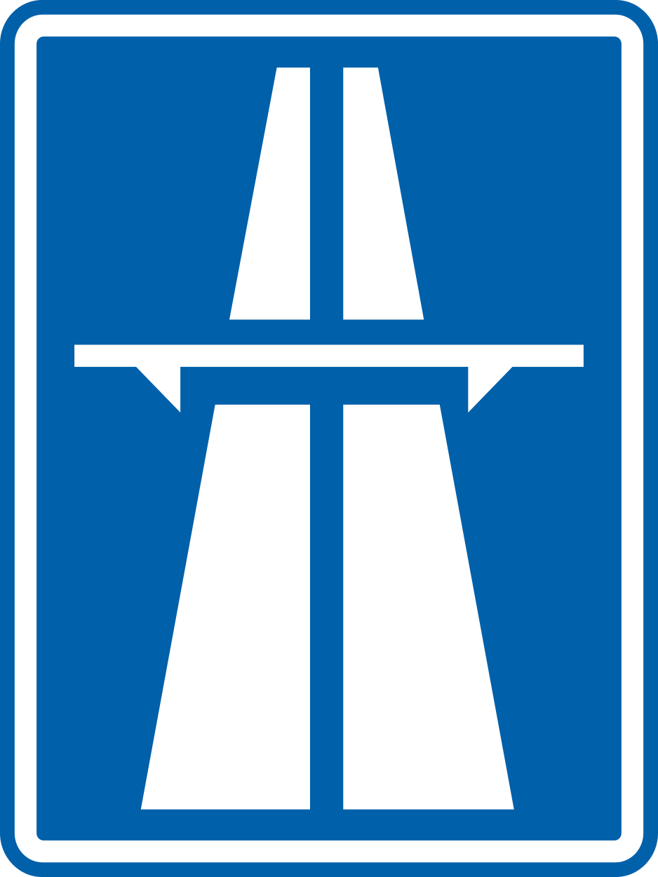
7. Start of a motorway
This traffic sign indicates the start of a motorway. From this point, special motorway rules apply, including restrictions on which road users may enter and on stopping, reversing and other manoeuvres. Follow the applicable speed limits, lane rules and local motorway regulations.
Verkeersbord R29 • Begin van een autosnelweg.
8. End of the motorway
This traffic sign indicates the end of the motorway. The special motorway rules end at this point. Follow the speed limits, access rules and other traffic signs that apply to the road ahead.
Verkeersbord R31 • Einde van een autosnelweg.
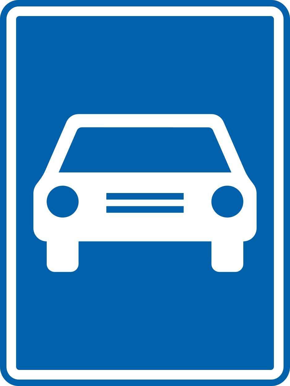
9. Start of an expressway
This traffic sign indicates the start of an expressway. From this point, the traffic rules and access conditions that apply to expressways take effect according to the applicable local regulations.
Verkeersbord R33 • Begin van een autoweg. De bijzondere voorschriften gelden tot het volgend kruispunt.
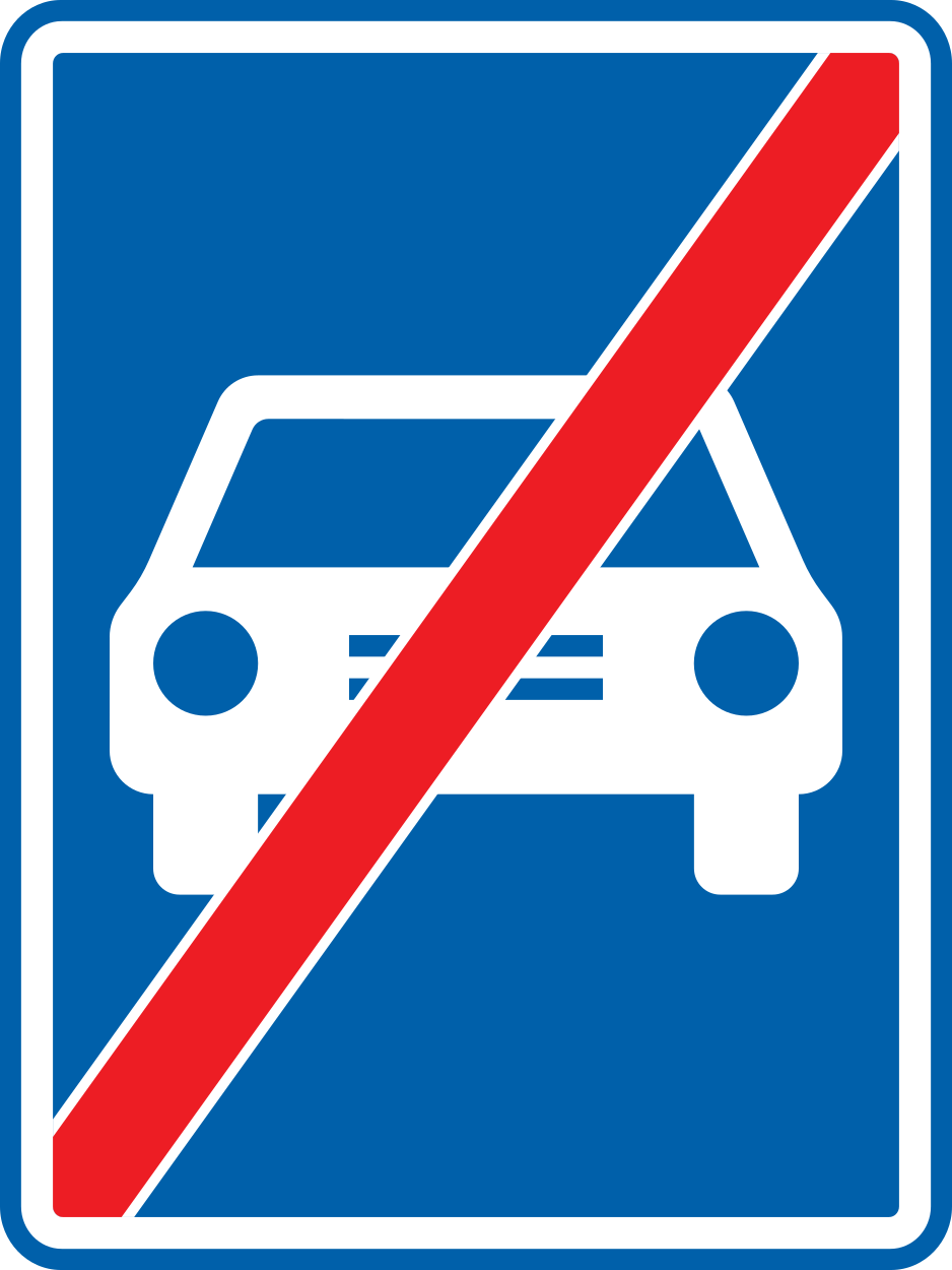
10. End of the expressway
This traffic sign indicates the end of the expressway. The special traffic rules associated with the expressway end at this point. Follow the rules and traffic signs that apply to the road ahead.
Verkeersbord R35 • Einde van een autoweg.
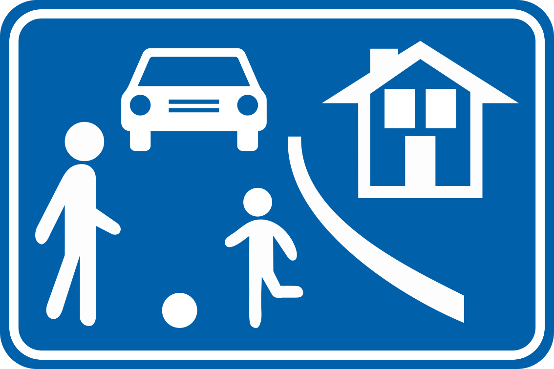
11. Start of a residential area
This traffic sign indicates the start of a residential area. Special traffic rules apply within the area according to the applicable signs and local regulations. These rules may affect speed, parking and how different road users use the road.
Verkeersbord R5 • Begin van een erf. De maximale snelheid die er geldt, kan rechtsonder als aanwijzing op het verkeersbord aangeduid zijn.
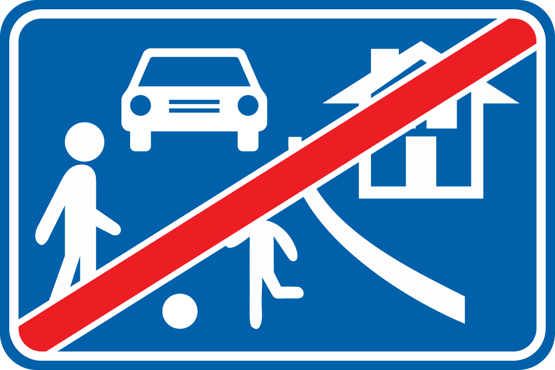
12. End of the residential area
This traffic sign indicates the end of the residential area. The special traffic rules associated with the residential area end at this point. Follow the traffic signs and rules that apply beyond the area.
Verkeersbord R7 • Einde van een erf.
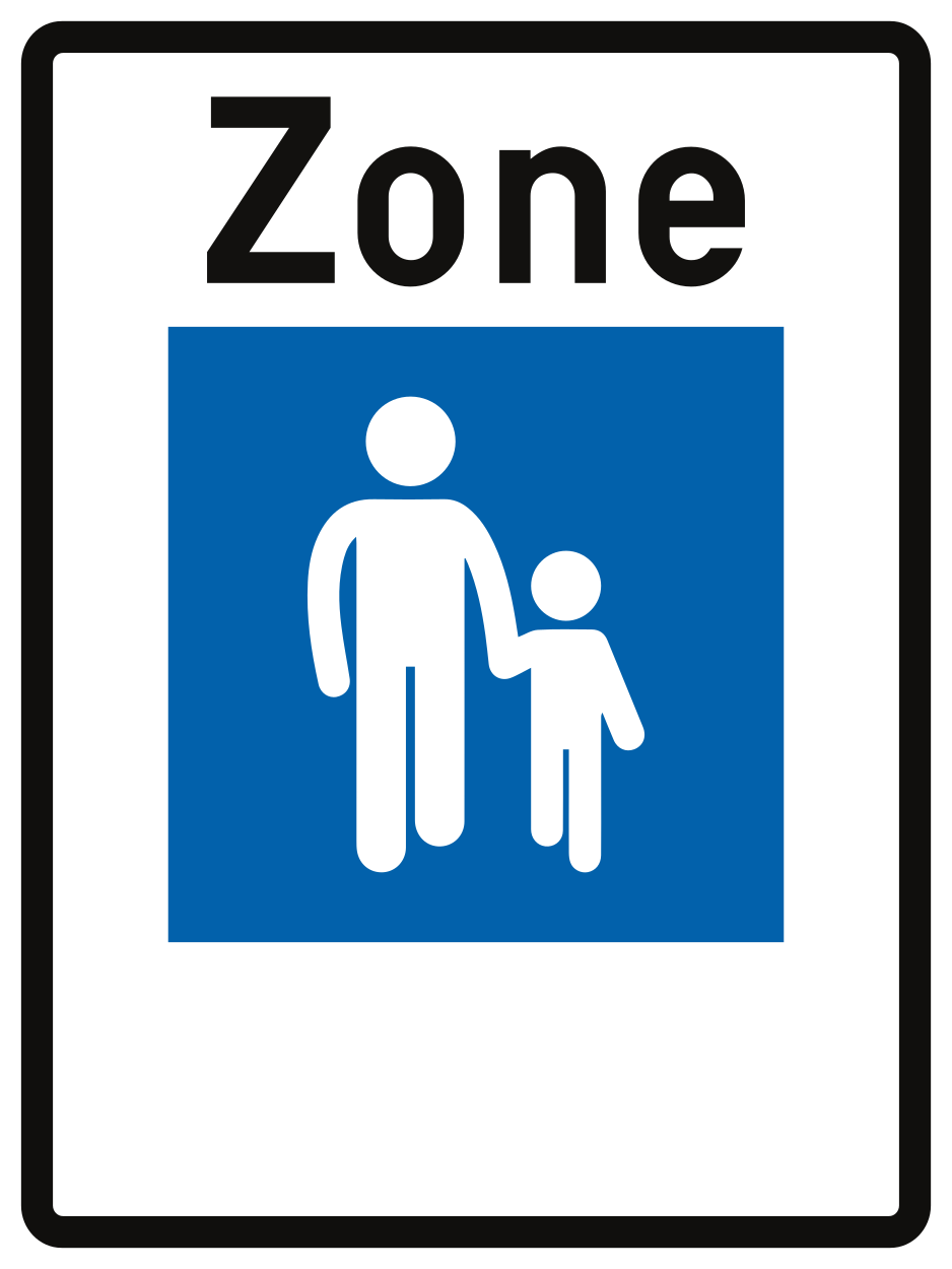
13. Start of a zone for pedestrians
This traffic sign indicates the start of a pedestrian zone. Pedestrians are the principal road users within the zone, while access by vehicles and other road users is subject to the applicable traffic signs and local rules.
Verkeersbord R14 • Begin van een voetgangerszone. De maximale snelheid die er geldt, kan rechtsonder als aanwijzing op het verkeersbord aangeduid zijn.
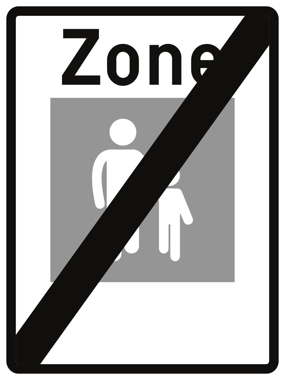
14. End of the zone for pedestrians
This traffic sign indicates the end of the pedestrian zone. The special traffic rules associated with the pedestrian zone end at this point. Follow the traffic signs and rules that apply beyond the zone.
Verkeersbord R15 • Einde van een voetgangerszone.
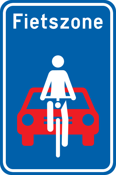
15. Start of a zone for cyclists
This traffic sign indicates the start of a zone for cyclists. Special traffic rules apply throughout the zone according to the applicable signs and local regulations.
Verkeersbord R17 • Begin van een fietszone. De vermelding “Fietszone” kan bovenaan op het verkeersbord aangeduid zijn. De maximale snelheid die er geldt, kan rechtsonder als aanwijzing op het verkeersbord aangeduid zijn.
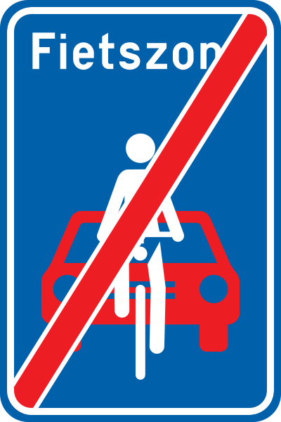
16. End of the zone for cyclists
This traffic sign indicates the end of the zone for cyclists. The special rules associated with the cyclist zone end at this point. Other traffic rules or restrictions may still apply.
Verkeersbord R19 • Einde van een fietszone.
17. Start of an optional cycle path
This traffic sign indicates the start of an optional cycle path. Cyclists may use the designated path but are not required by this sign itself to do so. Any additional access rules depend on the applicable local regulations.
Verkeersbord R12 • Begin van een niet verplicht fietspad. De bijzondere voorschriften gelden tot en met het volgend kruispunt.
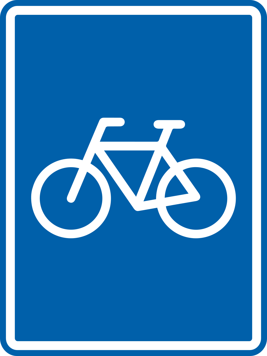
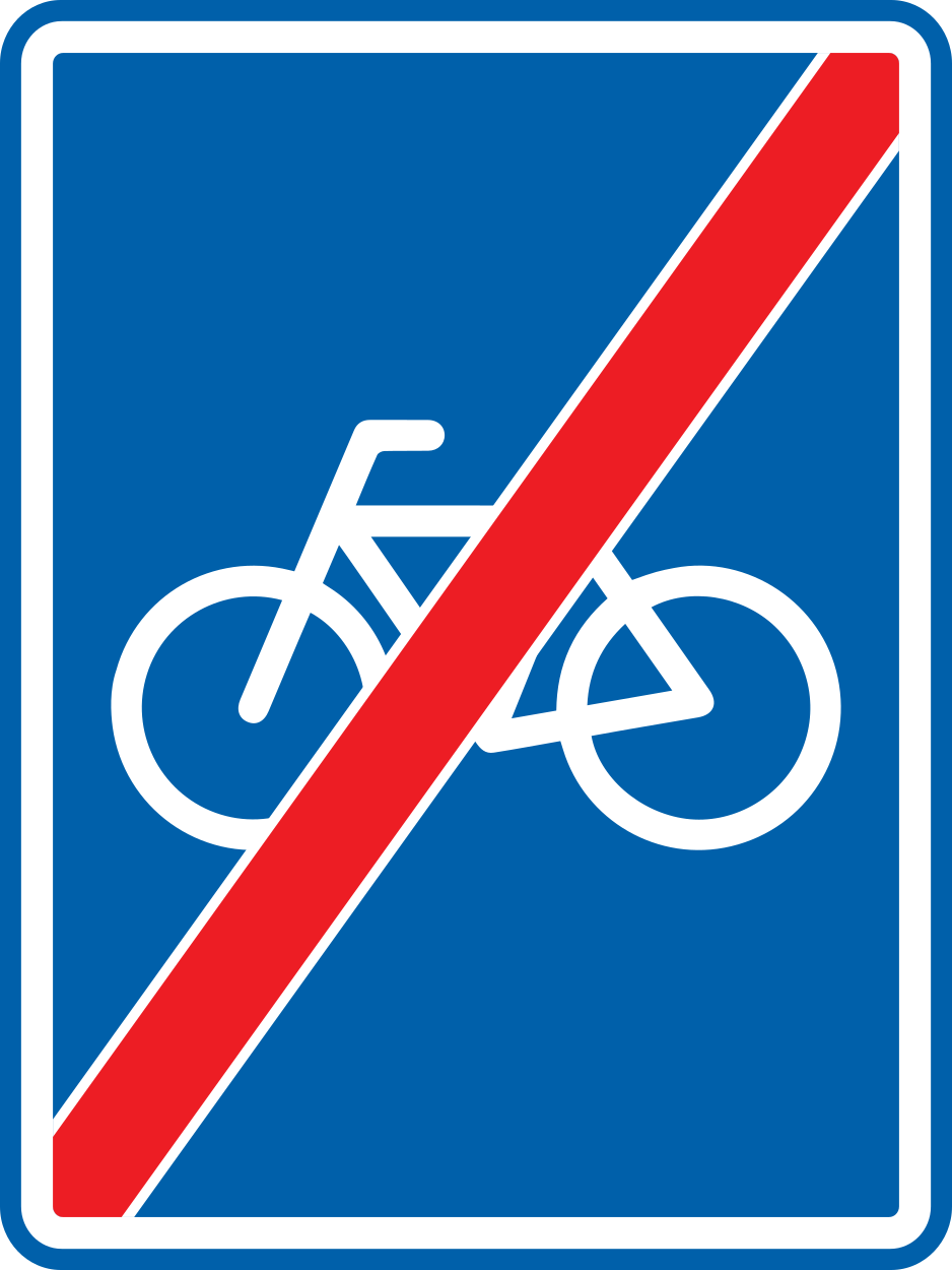
18. End of an optional cycle path
This traffic sign indicates the end of an optional cycle path. The designated optional cycle path ends at this point. Cyclists should continue according to the road layout, signs and traffic rules that apply beyond it.
Verkeersbord R13 • Einde van een niet verplicht fietspad.
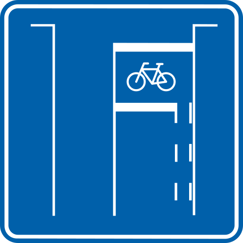
19. Bike box
This traffic sign indicates a bike box. A bike box, also called an advanced stop area, is a marked space at a signal-controlled junction where cyclists may position themselves ahead of other traffic when the applicable signal requires them to stop.
Verkeersbord F14 • Opstelvak voorbehouden voor fietsers en bestuurders van tweewielige bromfietsen.
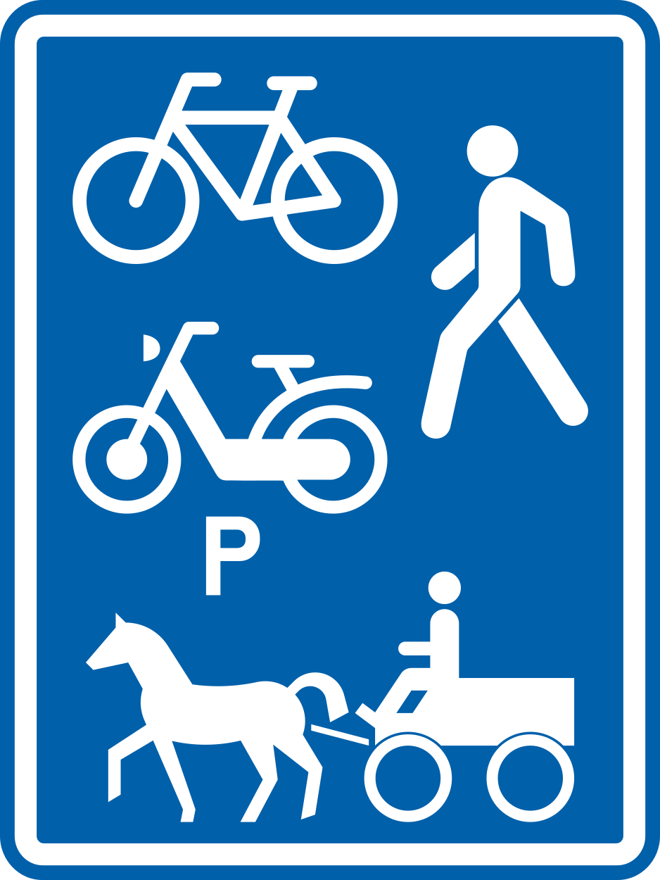
20. Reserved road for the indicated road users
This traffic sign indicates the start of a road reserved for the indicated road users. The symbols on the sign show which road-user categories may use the road. Other road users may enter only where an applicable exemption or local rule permits it.
Verkeersbord R9 • Begin van een weg of van wegen voorbehouden voor het verkeer van de aangeduide weggebruikers (voorbeelden). Het verkeersbord kan aangepast zijn volgens de categorieën van weggebruikers. Op dit bord zijn ten minste 2 categorieën van weggebruikers aangeduid. De maximale snelheid die er geldt, kan als aanwijzing rechtsonder op het verkeersbord aangeduid zijn.
21. End of reserved road
This traffic sign indicates the end of a road reserved for indicated road users. The special rules associated with the reserved road end at this point. Follow the traffic signs, road markings and rules that apply beyond it.
Verkeersbord R11 • Einde van een weg of van wegen voorbehouden voor het verkeer van de aangeduide weggebruikers (voorbeelden).
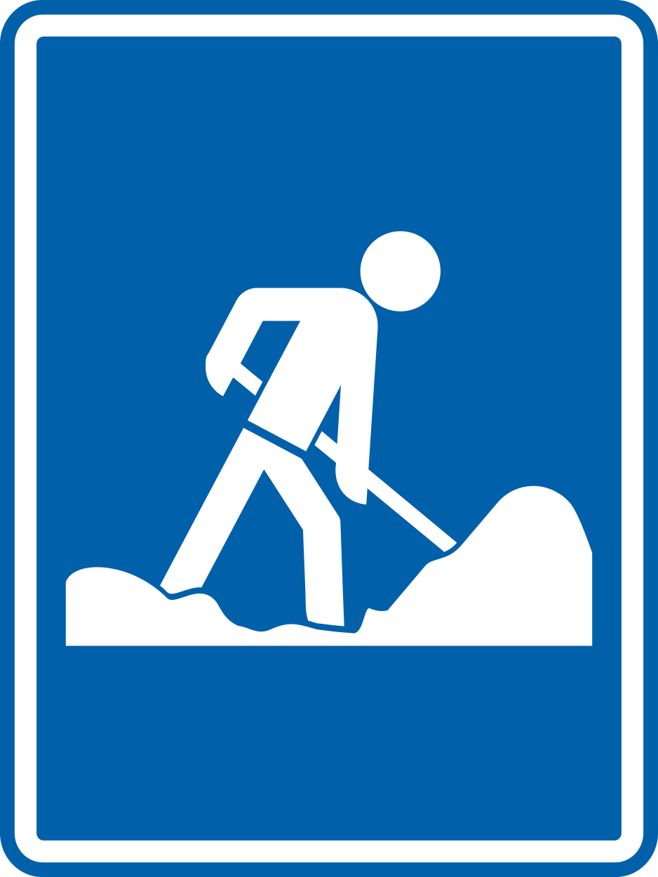
22. Start of roadworks
This traffic sign indicates the beginning of an area where roadworks are taking place. Temporary traffic signs, road markings, lane arrangements or speed limits may apply. Reduce speed, follow the temporary directions and watch for workers, machinery and uneven road surfaces.
Verkeersbord R37 • Begin van de werken.
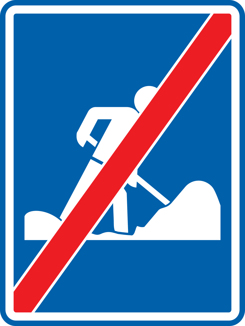
23. End of roadworks
This traffic sign indicates the end of the roadworks area. Continue according to the normal road layout and traffic rules, but keep following any temporary restrictions that have not been separately ended or replaced by another sign.
Verkeersbord R39 • Einde van de werken.
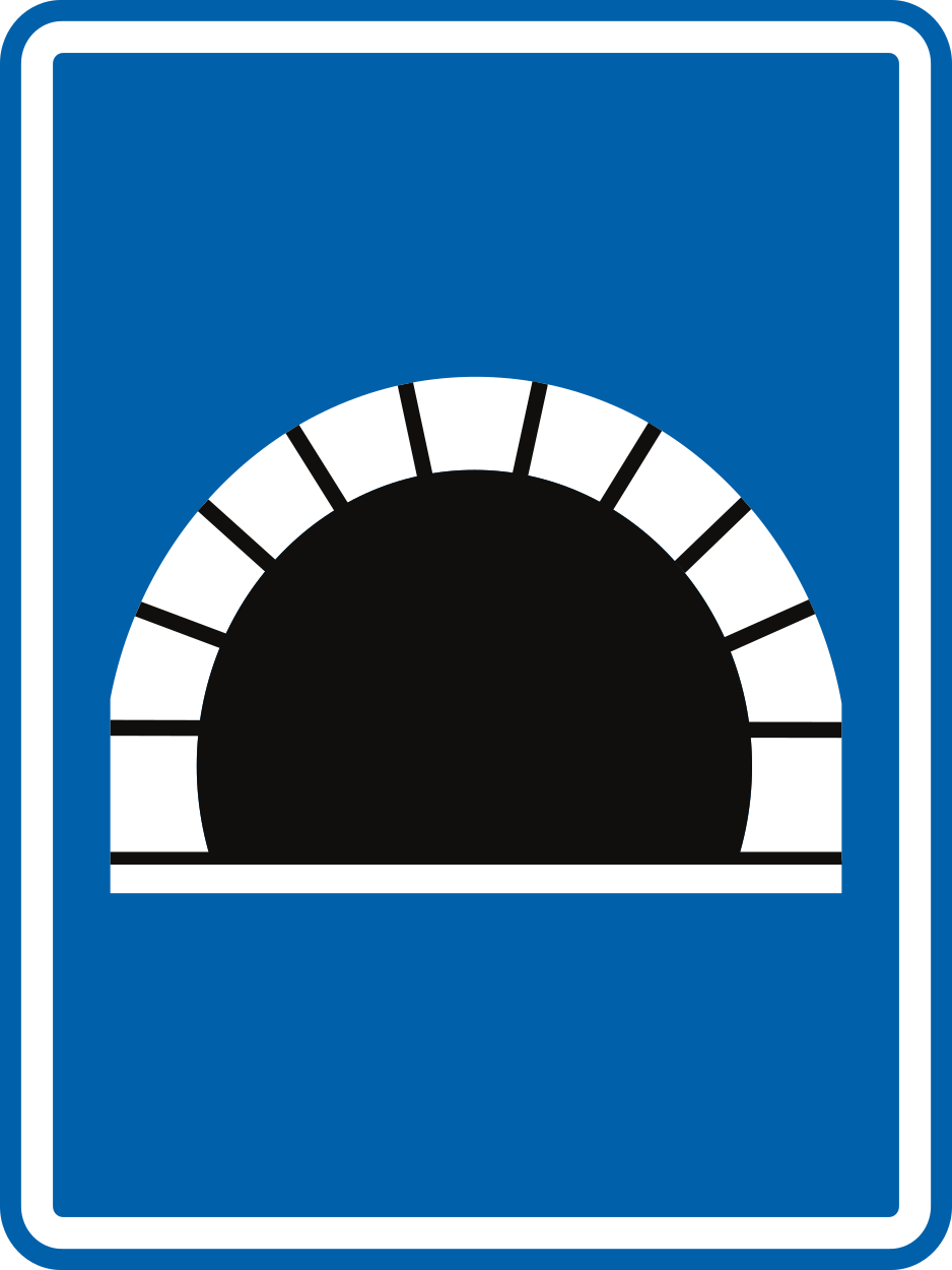
24. Start of a tunnel
This traffic sign indicates the start of a tunnel. Special traffic rules may apply within the tunnel, including requirements concerning vehicle lighting, speed or following distance. Follow the applicable signs and local rules.
Verkeersbord F8 • Tunnel.
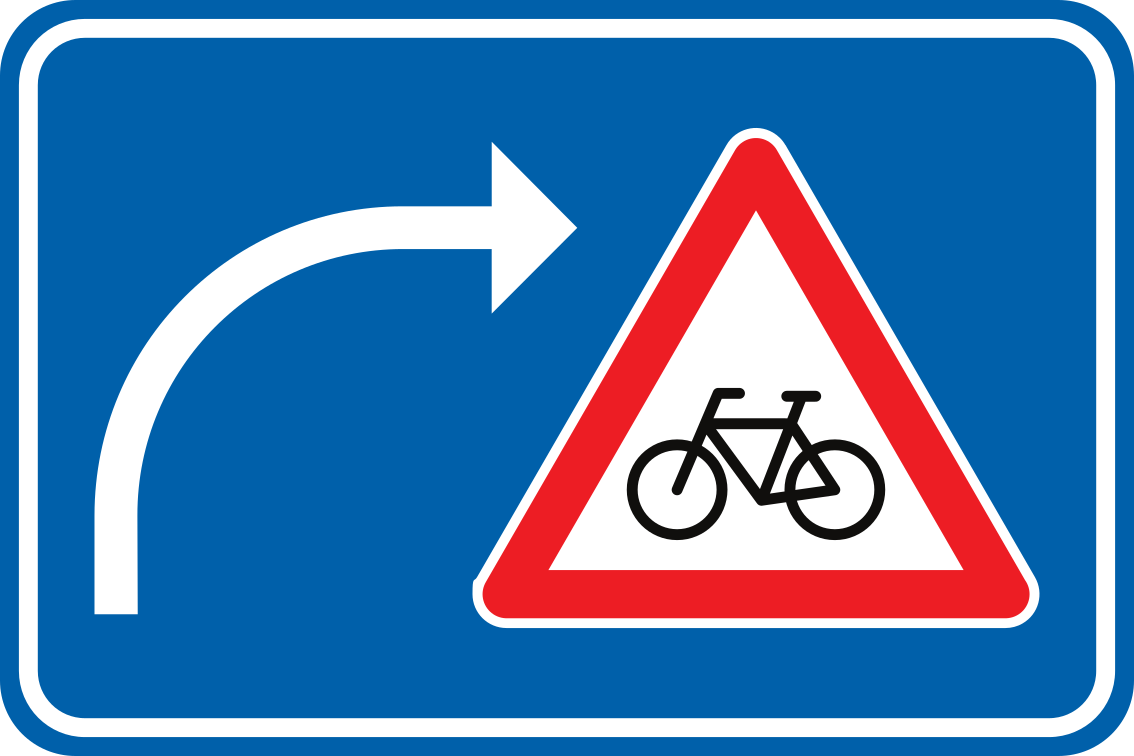
25. Warning for cyclists when turning right
This traffic sign warns drivers turning right that cyclists may cross their path. Check carefully for cyclists before and during the turn, reduce speed and give way when required.
Verkeersbord F50 • Verkeersbord dat de bestuurders die van richting veranderen, wijst op een gevaar. Het symbool op het gevaarsbord kan aangepast zijn in functie van de plaatsgesteldheid.
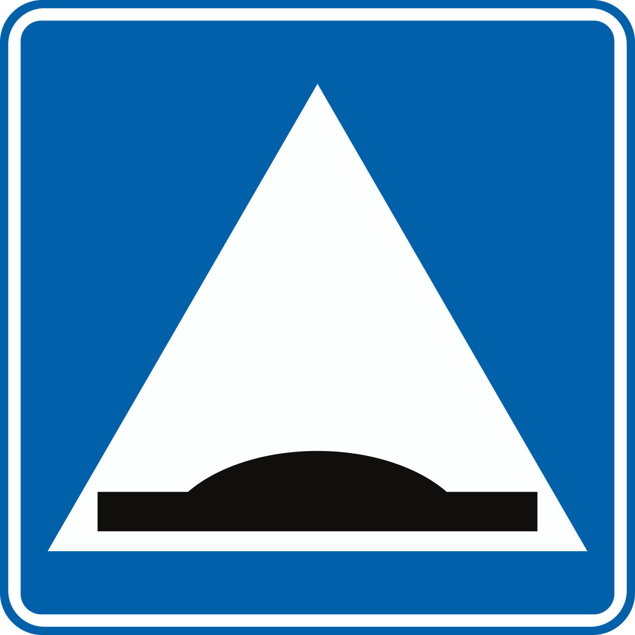
26. Speed bump
This traffic sign indicates a speed bump. A speed bump is a raised section of the roadway designed to reduce vehicle speeds.
Verkeersbord F87 • Verhoogde inrichting.
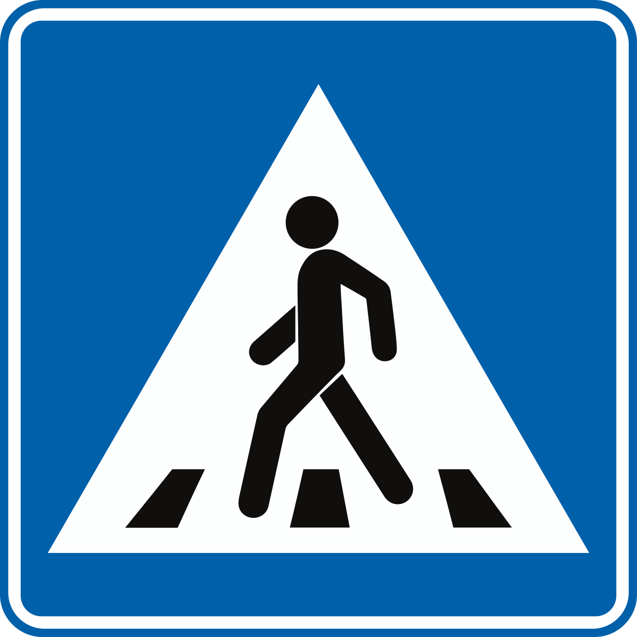
27. Crossing for pedestrians
This traffic sign indicates a crossing for pedestrians. It marks a designated place where pedestrians cross the road. Priority and crossing rules depend on the applicable traffic signs, signals and local regulations.
Verkeersbord F48 • Oversteekplaats voor voetgangers.
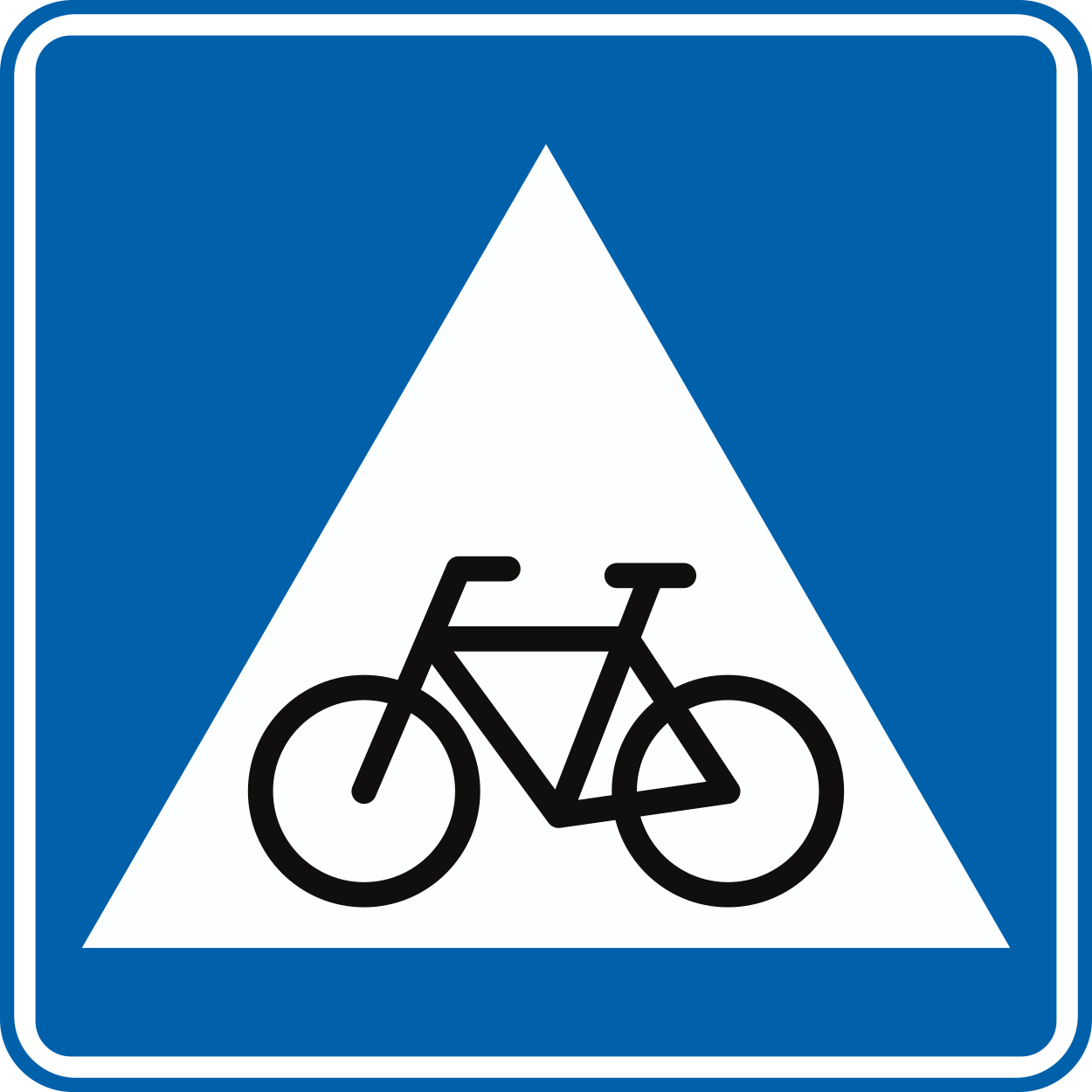
28. Crossing for cyclists
This traffic sign indicates a crossing for cyclists. It marks a designated place where cyclists cross the road. Priority depends on the applicable traffic signs, signals and local rules.
Verkeersbord F49 • Oversteekplaats voor fietsers en bestuurders van tweewielige bromfietsen.
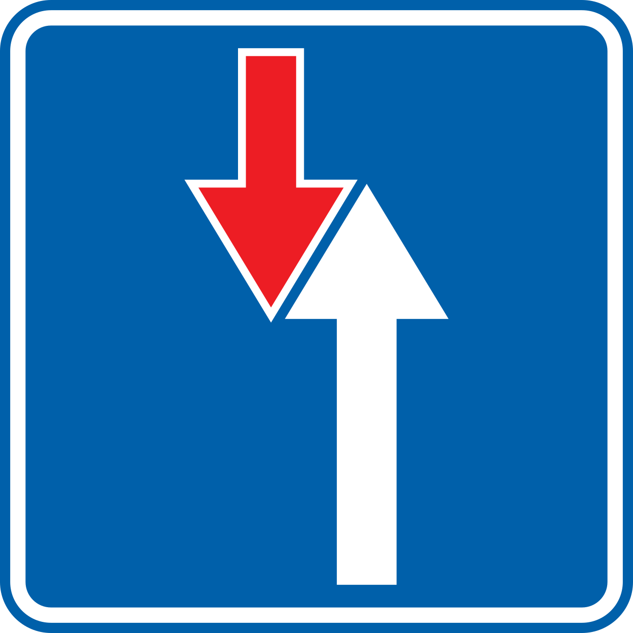
29. Road narrowing, oncoming drivers have to give way
This traffic sign indicates a road narrowing where oncoming drivers have to give way.
Verkeersbord B21 • Smalle doorgang. Voorrang ten opzichte van de bestuurders die uit de tegenovergestelde richting komen.
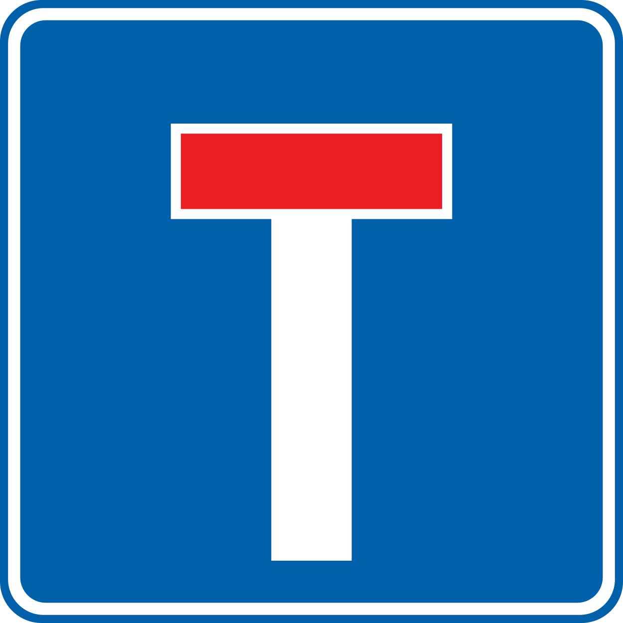
30. Dead end street
This traffic sign indicates a dead end street. The road has no through route for vehicles, although access to properties or other destinations along the road may still be possible.
Verkeersbord F45a • Doodlopende weg. Het symbool kan aangepast zijn in functie van de plaatsgesteldheid.
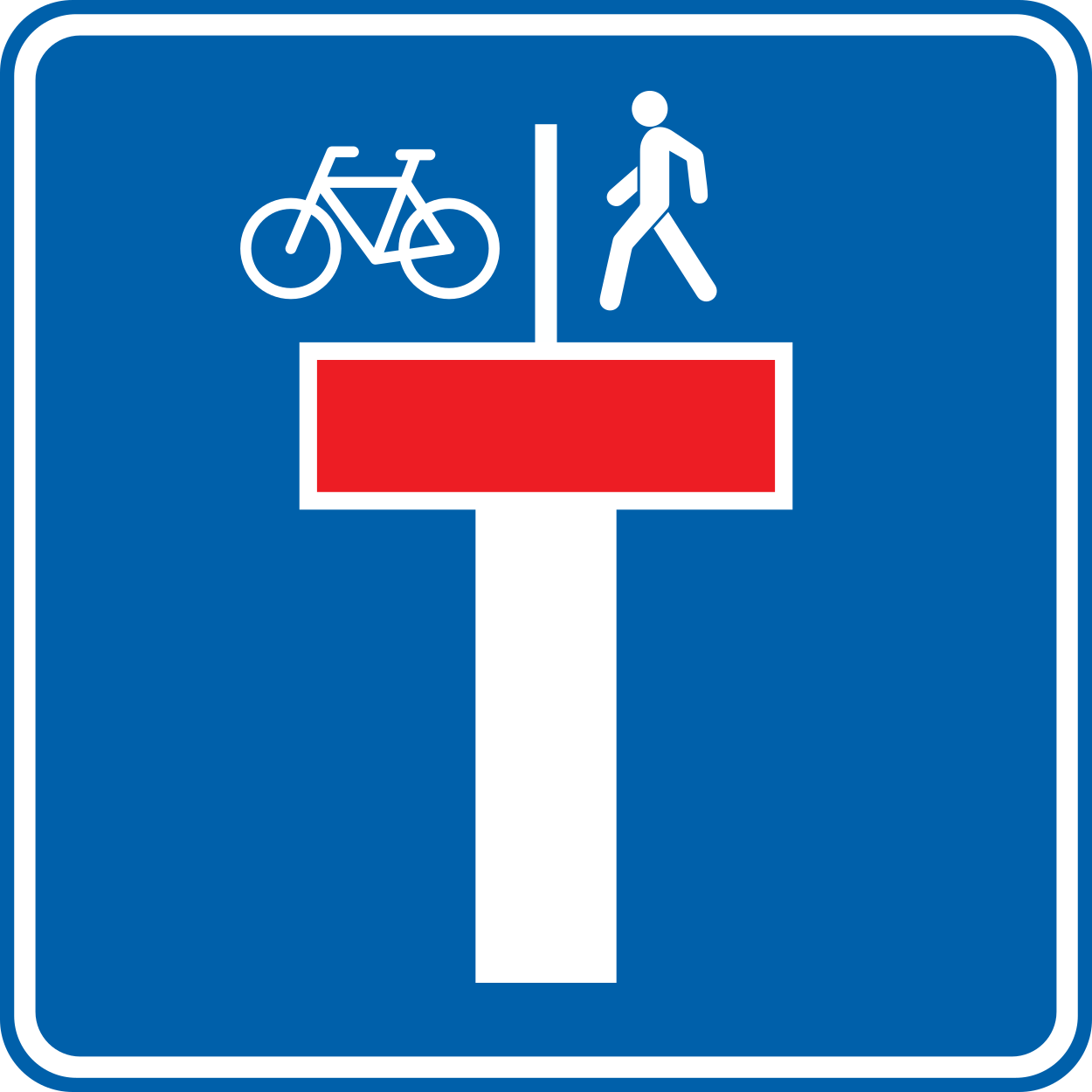
31. Dead end street with a passage for pedestrians and cyclists
This traffic sign indicates a dead end street with a passage for pedestrians and cyclists. The road has no through route for motor vehicles, but pedestrians and cyclists can continue beyond the dead end.
Verkeersbord F45b • Doodlopende weg, uitgezonderd voor fietsers en voetgangers. Het symbool kan aangepast zijn in functie van de plaatsgesteldheid.
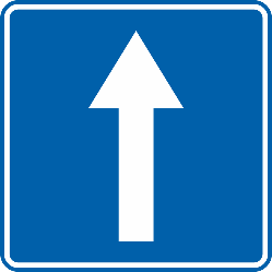
32. Road with one-way traffic
This traffic sign indicates a road with one-way traffic. Vehicular traffic may travel only in the permitted direction, subject to any exceptions indicated by traffic signs or local rules.
Verkeersbord F19 • Openbare weg met éénrichtingsverkeer.
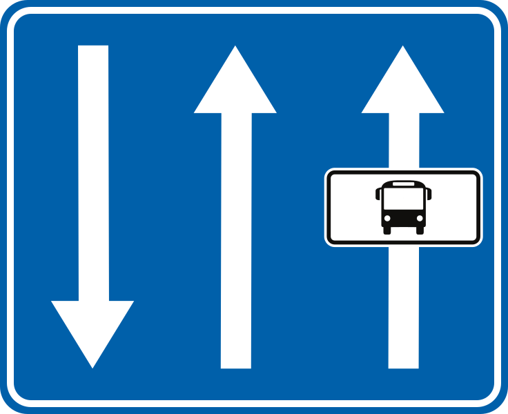
33. Lane for buses
This traffic sign indicates a lane for buses. The lane is intended for buses and any other road users permitted by the applicable signs or local rules.
Verkeersbord F17 • Busbaan. De pijlen op het verkeersbord geven de rijrichting aan op het betrokken weggedeelte. Dit verkeersbord kan ook de rijstrookmarkeringen weergeven. Naargelang het geval zijn deze wegmarkeringen doorlopend, onderbroken of beide.
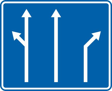
34. Overview of the lanes and their direction
This traffic sign gives an overview of the lanes and their direction. The arrows or other indications show how the lanes continue and which directions or destinations they serve.
Verkeersbord F13 • Verkeersbord dat de voorsorteringspijlen op de rijbaan aankondigt. Dit verkeersbord kan ook de rijstrookmarkeringen weergeven. Dit verkeersbord kan de verschillende richtingen aanduiden. De bestuurder moet afhankelijk van de richting die hij volgt, de aanwijzingen volgen.
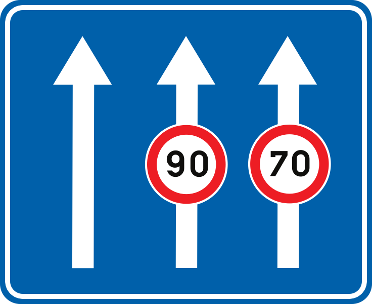
35. Maximum speed of a lane
This traffic sign indicates the maximum speed for the indicated lane. Vehicles using that lane must not exceed the displayed speed limit while the restriction applies.
Verkeersbord F91 • Verkeersbord dat een gevaar, een verbod of een gebod aanduidt dat slechts van toepassing is op een deel van de openbare weg of op één of meerdere rijstroken van een rijbaan die meerdere rijstroken in dezelfde richting omvat.
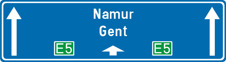
36. General information about the directions
This traffic sign gives general information about road directions. The arrows, destinations and route information show which direction to follow.
Verkeersbord F15 • Verkeersbord dat de keuze van een richting voorschrijft. Neerwaarts of opwaarts gerichte pijlen hebben betrekking op doorgaande richtingen. Schuine pijlen hebben betrekking op afslaande richtingen. Het aantal pijlen vertegenwoordigt het aantal rijstroken. De bestuurder moet afhankelijk van de richting die hij volgt, de aanwijzingen volgen.
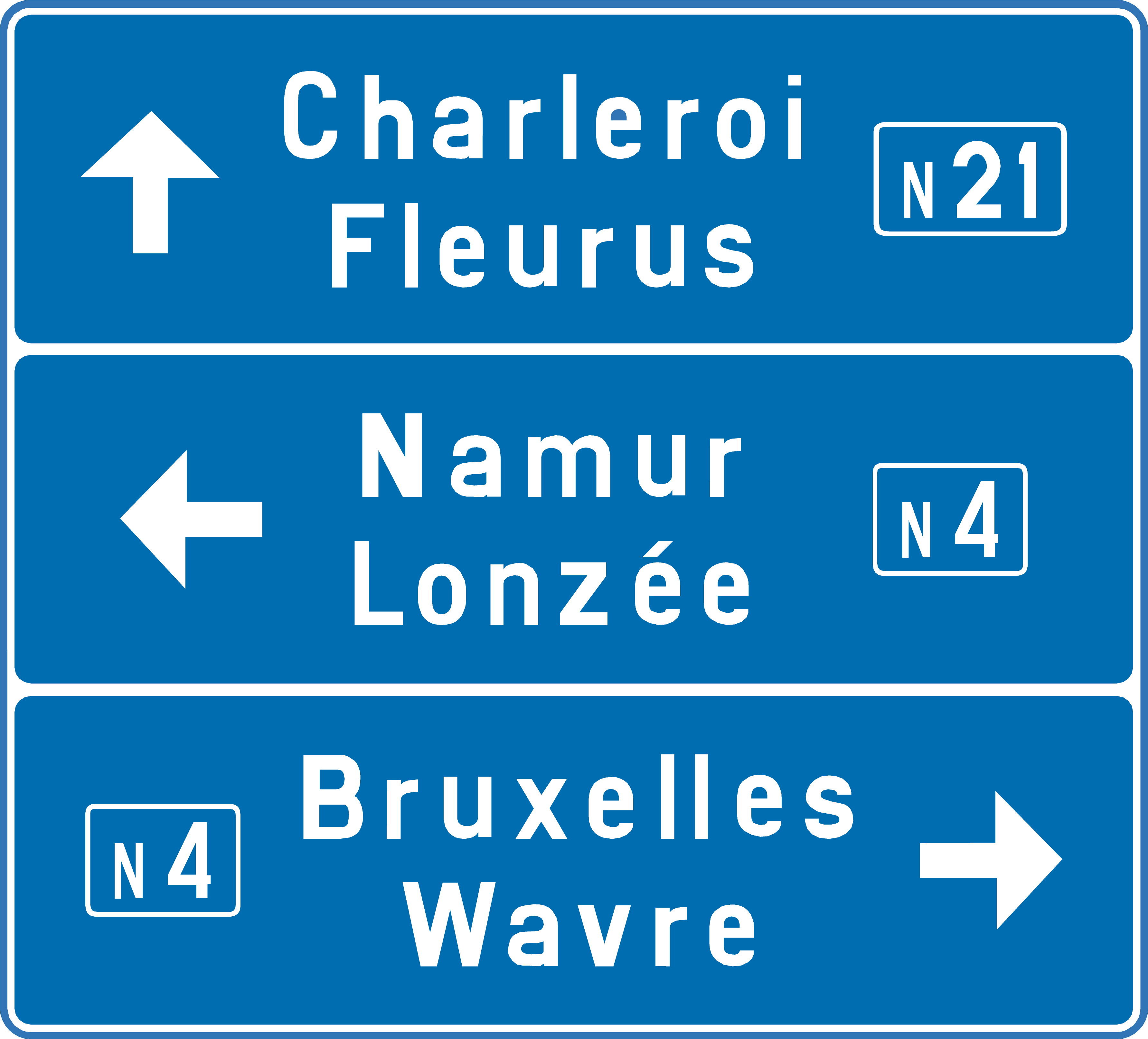
37. Junction directions and destinations
This traffic sign shows the junction directions and destinations. The destinations are listed with arrows showing which direction to follow.
Verkeersbord F27 • Voorwegwijzer.
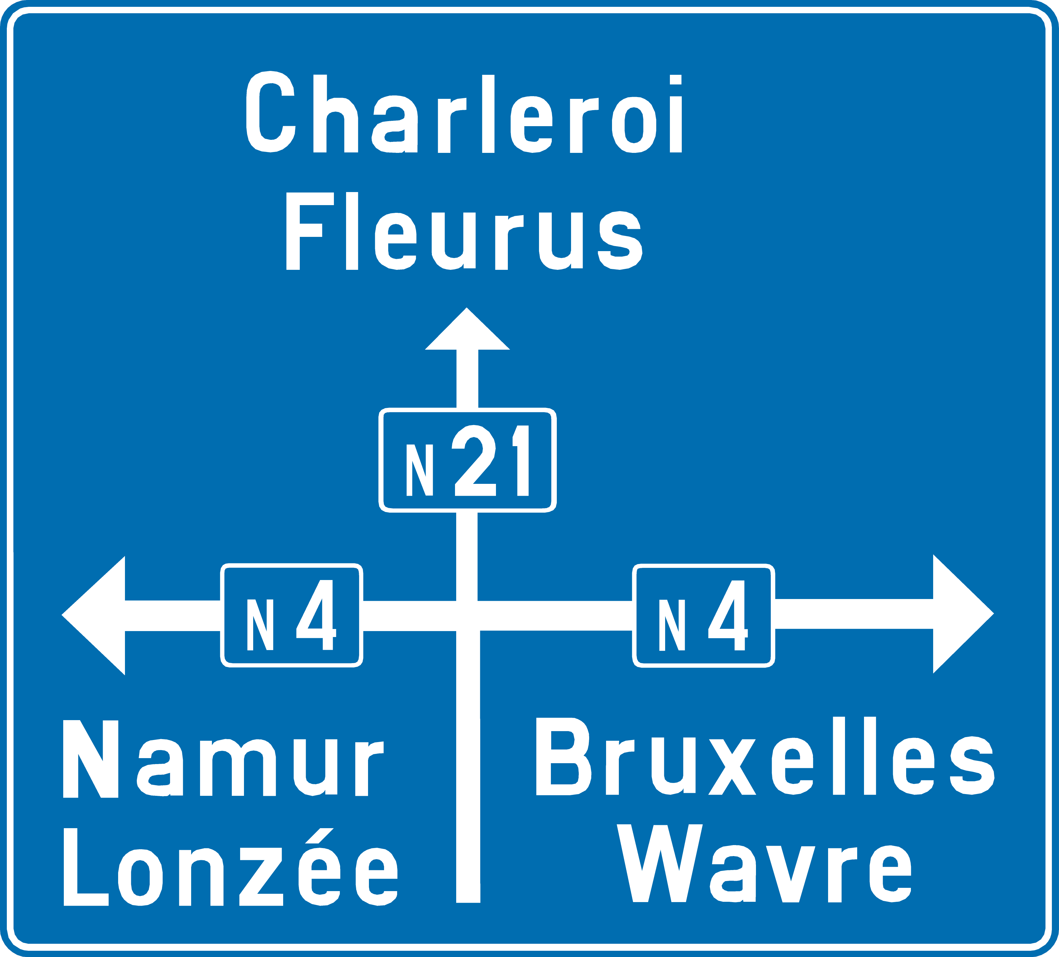
38. Junction layout, directions and destinations
This traffic sign shows the junction layout, directions and destinations. The diagram shows how the roads are arranged and which direction leads to each indicated destination or route.
Verkeersbord F25 • Voorwegwijzer.
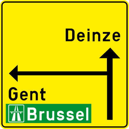
39. Detour directions at the intersection
This traffic sign indicates a detour and shows the temporary directions to destinations at the upcoming intersection. Follow the indicated arrows to continue along the detour.
Verkeersbord F39 • Voorwegwijzer die een omleiding aankondigt.
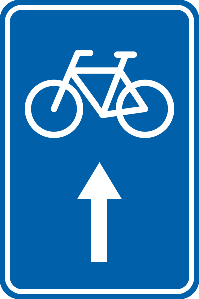
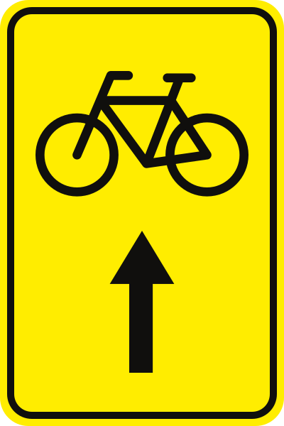
40. Direction of the route for cyclists
This traffic sign indicates the direction of a recommended or designated route for cyclists. Follow the arrow to remain on the cycle route.
Verkeersbord F36 • Wegwijzer die fietsers of voetgangers geleidt naar een deel van de openbare weg.
41. Detour for cyclists
This traffic sign indicates the direction of a temporary detour intended for cyclists. Follow the arrow and any subsequent detour signs until you can return to the normal route.
Verkeersbord F41 • Wegwijzer. Omleiding. “Omleiding” kan vervangen zijn door de naam van de bestemming.
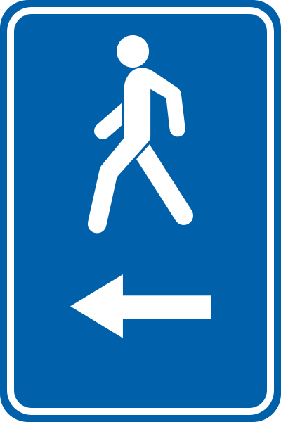
42. Direction of the route for pedestrians
This traffic sign indicates the direction of a recommended or designated route for pedestrians. Follow the arrow to remain on the pedestrian route.
Verkeersbord F36 • Wegwijzer die fietsers of voetgangers geleidt naar een deel van de openbare weg.
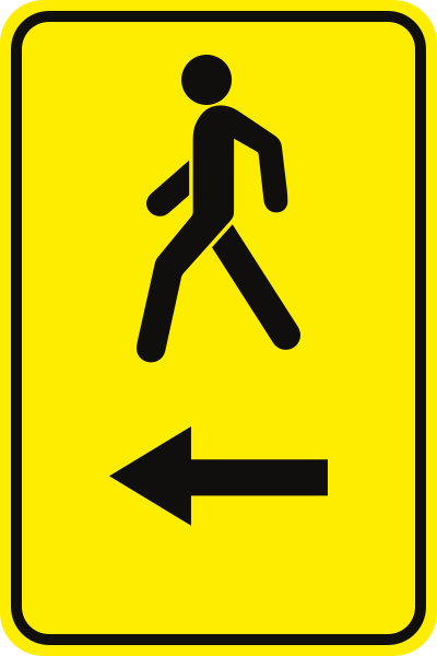
43. Detour for pedestrians
This traffic sign indicates the direction of a temporary detour intended for pedestrians. Follow the arrow and any subsequent detour signs until you can return to the normal pedestrian route.
Verkeersbord F41 • Wegwijzer. Omleiding. “Omleiding” kan vervangen zijn door de naam van de bestemming.
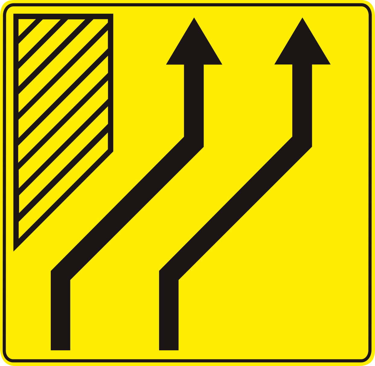
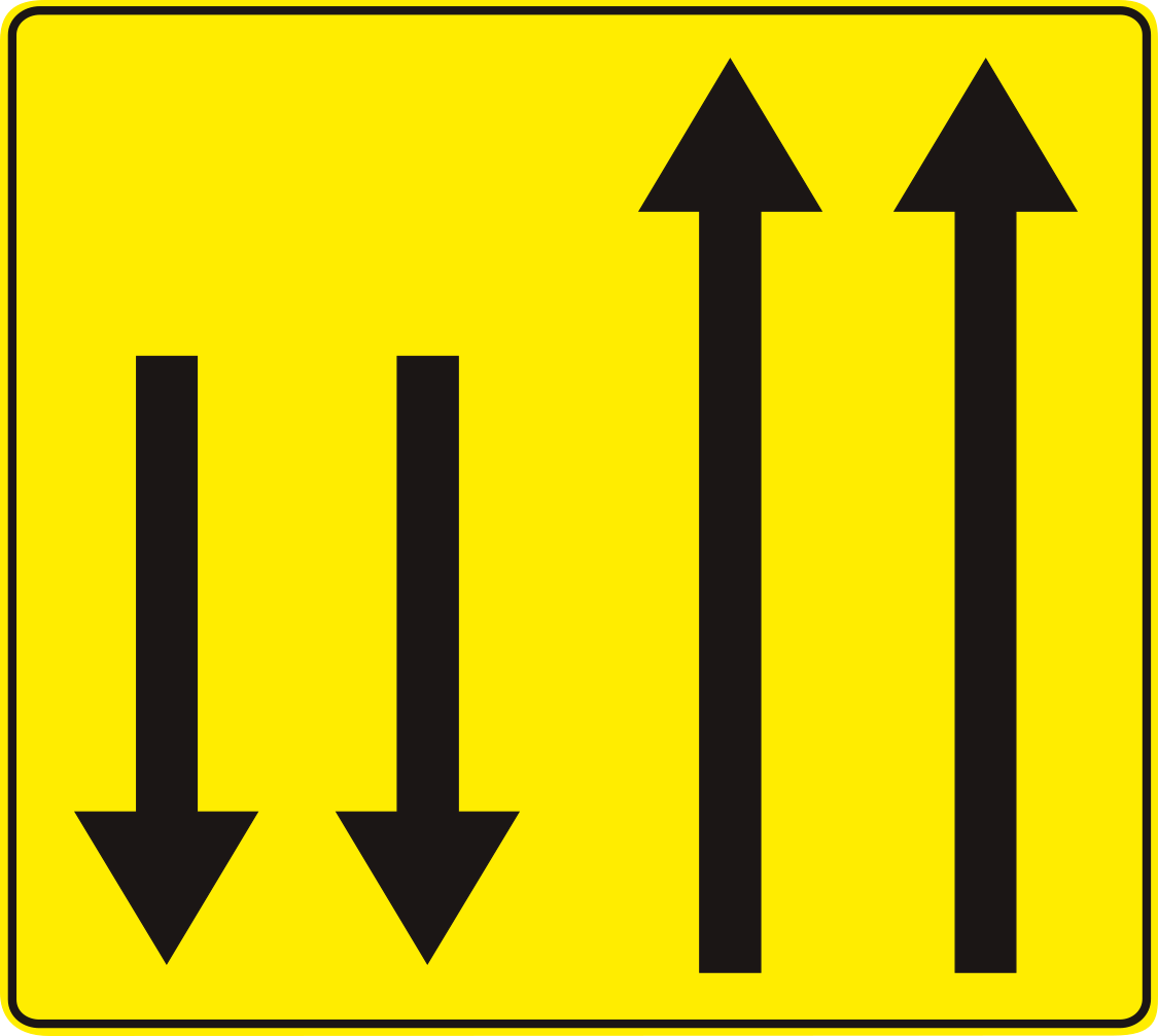
44. Diversion of lanes
This traffic sign indicates that the traffic lanes shift sideways to pass an obstruction or changed road layout. Follow the direction shown by the arrows, stay within your lane and adjust your position in good time. The number of arrows corresponds to the number of continuing traffic lanes.
Verkeersbord F96 • Verkeersbord dat een uitwijking aankondigt. Het aantal pijlen stemt overeen met het werkelijk aantal rijstroken. Het symbool stemt overeen met de plaatsgesteldheid.
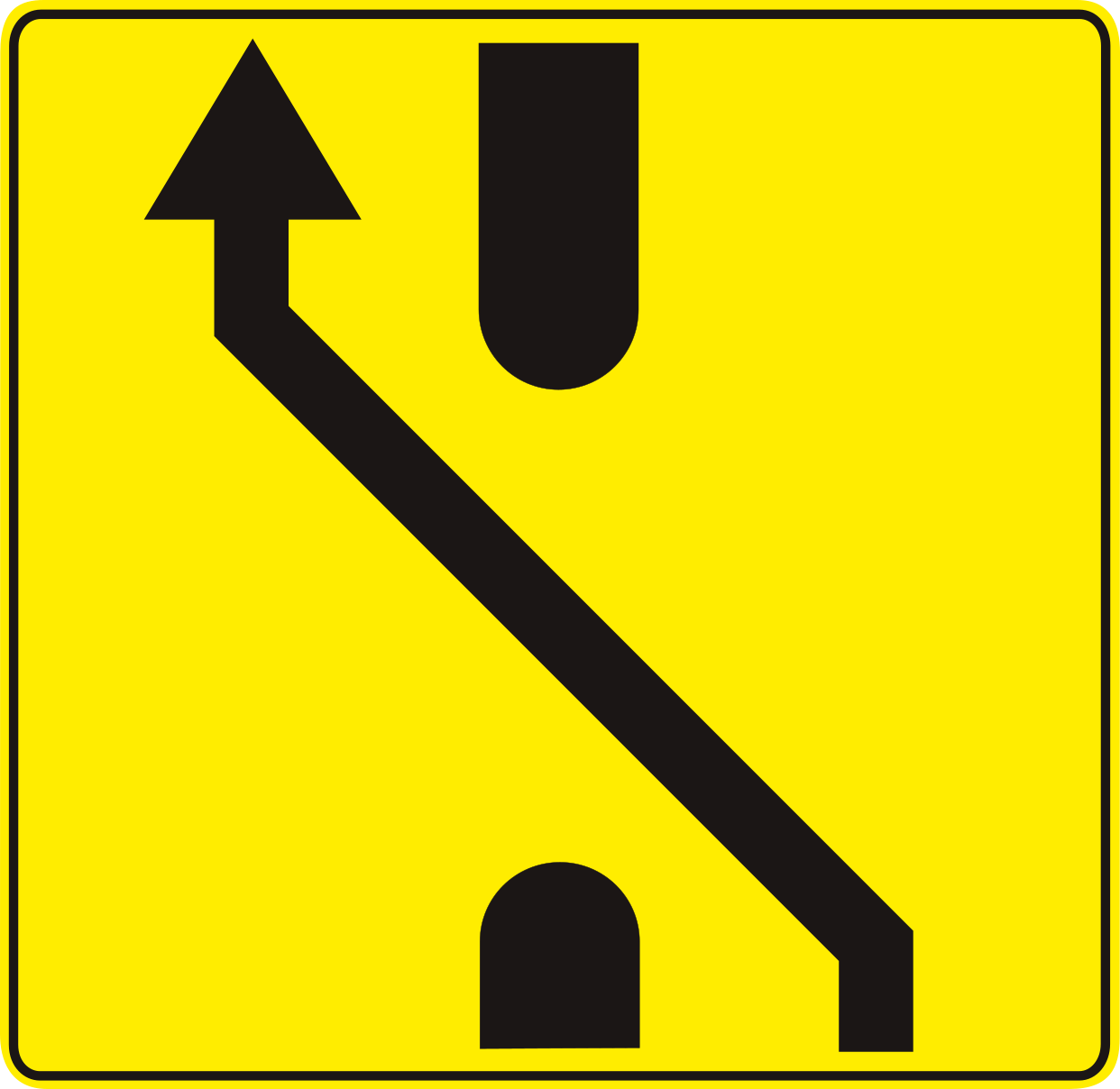
45. Temporary diversion of lanes
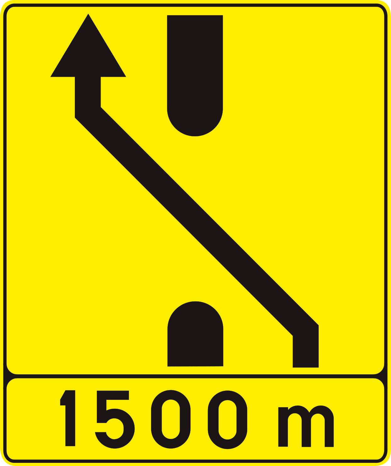
This traffic sign indicates that the traffic lanes temporarily shift sideways, usually because of roadworks or an obstruction. Follow the arrows, stay within your lane and move into the temporary alignment in good time. The number of arrows shows the number of lanes that continue.
Verkeersbord F81 • Tijdelijke aanwijzingen bij werken. Voorwegwijzer die een uitwijking aankondigt. Het symbool stemt overeen met de plaatsgesteldheid.
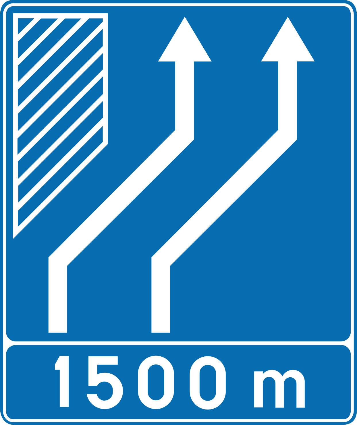
46. Diversion of lanes ahead
This traffic sign indicates that the traffic lanes ahead shift sideways to pass an obstruction or changed road layout. Follow the direction shown by the arrows, stay within your lane and adjust your position in good time. The number of arrows corresponds to the number of continuing traffic lanes.
Verkeersbord F96 • Verkeersbord dat een uitwijking aankondigt. Het aantal pijlen stemt overeen met het werkelijk aantal rijstroken. Het symbool stemt overeen met de plaatsgesteldheid.
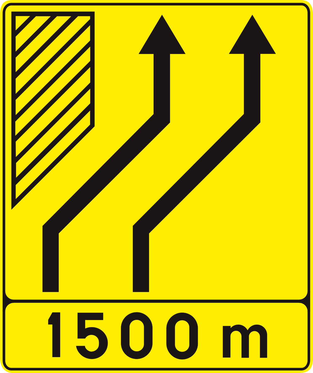
47. Temporary diversion of lanes ahead
This traffic sign indicates that the traffic lanes ahead temporarily shift sideways, usually because of roadworks or an obstruction. Follow the arrows, stay within your lane and move into the temporary alignment in good time. The number of arrows shows the number of lanes that continue.
Verkeersbord F81 • Tijdelijke aanwijzingen bij werken. Voorwegwijzer die een uitwijking aankondigt. Het symbool stemt overeen met de plaatsgesteldheid.
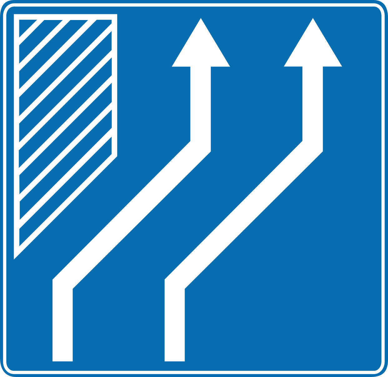
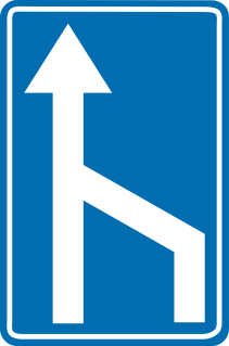
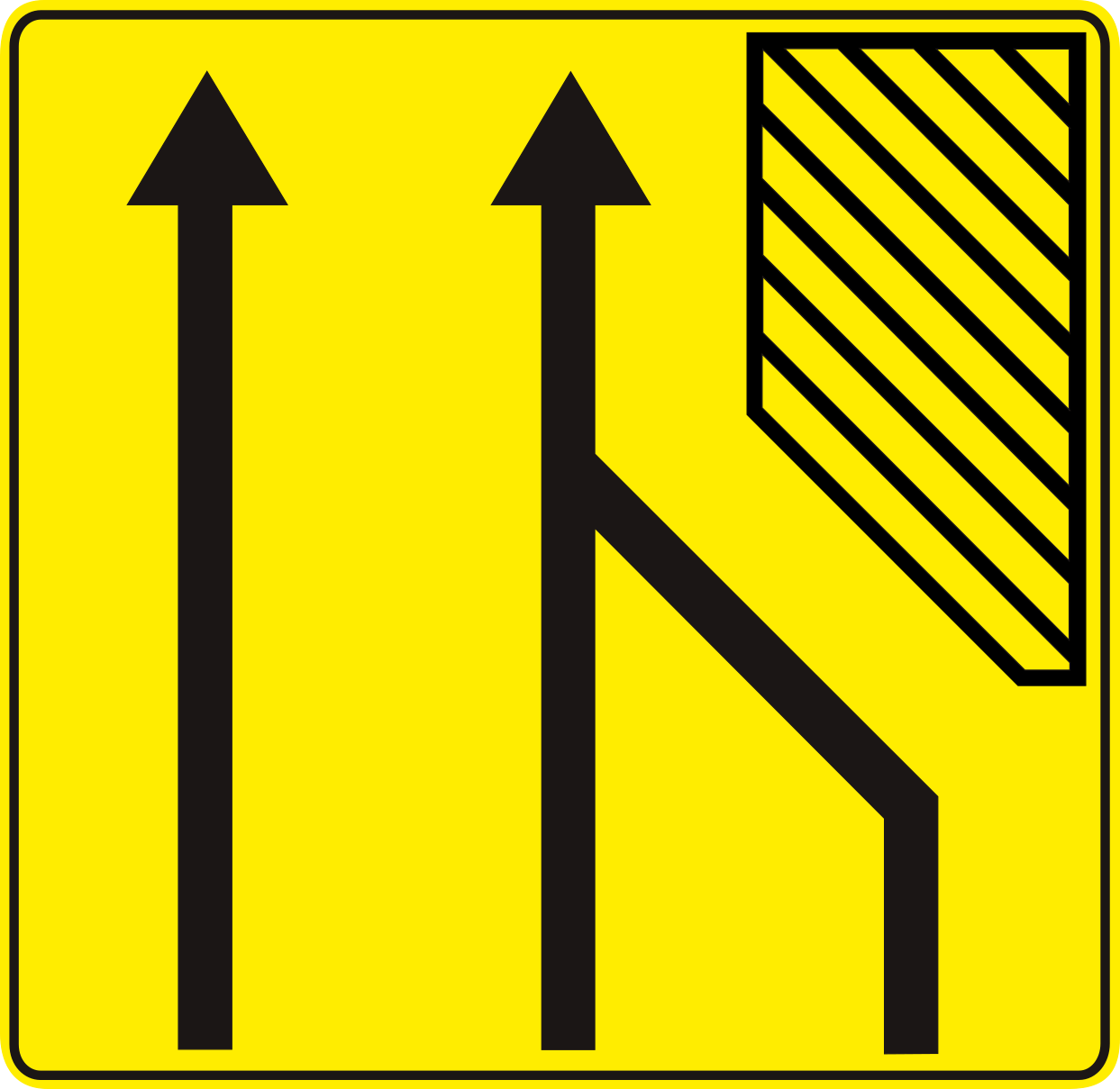
48. End of a lane
This traffic sign indicates the end of a lane. The displayed lane arrangement shows which lane ends and how the remaining traffic lanes continue.
Verkeersbord F97 • Verkeersbord dat de vermindering van een rijstrook aanduidt.
49. Temporary lane end
This traffic sign indicates that one traffic lane ends temporarily. Drivers in the ending lane must merge into a continuing lane according to the temporary road layout, markings and applicable merging rules.
Verkeersbord F80 • Tijdelijke aanwijzingen bij werken. Voorwegwijzer die de vermindering van het aantal rijstroken aankondigt. Het symbool stemt overeen met de plaatsgesteldheid.
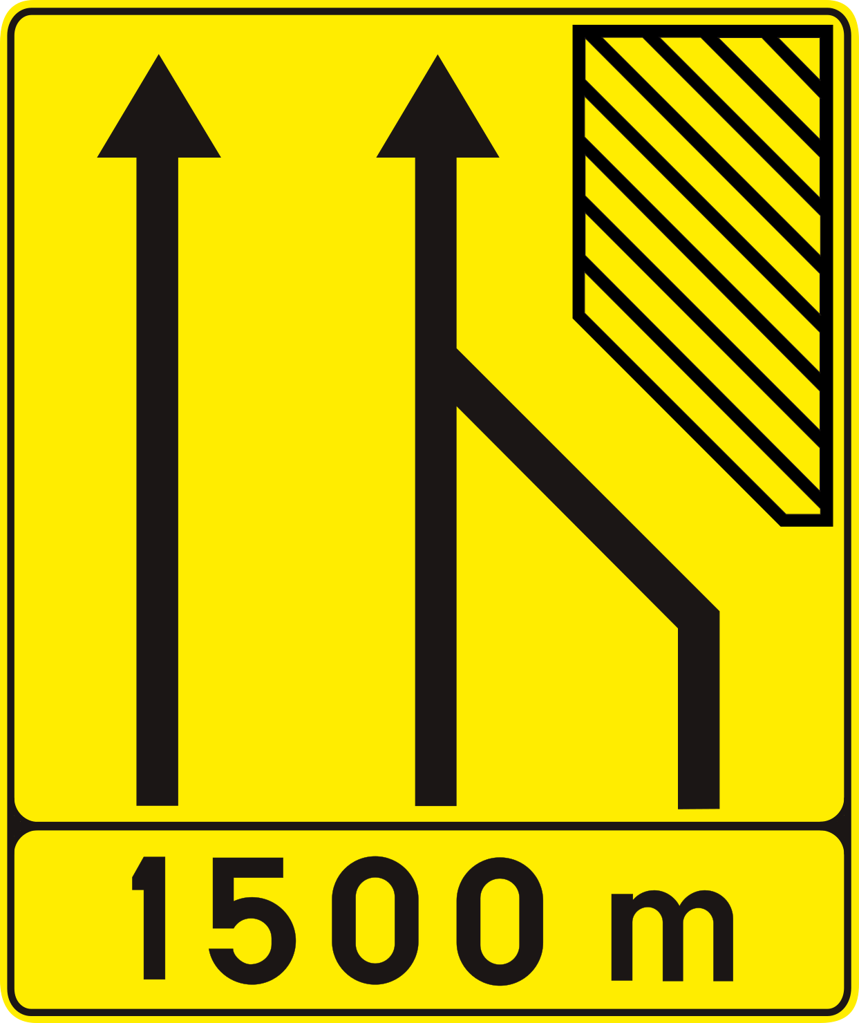
50. Temporary lane end ahead
This traffic sign indicates that one traffic lane ends temporarily ahead. Drivers in the ending lane must merge into a continuing lane according to the temporary road layout, markings and applicable merging rules.
Verkeersbord F80 • Tijdelijke aanwijzingen bij werken. Voorwegwijzer die de vermindering van het aantal rijstroken aankondigt. Het symbool stemt overeen met de plaatsgesteldheid.