

Traffic signsBrussels
 Traffic rules
 Brussels
 Priority signs
 Warning signs
 Prohibitory signs
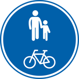 Mandatory signs
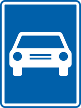 Information signs
 Additional signs
Information signs
An information sign is a traffic sign that provides useful guidance or clarification to road users without imposing rules or warnings. These signs inform drivers about things like parking zones, directions, facilities, road layouts, or the start and end of built-up areas. Their purpose is to help drivers navigate confidently by giving clear, practical information that improves orientation, comfort, and overall traffic flow.











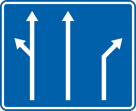
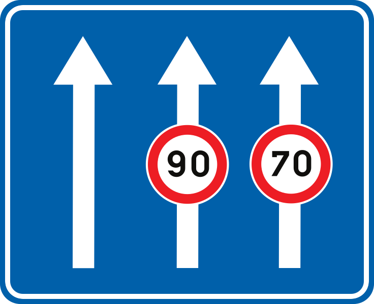
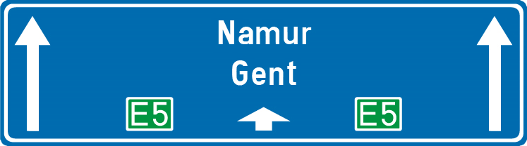
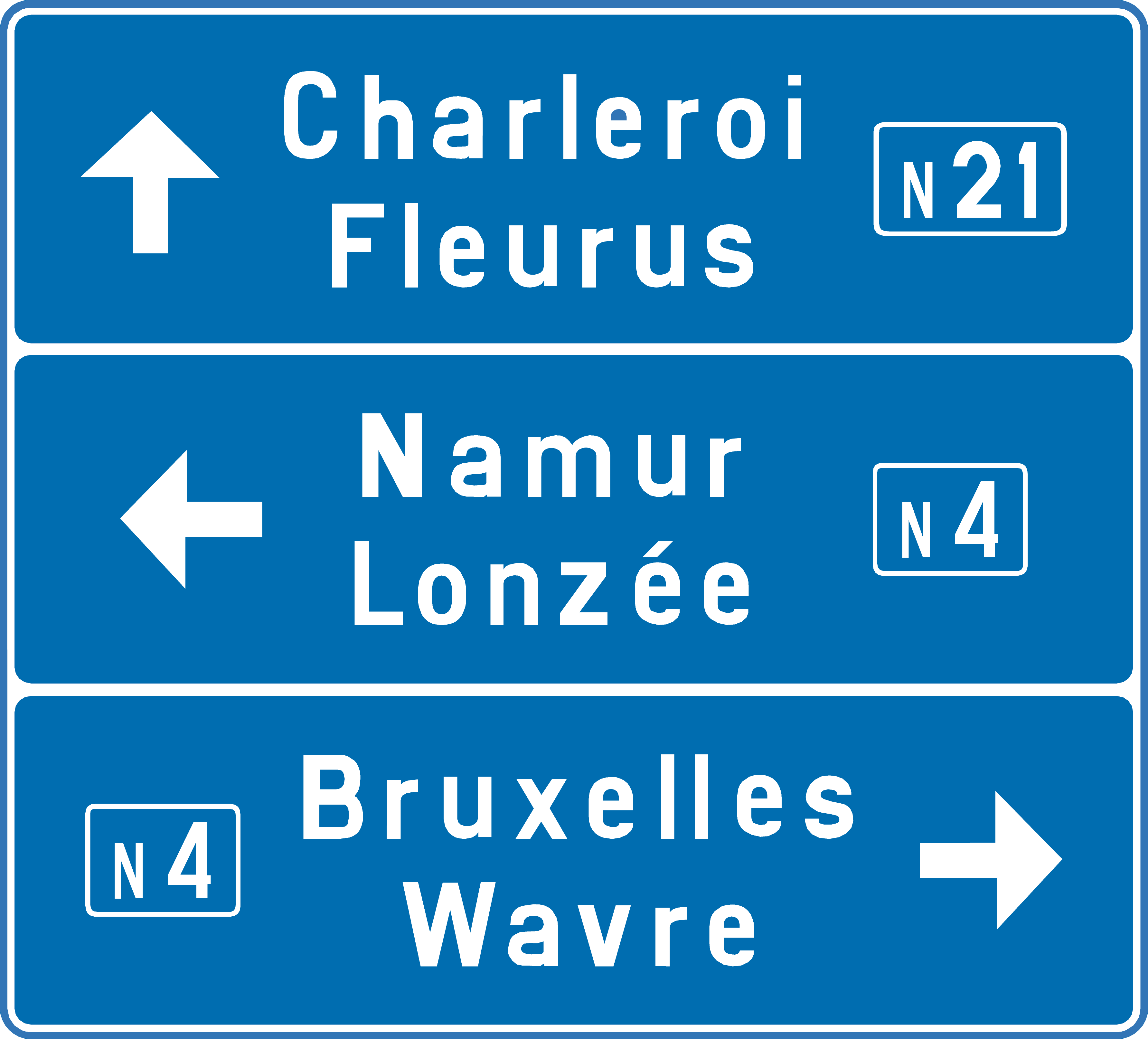
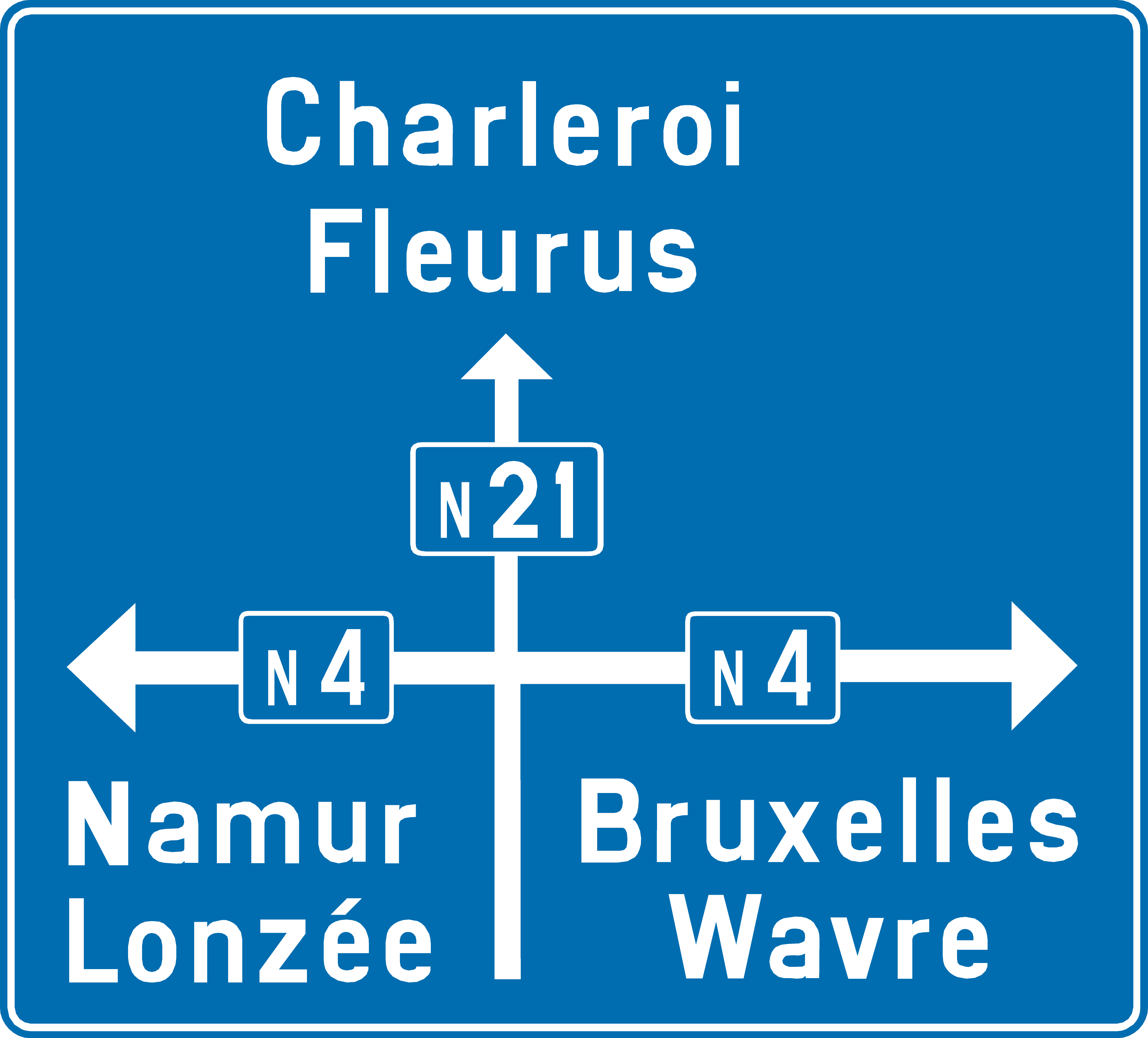
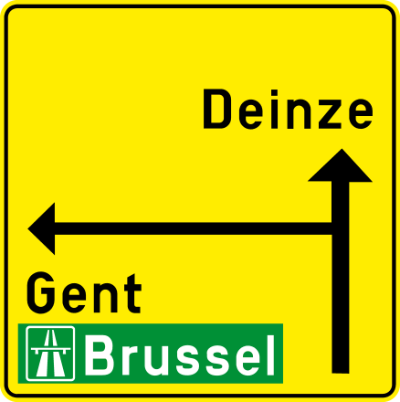
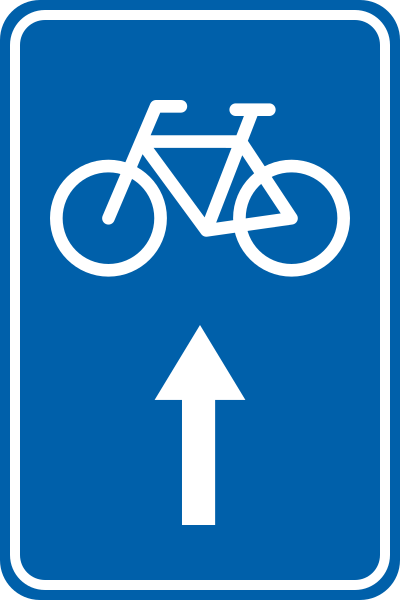
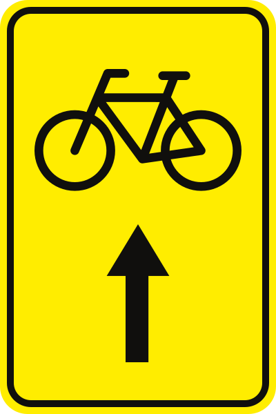
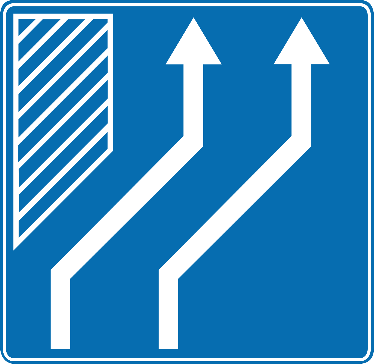
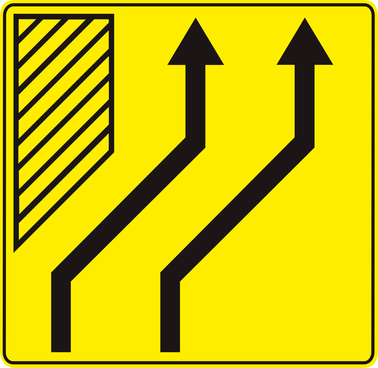
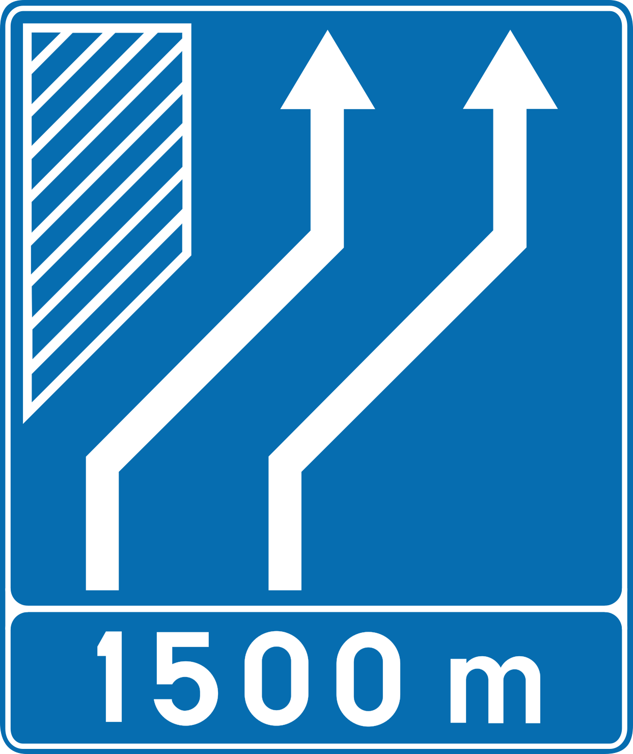
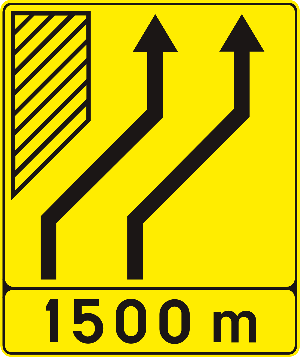
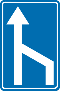
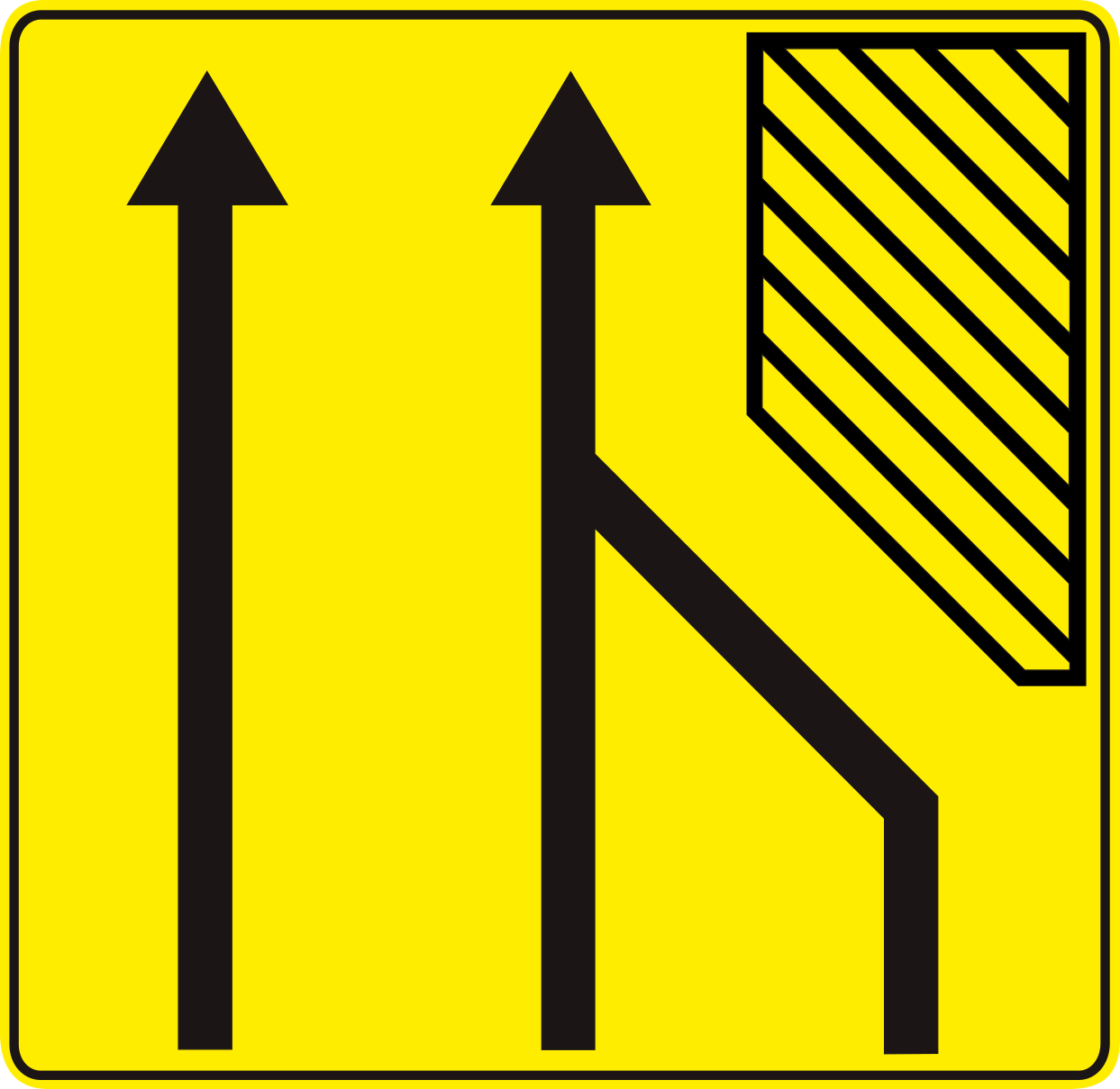
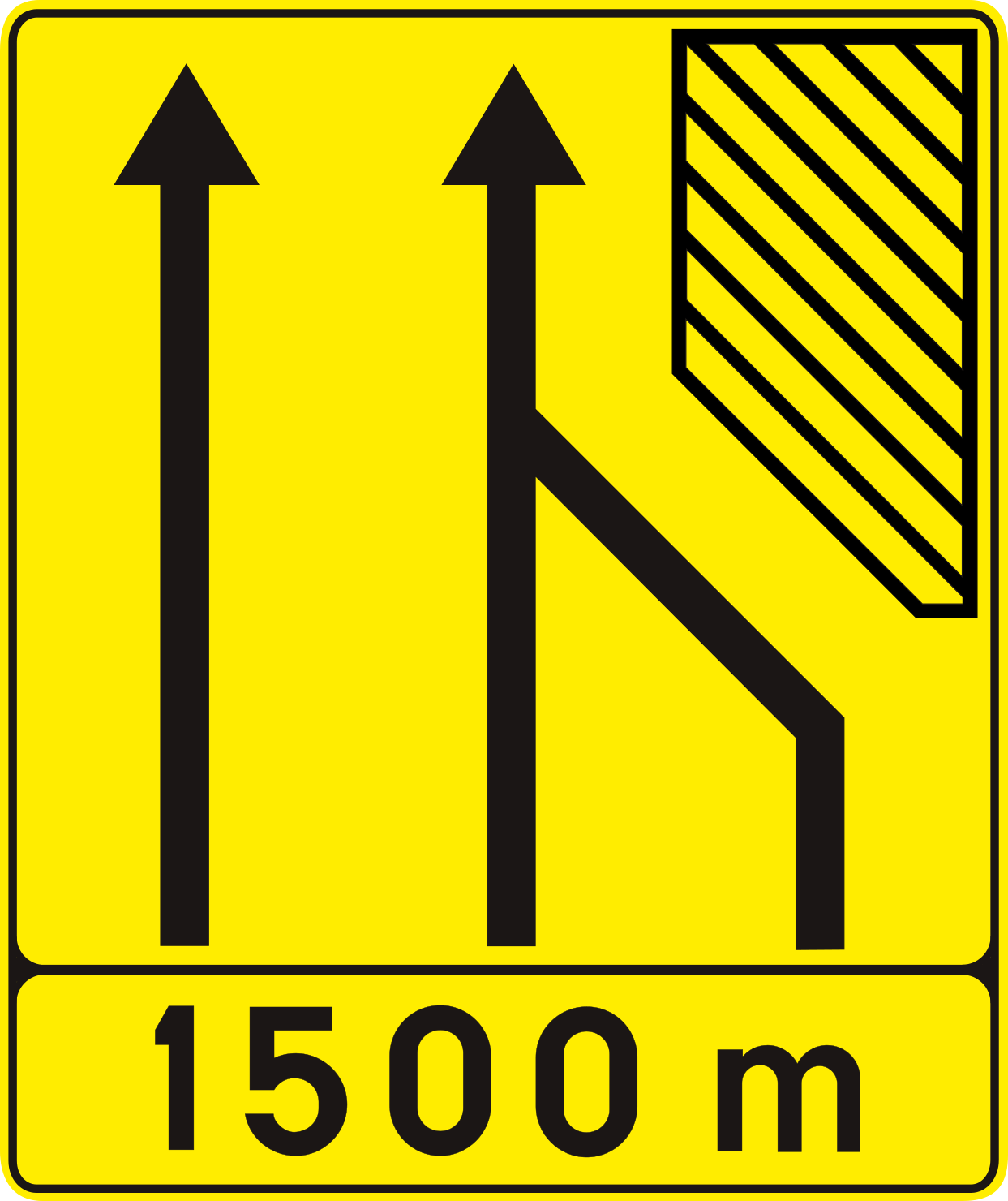
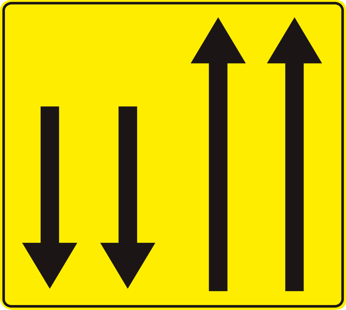













51. Overview of temporary lanes
This traffic sign indicates the temporary lane arrangement. The arrows indicate how many lanes are available in each direction of travel. Follow the temporary road markings and remain in the lane assigned to your direction.
Signal routier F85 • Indications temporaires à l’occasion de travaux. Circulation admise dans les deux sens sur une section de chaussée à sens unique.
Verkeersbord F85 • Tijdelijke aanwijzingen bij werken. Verkeer toegelaten in beide richtingen op een deel van de rijbaan met éénrichtingsverkeer.
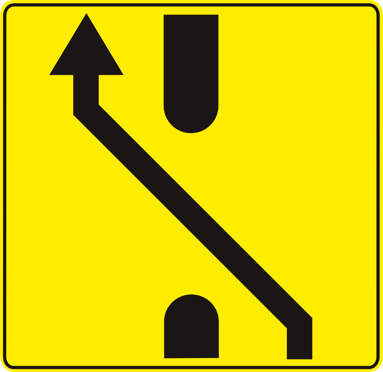
52. Temporary median strip diversion
This traffic sign indicates that traffic is temporarily directed through an opening in the central reservation. Follow the displayed direction and temporary lane markings through the diversion.
Signal routier F83 • Indications temporaires à l’occasion de travaux. Signal de préavis annonçant une traversée du terre-plein central.
Verkeersbord F83 • Tijdelijke aanwijzingen bij werken. Voorwegwijzer die een doorsteek van de middenberm aankondigt.
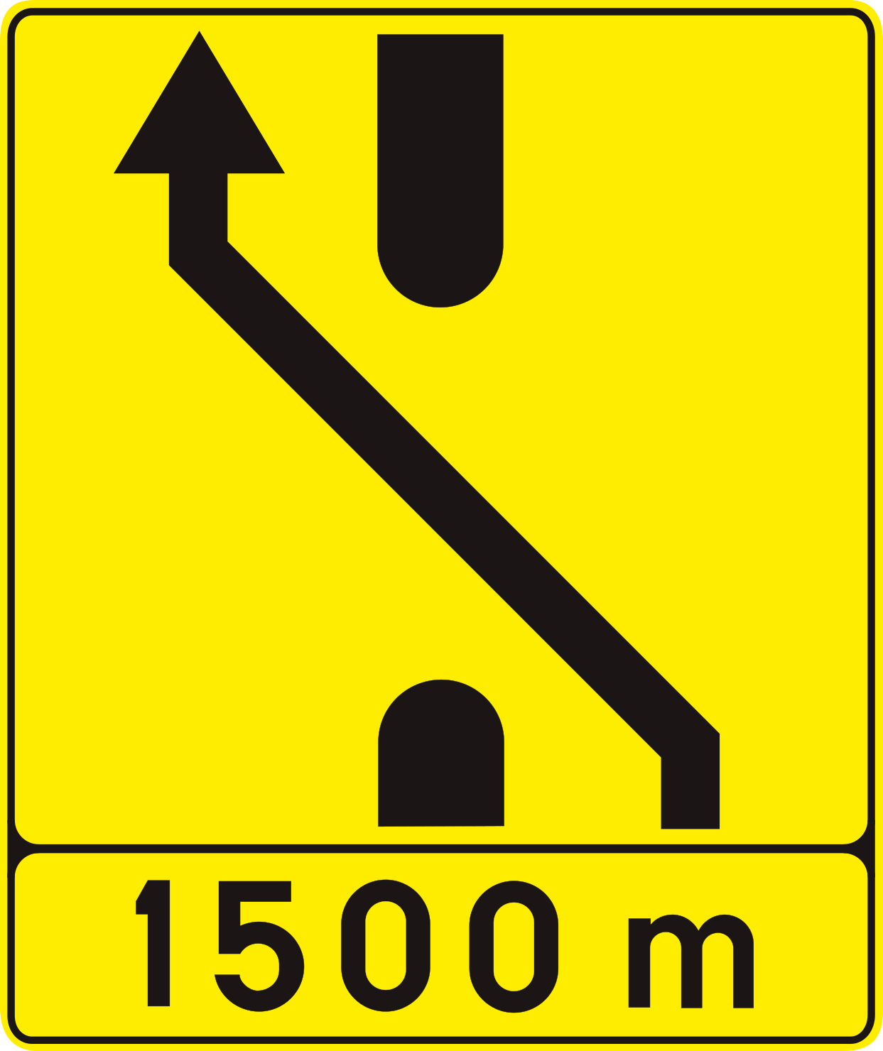
53. Temporary median strip diversion ahead
This traffic sign indicates that traffic ahead is temporarily directed through an opening in the central reservation. Follow the displayed direction and temporary lane markings through the diversion.
Signal routier F83 • Indications temporaires à l’occasion de travaux. Signal de préavis annonçant une traversée du terre-plein central.
Verkeersbord F83 • Tijdelijke aanwijzingen bij werken. Voorwegwijzer die een doorsteek van de middenberm aankondigt.
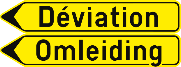
54. Detour
This traffic sign indicates a detour. The temporary route guides traffic around a road closure, roadworks or another disruption affecting the normal route.
Signal routier F41 • Signal de direction. Itinéraire de déviation. « Déviation » peut être remplacé par le nom de la destination.
Verkeersbord F41 • Wegwijzer. Omleiding. “Omleiding” kan vervangen zijn door de naam van de bestemming.
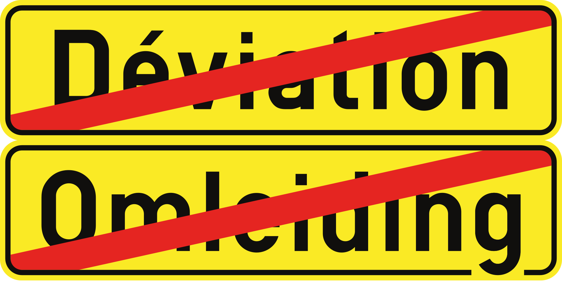
55. End of detour
This traffic sign indicates the end of the temporary detour route. Continue by following the normal road signs and directions.
Signal routier F42 • Fin d’une déviation.
Verkeersbord F42 • Einde van een omleiding.
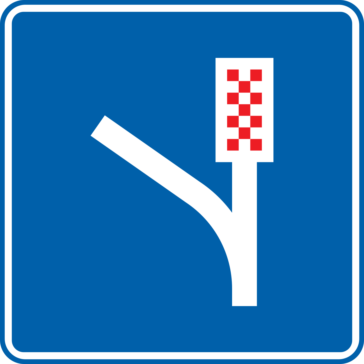
56. Runaway truck ramp
This traffic sign indicates a runaway truck ramp. The emergency escape ramp is intended for vehicles that are unable to slow or stop normally, particularly following a loss of braking capability.
Signal routier F95 • Piste de détresse.
Verkeersbord F95 • Noodstopstrook.
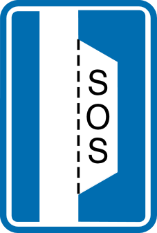
57. Emergency stopping place with SOS telephone
This traffic sign indicates an emergency stopping place with an SOS telephone. Vehicles may use the designated stopping area in an emergency or breakdown, and the telephone provides a means of requesting assistance.
Signal routier F98 • Refuge.
Verkeersbord F98 • Vluchthaven.
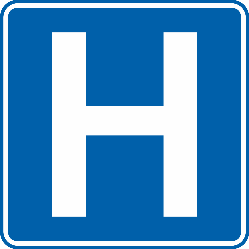
58. Hospital
This traffic sign indicates a hospital or medical facility. Follow any accompanying direction or distance information to reach it.
Signal routier F53 • Hôpital.
Verkeersbord F53 • Ziekenhuis.
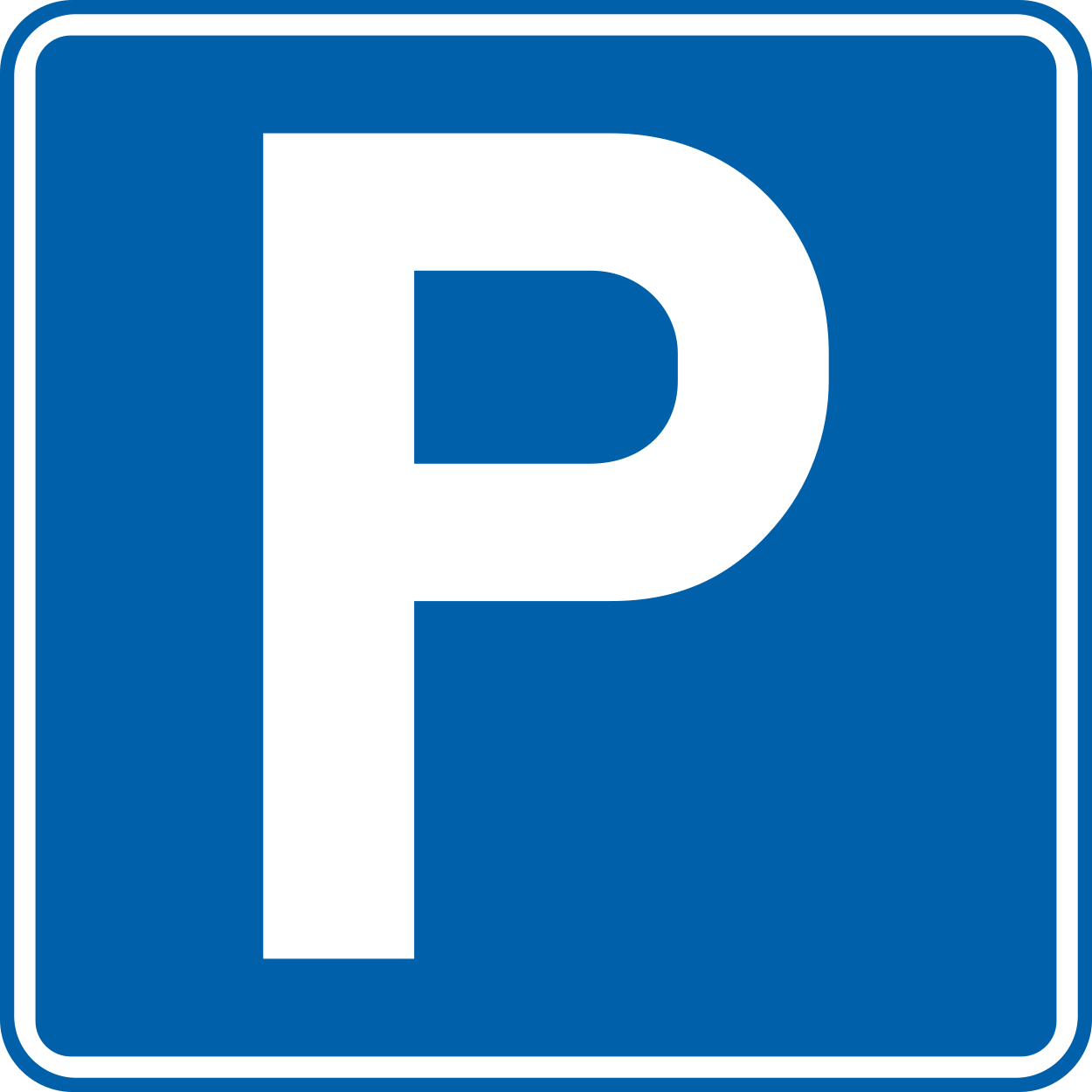
59. Parking allowed
This traffic sign indicates that parking is allowed. Vehicles may be parked in the area covered by the sign subject to any indicated conditions, restrictions or local parking rules.
Signal routier E9 • Stationnement autorisé.
Verkeersbord E9 • Parkeren toegelaten.
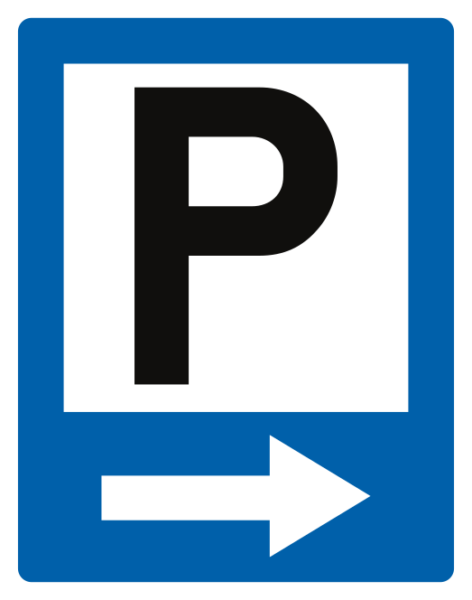
60. Direction to parking area
This traffic sign indicates the direction to a parking area. Follow the arrow to reach the indicated parking facility.
Signal routier F57 • Annonce d’un parking.
Verkeersbord F57 • Aankondiging van een parking.
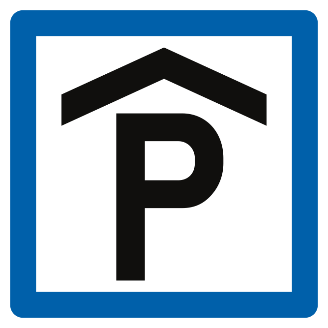
61. Covered car park
This traffic sign indicates a covered car park. A covered car park is an enclosed or roofed parking facility that protects vehicles from the weather. It may be underground, at ground level or arranged over several storeys.
Signal routier F59 • Parking couvert.
Verkeersbord F59 • Overdekte parking.
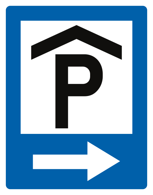
62. Direction to covered car park
This traffic sign indicates the direction to a covered or indoor parking facility. Follow the arrow to reach the covered car park.
Signal routier F58 • Annonce d’un parking couvert.
Verkeersbord F58 • Aankondiging van een overdekte parking.
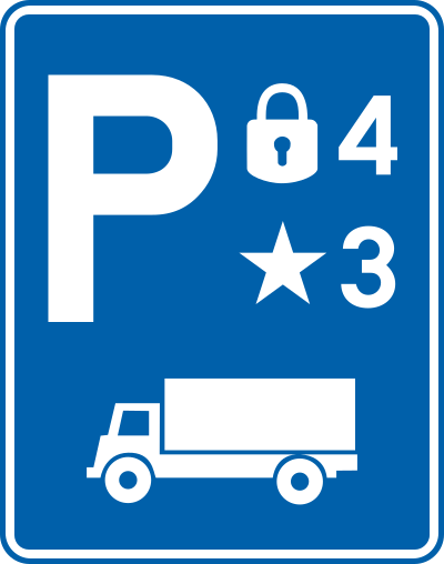
63. Secured parking
This traffic sign indicates a secured parking area. Where ratings are shown, the padlock symbols indicate the security level and the stars indicate the level of comfort or available services.
Signal routier F62 • Parking sécurisé. Le nombre maximal de cadenas est de 5. Les étoiles, maximum 5, sont facultatives.
Verkeersbord F62 • Beveiligde parking. Het maximaal aantal sloten is 5. De sterren, maximum 5, zijn facultatief.
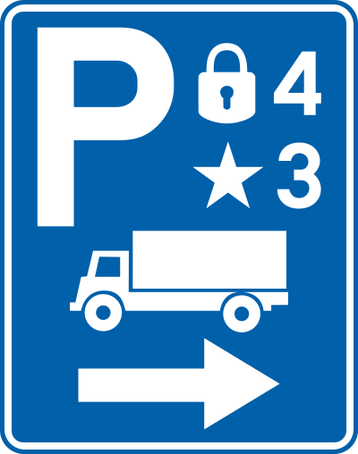
64. Direction to secured parking
This traffic sign indicates the direction to a secured parking area. Where ratings are shown, the padlock symbols indicate the security level and the stars indicate the level of comfort or available services.
Signal routier F61 • Annonce d’un parking sécurisé. Le nombre maximal de cadenas et d’étoiles est de 5. Les étoiles sont facultatives.
Verkeersbord F61 • Aankondiging van een beveiligde parking. Het maximaal aantal sloten en sterren is 5. De sterren zijn facultatief.
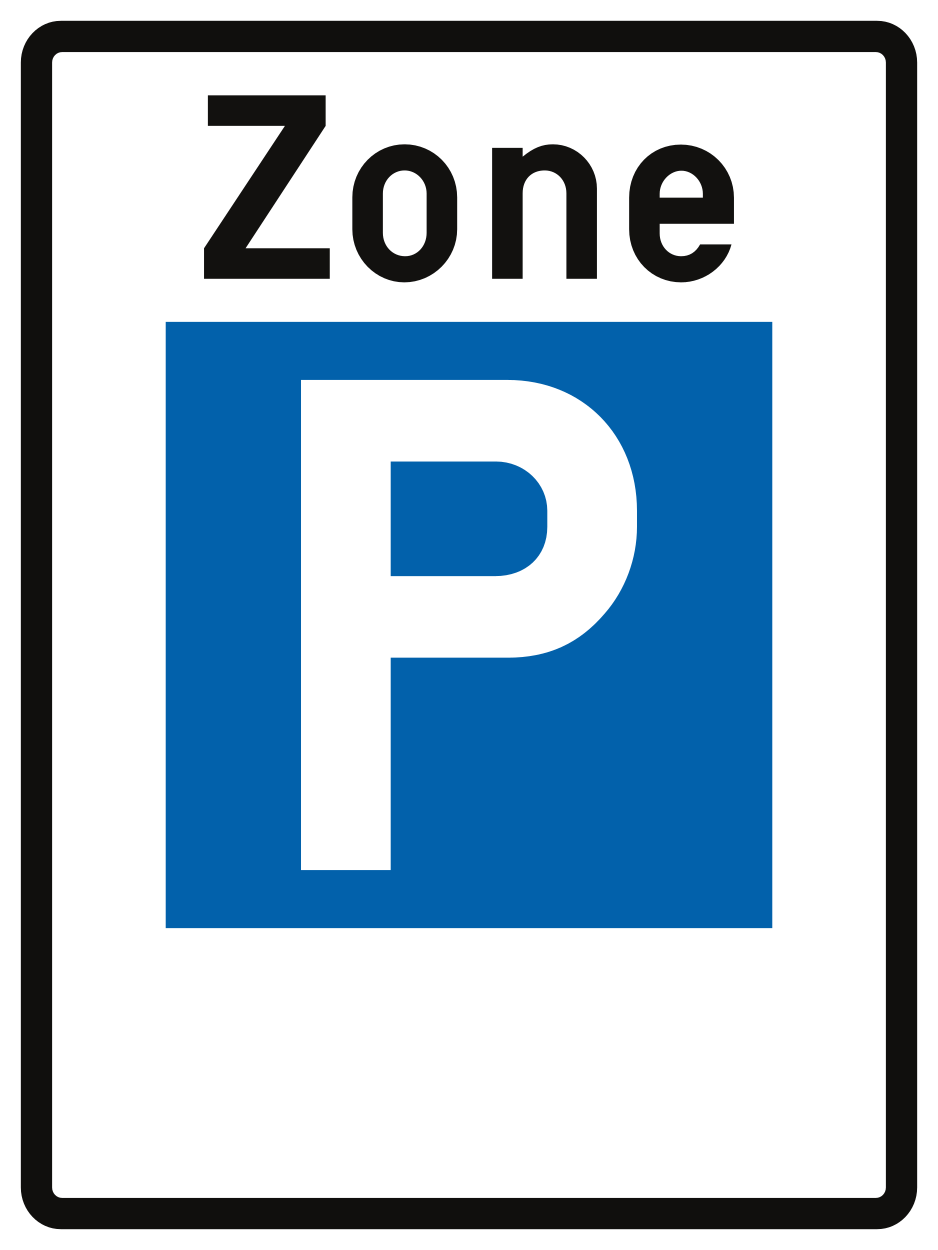
65. Start of a parking zone
This traffic sign indicates the start of a parking zone. The parking rules indicated for the zone apply throughout it according to the applicable signs and local regulations.
Signal routier Z1-E9 • Début d’une zone de stationnement.
Verkeersbord Z1-E9 • Begin van een parkeerzone.
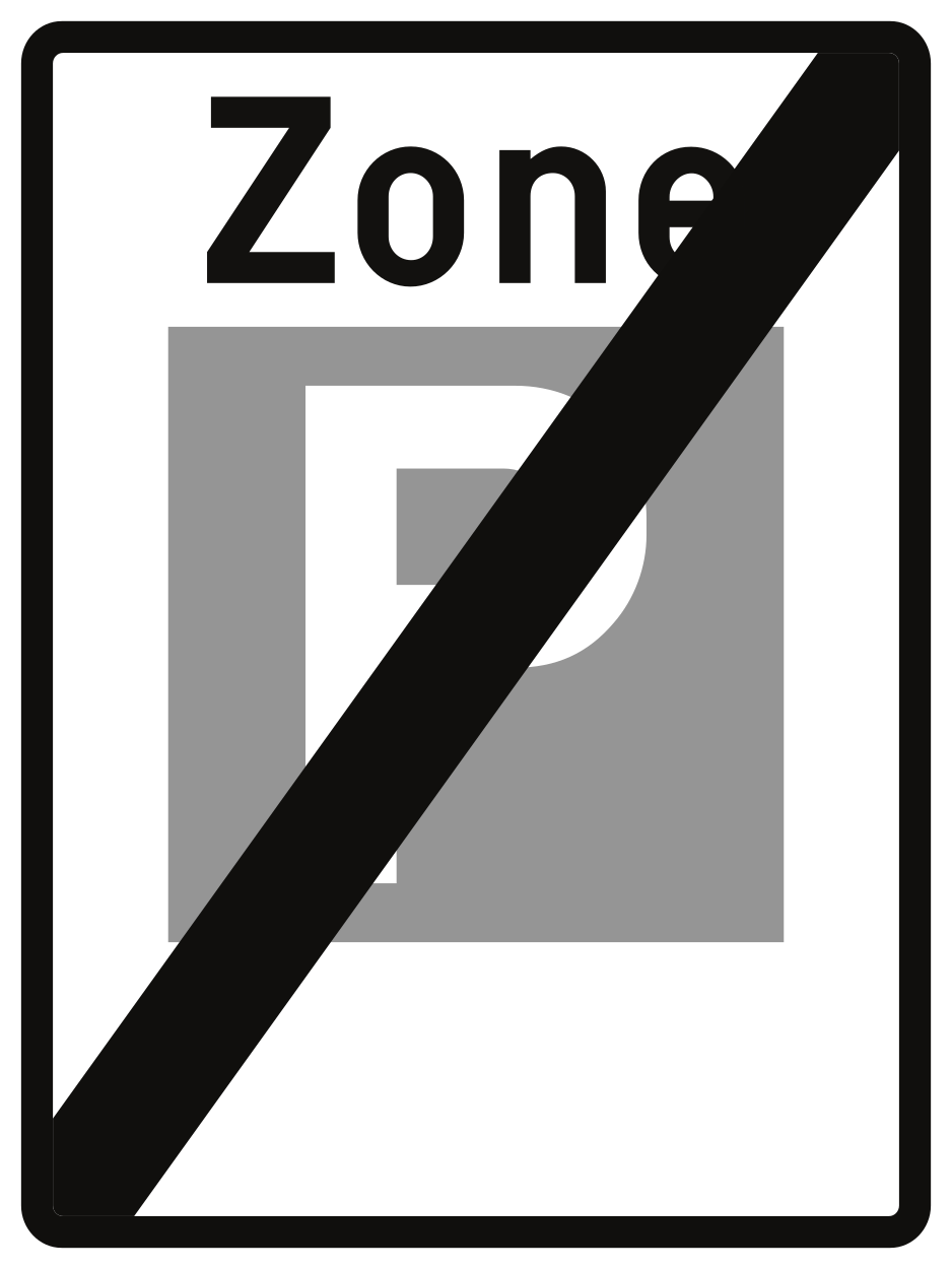
66. End of the parking zone
This traffic sign indicates the end of the parking zone. The parking rules associated with that zone end at this point. Other parking restrictions or conditions may still apply.
Signal routier Z3-E9 • Fin d’une zone de stationnement (exemple).
Verkeersbord Z3-E9 • Einde van een parkeerzone (voorbeeld).
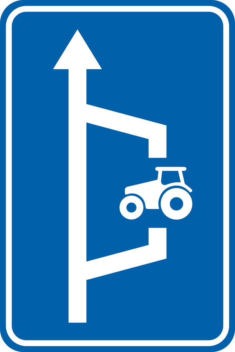
67. Place where you can let other vehicles pass
This traffic sign indicates a place where vehicles can let other traffic pass. A passing place provides additional space where vehicles can temporarily move aside when the road is too narrow for traffic to pass normally.
Signal routier F99 • Refuge pour véhicules agricoles.
Verkeersbord F99 • Vluchthaven voor landbouwvoertuigen.
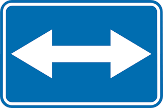
68. Passing left or right allowed
This traffic sign indicates that an obstruction or traffic island may be passed on either the left or the right. Choose the safe and permitted side while following the road layout and any additional signs or markings.
Signal routier F21 • Passage autorisé à droite ou à gauche.
Verkeersbord F21 • Rechts of links voorbijrijden toegelaten.
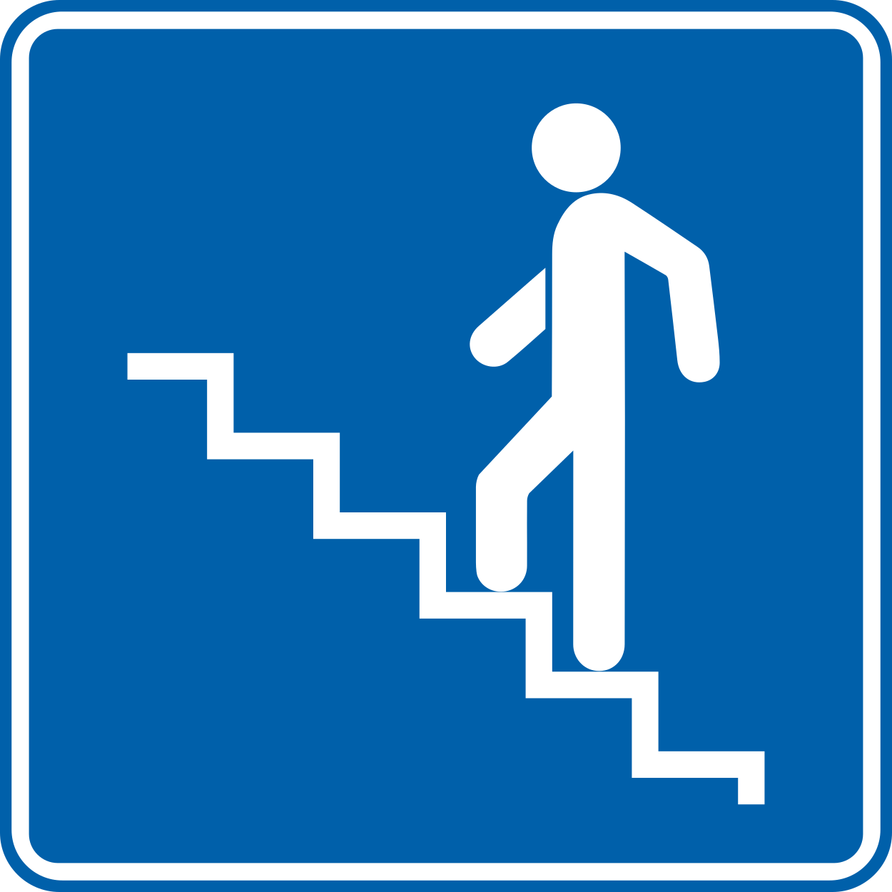
69. Pedestrian overpass
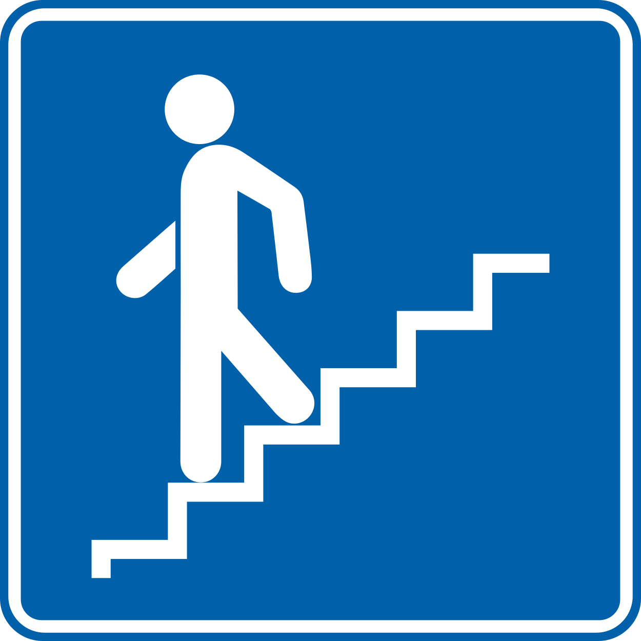
This traffic sign indicates a pedestrian overpass. A pedestrian overpass or footbridge provides a route for pedestrians to cross above a road, railway or other obstacle.
Signal routier F51 • Accès pour piétons, souterrain ou en hauteur.
Verkeersbord F51 • Ondergrondse of bovengrondse toegang voor voetgangers.
70. Direction to pedestrian overpass
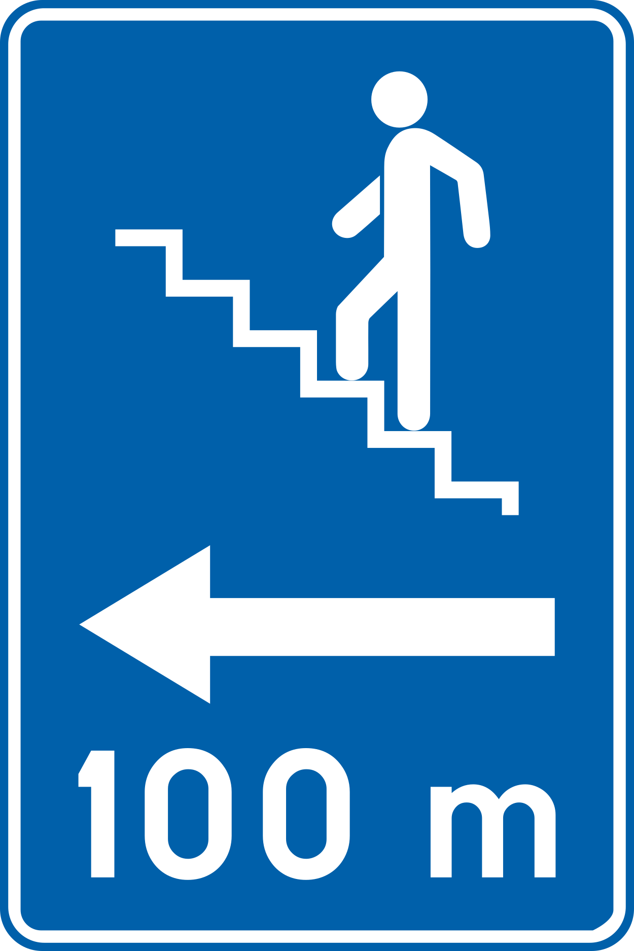
This traffic sign indicates the direction to a pedestrian overpass. Follow the indicated direction to reach the pedestrian route crossing above the road, railway or other obstacle.
Signal routier F51 • Accès pour piétons, souterrain ou en hauteur.
Verkeersbord F51 • Ondergrondse of bovengrondse toegang voor voetgangers.
71. Pedestrian underpass
This traffic sign indicates a pedestrian underpass. A pedestrian underpass provides a route for pedestrians to cross below a road, railway or other obstacle.
Signal routier F51 • Accès pour piétons, souterrain ou en hauteur.
Verkeersbord F51 • Ondergrondse of bovengrondse toegang voor voetgangers.
72. Direction to pedestrian underpass
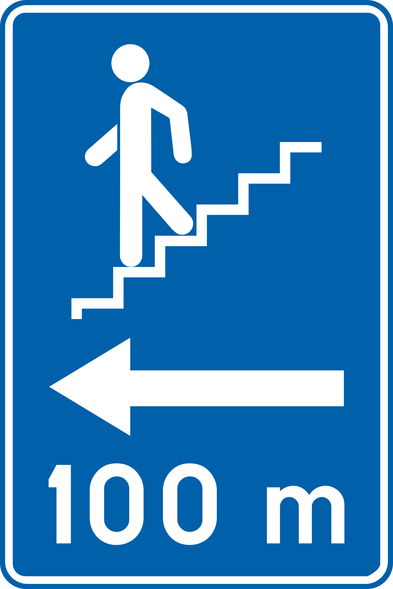
This traffic sign indicates the direction to a pedestrian underpass. Follow the indicated direction to reach the pedestrian route crossing below the road, railway or other obstacle.
Signal routier F51 • Accès pour piétons, souterrain ou en hauteur.
Verkeersbord F51 • Ondergrondse of bovengrondse toegang voor voetgangers.
73. Traffic information radio
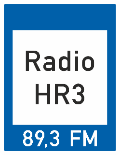
This traffic sign indicates a radio frequency providing information for road users. Tune to the frequency shown to receive the available traffic or travel information.
Signal routier F93 • Signal indiquant une station de radiodiffusion donnant des informations routières.
Verkeersbord F93 • Verkeersbord dat een radio-omroep aanduidt waar verkeersinformatie gegeven wordt.
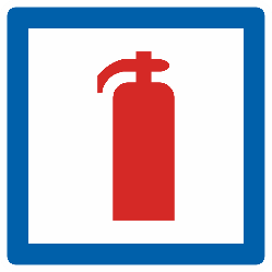
74. Fire extinguisher
This traffic sign indicates the location of a fire extinguisher that is available for use in an emergency.
Signal routier F56 • Extincteur.
Verkeersbord F56 • Brandblusapparaat.
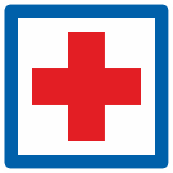
75. First aid
This traffic sign indicates a place where first aid is available. The facility provides initial assistance for people who are injured or suddenly become ill.
Signal routier F55 • Poste de secours.
Verkeersbord F55 • Hulppost.
76. Café
This traffic sign indicates a café. A café is a place where drinks and light refreshments are served, and may also offer simple meals.
Signal routier F69 • Cafétéria.
Verkeersbord F69 • Drankgelegenheid.
77. Restaurant
This traffic sign indicates a restaurant. A restaurant is a place where prepared meals and drinks are served to customers.
Signal routier F67 • Restaurant.
Verkeersbord F67 • Restaurant.
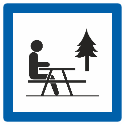
78. Picnic site
This traffic sign indicates a picnic site. A picnic site is a designated outdoor area where people can stop and eat food they have brought with them.
Signal routier F76 • Emplacement pour piquenique.
Verkeersbord F76 • Picknickplaats.
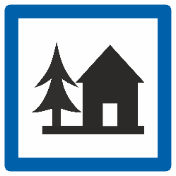
79. Youth hostel
This traffic sign indicates a youth hostel. A youth hostel provides relatively simple accommodation, often with shared rooms or communal facilities, and is commonly used by individual travellers and groups.
Signal routier F75 • Auberge de jeunesse.
Verkeersbord F75 • Jeugdherberg.
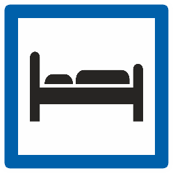
80. Hotel
This traffic sign indicates a hotel. A hotel provides overnight accommodation in individual rooms and may offer additional services such as reception, meals or other guest facilities.
Signal routier F66 • Hôtel ou motel.
Verkeersbord F66 • Hotel of motel.
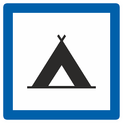
81. Camping site
This traffic sign indicates a camping site. The designated area provides accommodation for people staying in tents.
Signal routier F71 • Terrain de camping.
Verkeersbord F71 • Kampeerterrein.
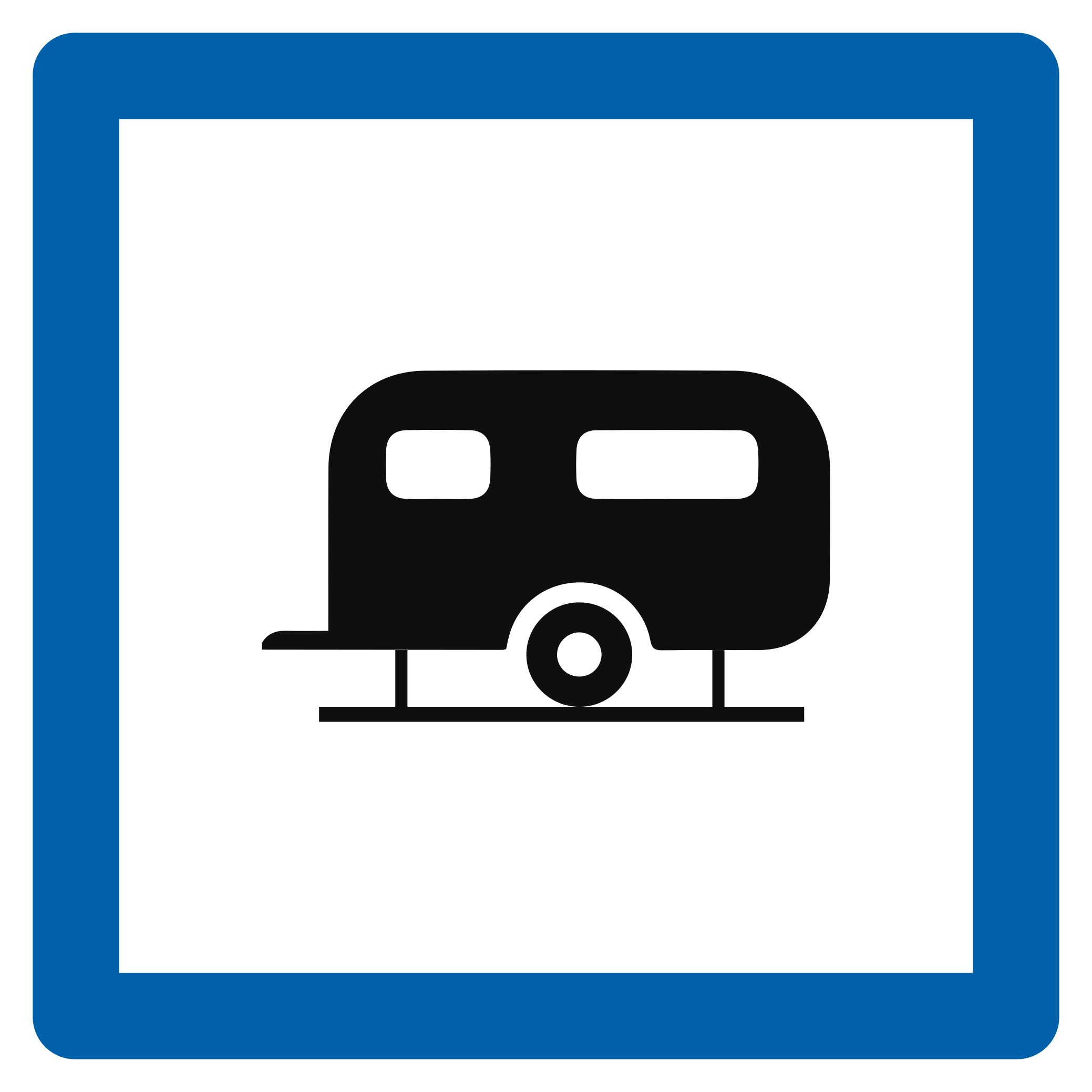
82. Caravan site
This traffic sign indicates a caravan site. The designated area provides parking or accommodation for caravans.
Signal routier F73 • Terrain de caravaning.
Verkeersbord F73 • Kampeeraanhangwagenterrein.
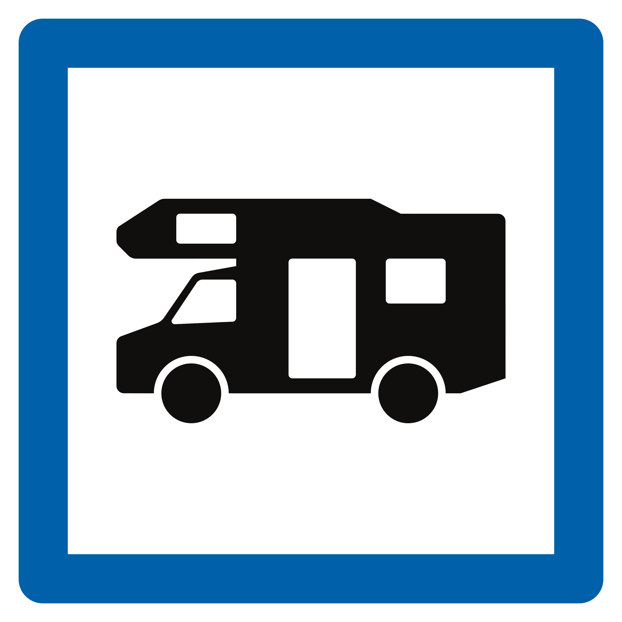
83. Camper site
This traffic sign indicates a camper site. The designated area provides parking or overnight accommodation for motorhomes and similar recreational vehicles.
Signal routier F74 • Terrain pour autocaravane.
Verkeersbord F74 • Kampeerwagenterrein.
84. Information point
This traffic sign indicates an information point. Information about the local area, destinations or available services can be obtained there.
Signal routier F77 • Point d’information touristique.
Verkeersbord F77 • Trefpunt voor toeristische informatie.
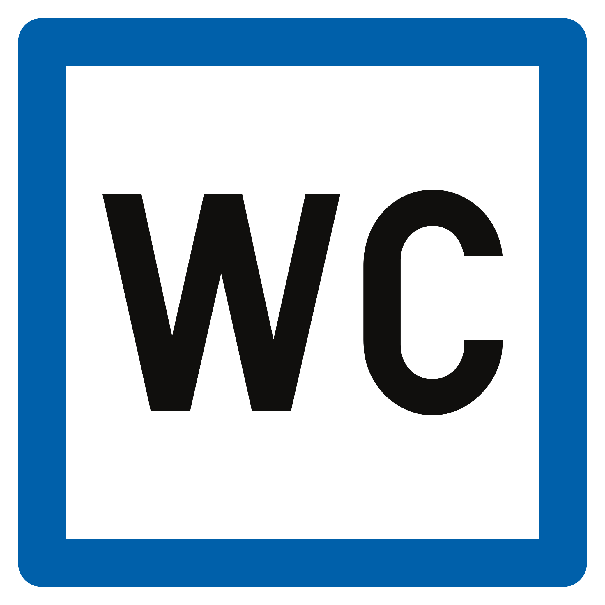
85. Public toilet
This traffic sign indicates a public toilet. Toilet facilities available for public use are located at or near the indicated place.
Signal routier F78 • Toilette.
Verkeersbord F78 • Toilet.
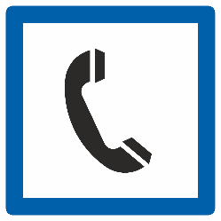
86. Telephone
This traffic sign indicates the location of a telephone available for public use.
Signal routier F63 • Téléphone.
Verkeersbord F63 • Telefoon.
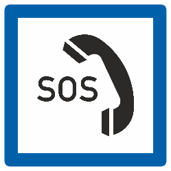
87. Emergency telephone
This traffic sign indicates the location of an emergency telephone. The telephone provides a direct means of requesting assistance in an emergency.
Signal routier F64 • Téléphone d’appel d’urgence.
Verkeersbord F64 • Noodtelefoon.
88. Viewpoint
This traffic sign indicates a viewpoint. A viewpoint is a designated location offering a view of the surrounding landscape or another place of interest.
Signal routier F79 • Point de vue.
Verkeersbord F79 • Uitzichtpunt.
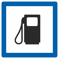
89. Petrol station
This traffic sign indicates a petrol station. Fuel for motor vehicles is available at the indicated location. The available fuel types may be shown on the sign or accompanying information.
Signal routier F65a • Distribution de carburant. Le type du carburant peut être indiqué sur le signal ou sur un panneau additionnel.
Verkeersbord F65a • Tankstation. Het type brandstof kan aangeduid zijn op het verkeersbord of op een onderbord.
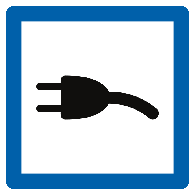
90. Charging station
This traffic sign indicates a charging station. Electric vehicles can be recharged at the indicated location. Follow any parking, charging or access conditions that apply.
Signal routier F65b • Borne de recharge électrique.
Verkeersbord F65b • Elektrische laadpaal.
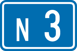
91. Ordinary road number
This traffic sign indicates an ordinary road number. The number identifies the road or route and can be used to follow directions and route signs.
Signal routier F23a • Numéro d’une route ordinaire.
Verkeersbord F23a • Nummer van een gewone weg.
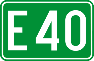
92. E-route number
This traffic sign indicates an E-route number. E-routes form part of the international European road network and are identified by the letter E followed by a route number.
Signal routier F23c • Numéro d’une route internationale.
Verkeersbord F23c • Nummer van een internationale weg.
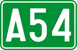
93. Motorway number
This traffic sign indicates a motorway number. The number identifies the motorway and helps road users follow the correct route.
Signal routier F23b • Numéro d’une autoroute.
Verkeersbord F23b • Nummer van een autosnelweg.
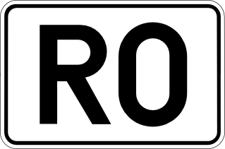
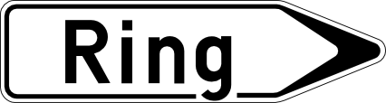
94. Ring road number
This traffic sign indicates a ring road number. The number identifies a route that forms or follows a ring around a city or another area.
Signal routier F23d • Numéro d’un ring.
Verkeersbord F23d • Nummer van een ring.
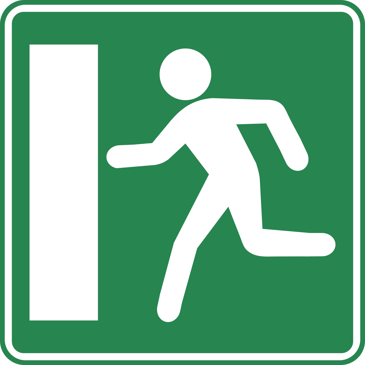
95. Emergency exit
This traffic sign indicates an emergency exit. The exit provides an evacuation route to be used when leaving the area in an emergency.
Signal routier F52a • Indication d’une issue de secours.
Verkeersbord F52a • Aankondiging van een nooduitgang.
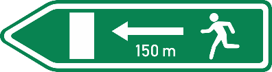
96. Direction to emergency exit
This traffic sign indicates the direction to an emergency exit. Follow the indicated direction to reach the evacuation route or emergency exit.
Signal routier F52b • Voie d’évacuation : annonce de l’issue de secours la plus proche dans la direction indiquée.
Verkeersbord F52b • Vluchtroute: aankondiging van de dichtstbijzijnde nooduitgang, in de aangeduide richting.
97. Signpost with distance to location
This traffic sign indicates the direction and remaining distance to the named destination.
Signal routier F29 • Signal de direction. La distance en kilomètres peut être indiquée sur le signal.
Verkeersbord F29 • Wegwijzer. De afstand in kilometer kan op de wegwijzer aangeduid zijn.
98. Direction to the motorway
This traffic sign indicates the direction to a motorway and the destination reached by following it.
Signal routier F31 • Signal de direction. Itinéraire par autoroute.
Verkeersbord F31 • Wegwijzer. Reisweg over een autosnelweg.
99. Recommended route for cyclists
This traffic sign indicates a recommended route for cyclists toward the named destination. Follow the arrow to continue along the suggested cycling route.
Signal routier F34b.1 • Signal de direction : itinéraire conseillé à des catégories déterminées d’usagers. Ces signaux peuvent aussi avoir un fond vert.
Verkeersbord F34b.1 • Wegwijzer: aanbevolen reisweg voor bepaalde categorieën van weggebruikers. Deze borden kunnen ook een groene achtergrond hebben.
100. Recommended route for cyclists to a tourist destination
This traffic sign indicates a recommended route for cyclists to a tourist destination. Follow the arrow to continue along the suggested cycling route.
Signal routier F34c.1 • Signal de direction : itinéraire vers une destination touristique, conseillé à des catégories déterminées d’usagers. Ces signaux peuvent aussi avoir un fond vert.
Verkeersbord F34c.1 • Wegwijzer: aanbevolen reisweg naar een toeristische bestemming voor bepaalde categorieën van weggebruikers. Deze borden kunnen ook een groene achtergrond hebben.