

Sinais de trânsitoBruxelas
 Regras de trânsito
 Bruxelas
 Sinais de prioridade
 Sinais de perigo
 Sinais de proibição
 Sinais de obrigação
 Sinais de indicação
 Painéis adicionais
Sinais de indicação
Um sinal de indicação fornece orientação ou informação útil aos utentes da via sem impor, por si só, uma proibição ou um aviso de perigo. Pode informar sobre estacionamento, direções, serviços, configuração da estrada ou início e fim de localidades. O objetivo é ajudar os condutores a orientarem-se através de informação clara e prática.



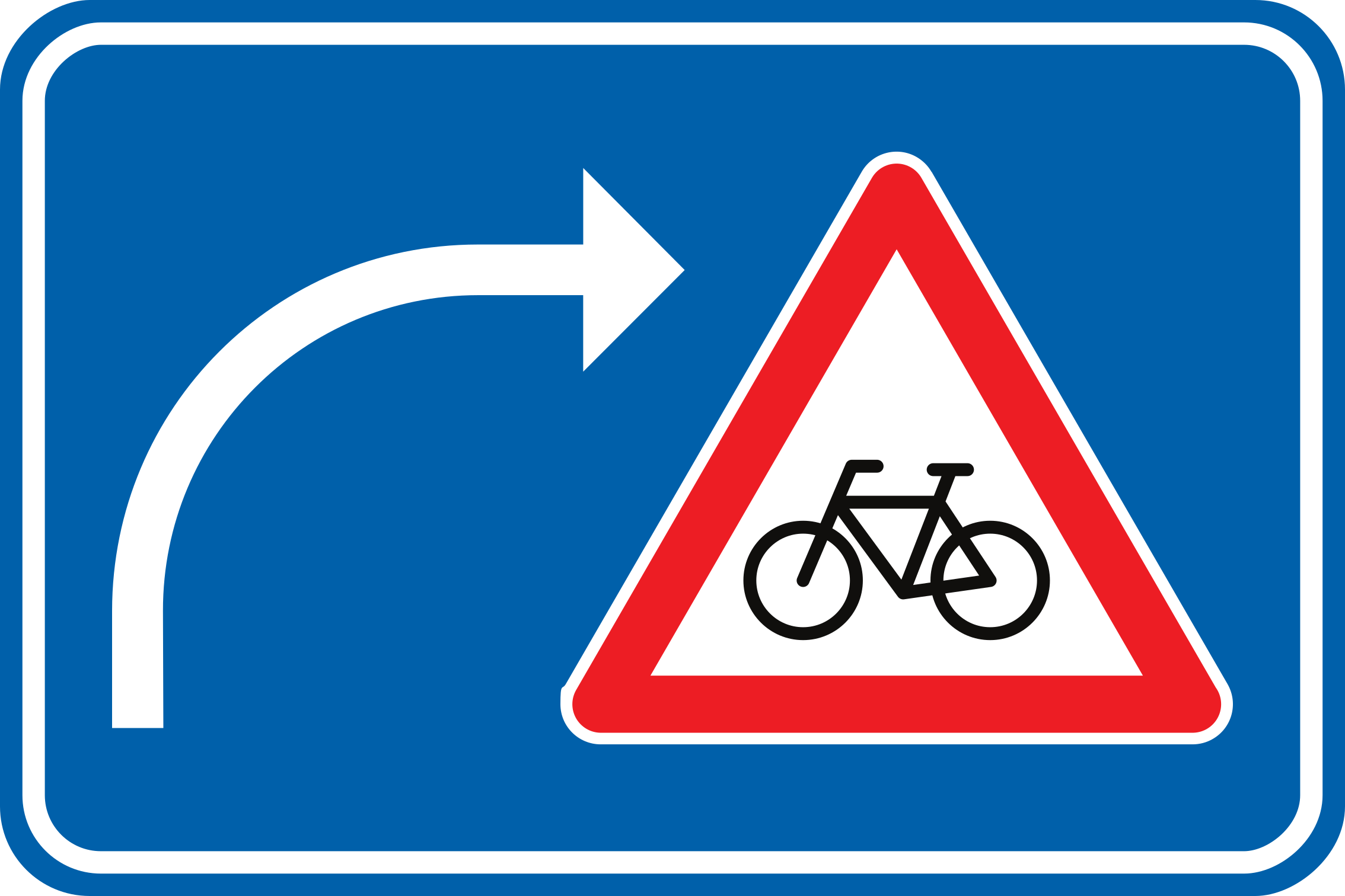
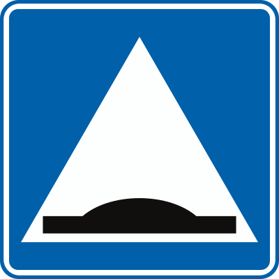
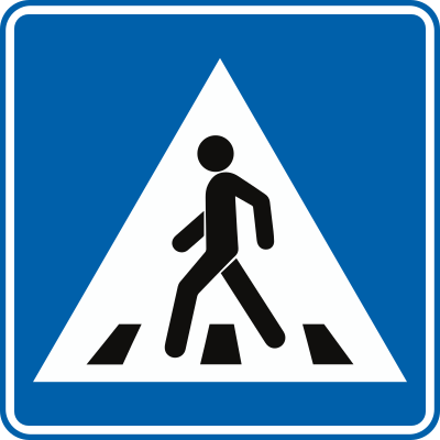
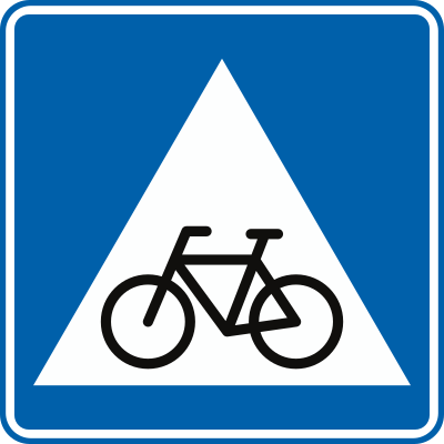


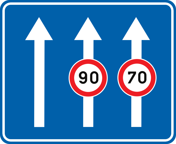
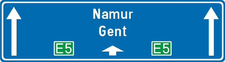
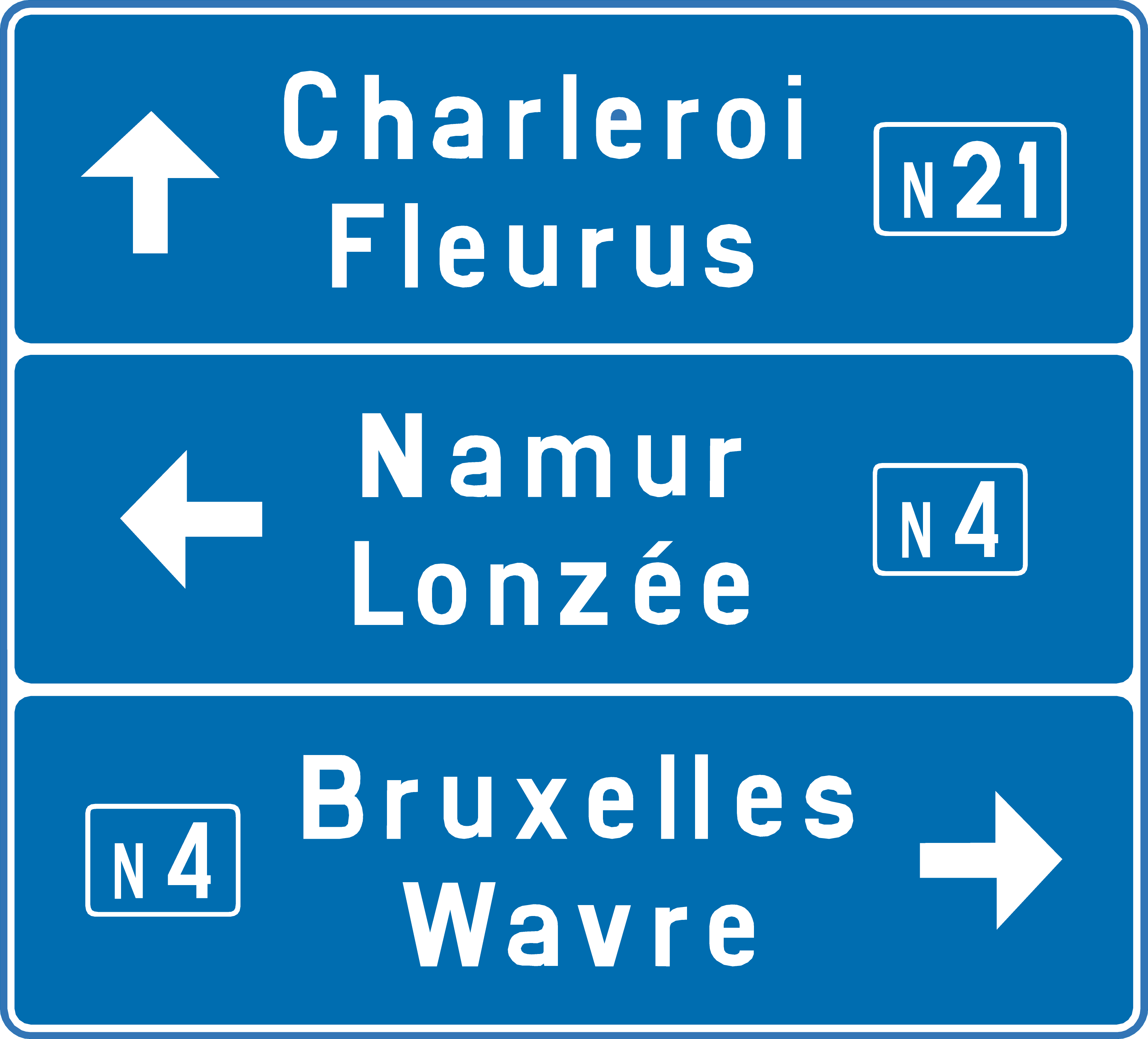
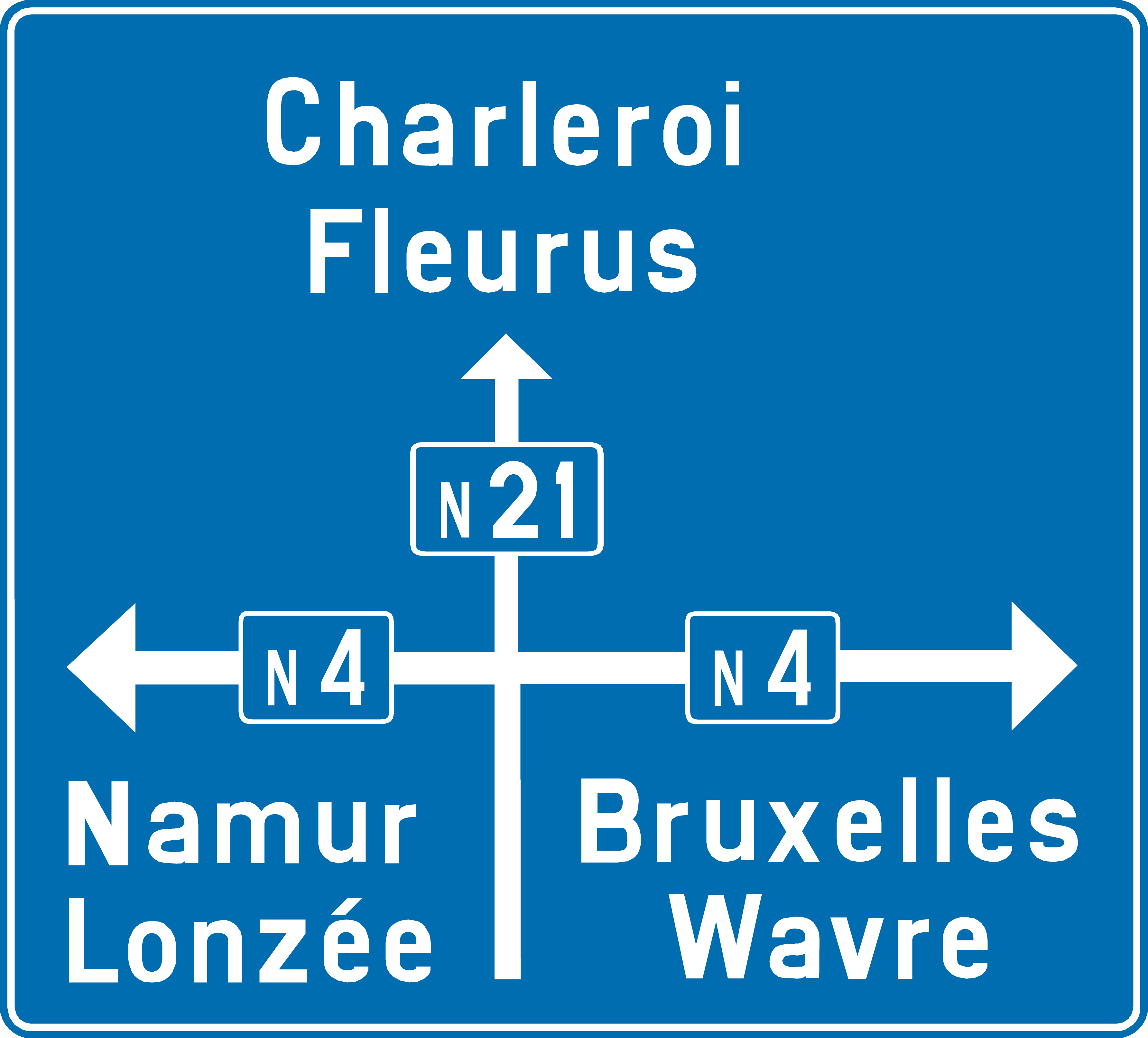
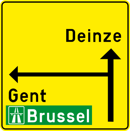
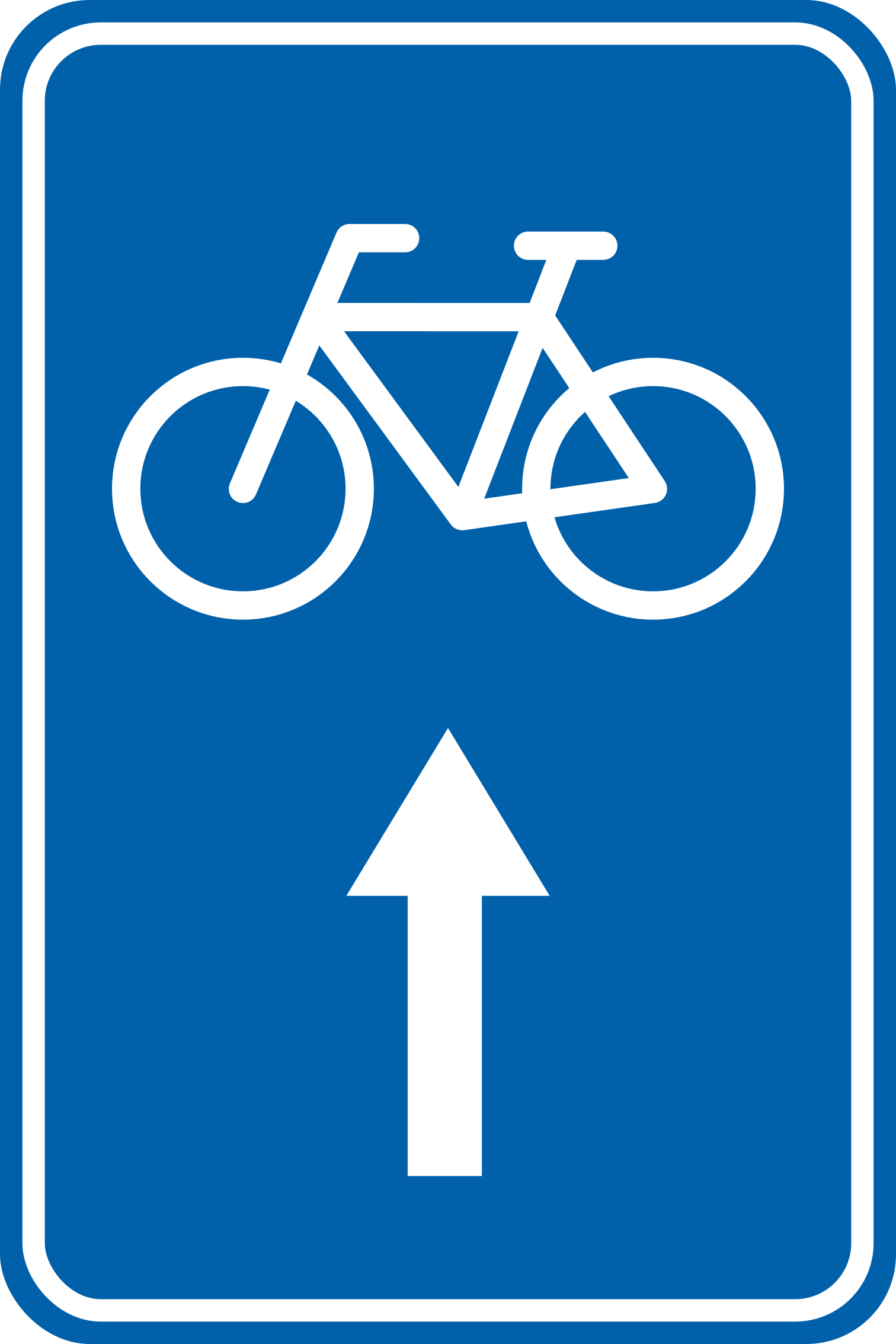
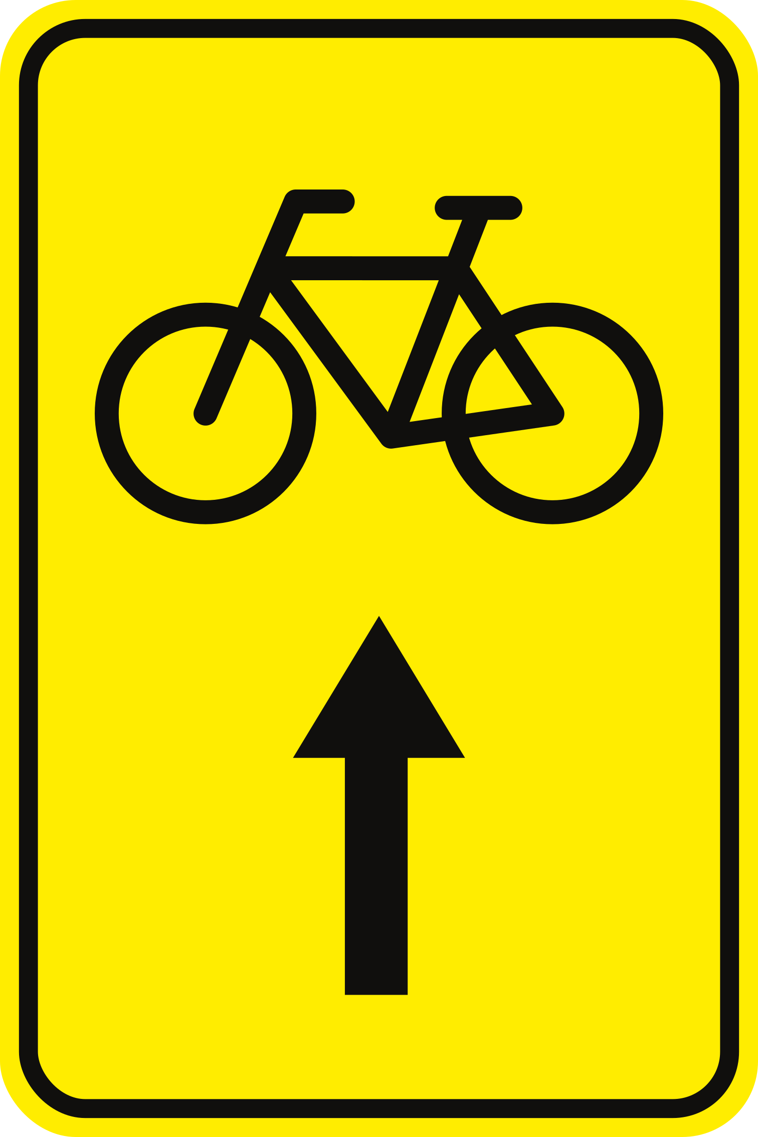
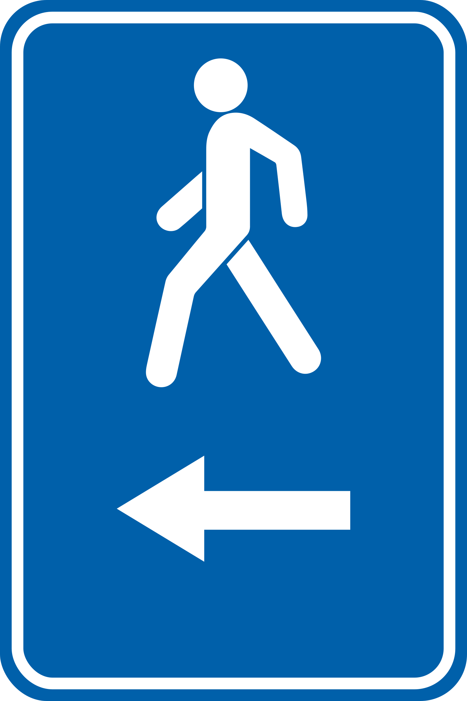
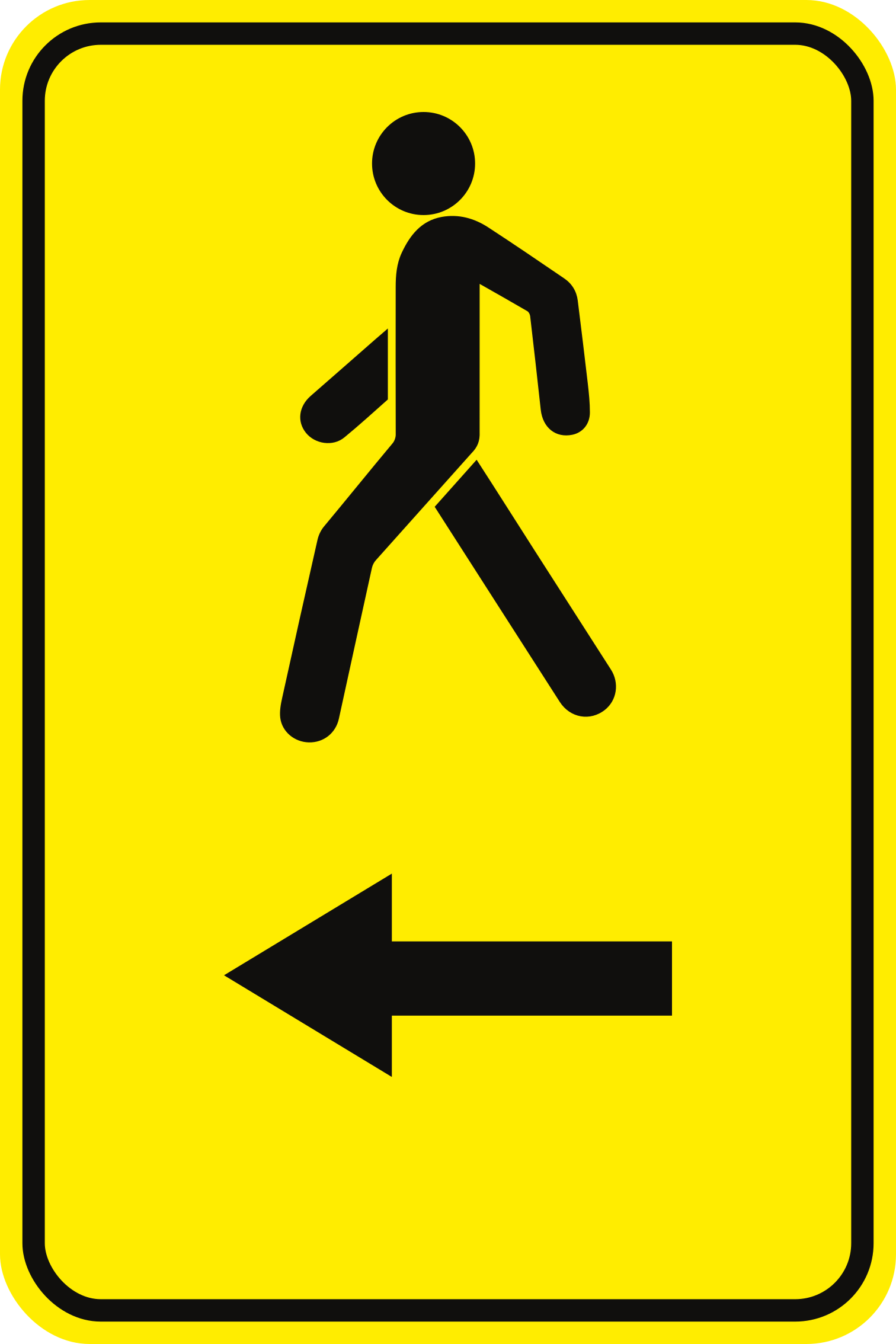
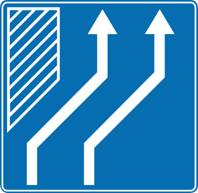
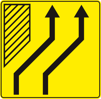
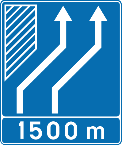




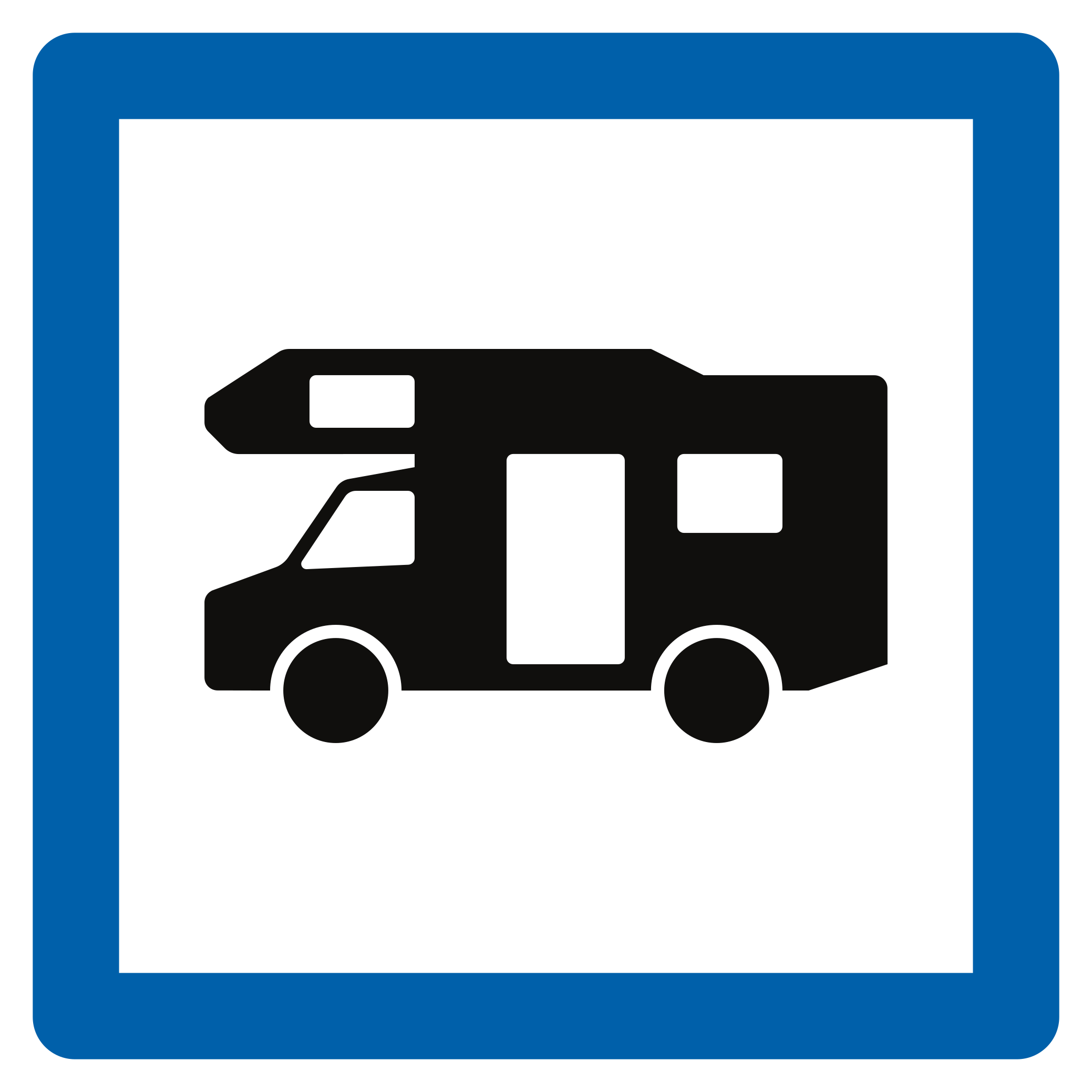

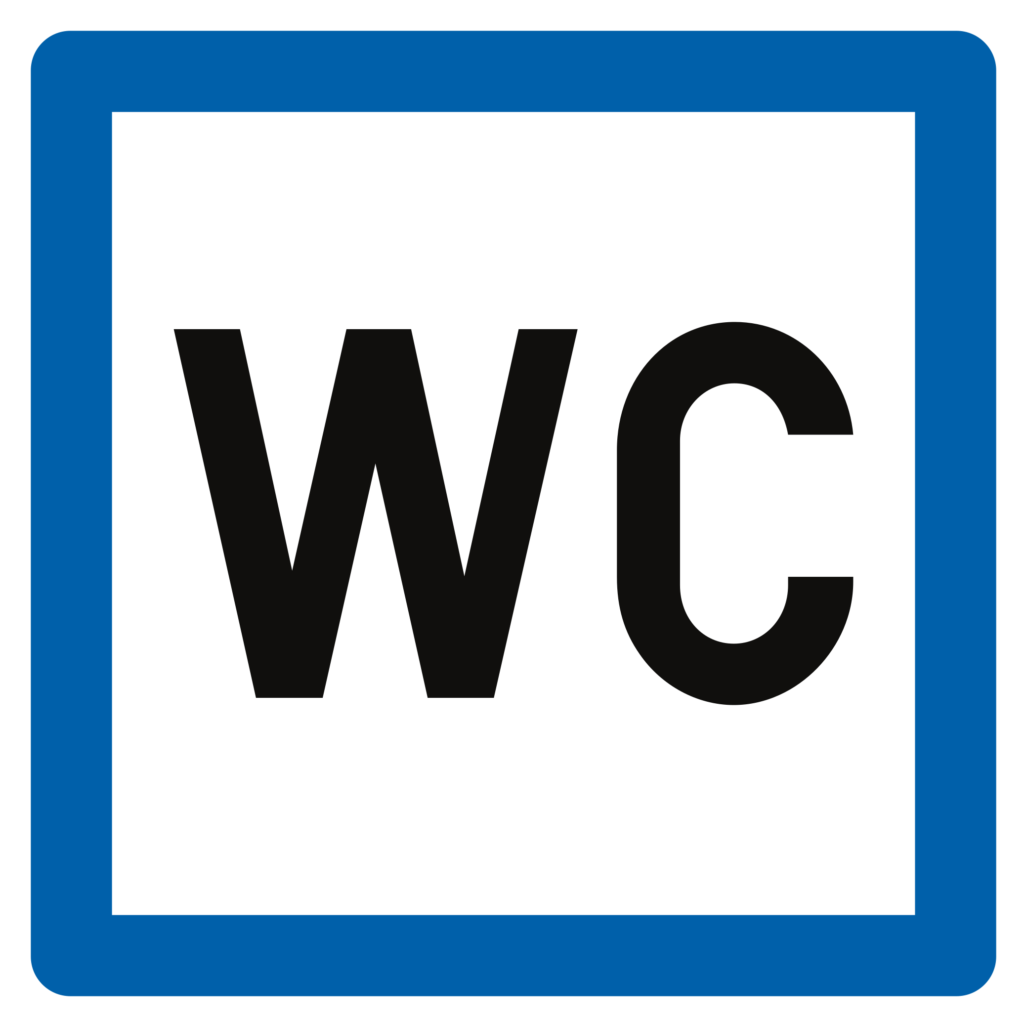












101. Direção para restaurante
Este sinal indica a direção parao restaurante indicado. Siga a seta para chegar até ele.
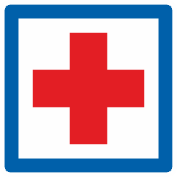
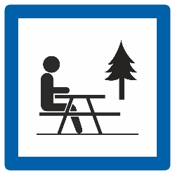
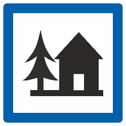
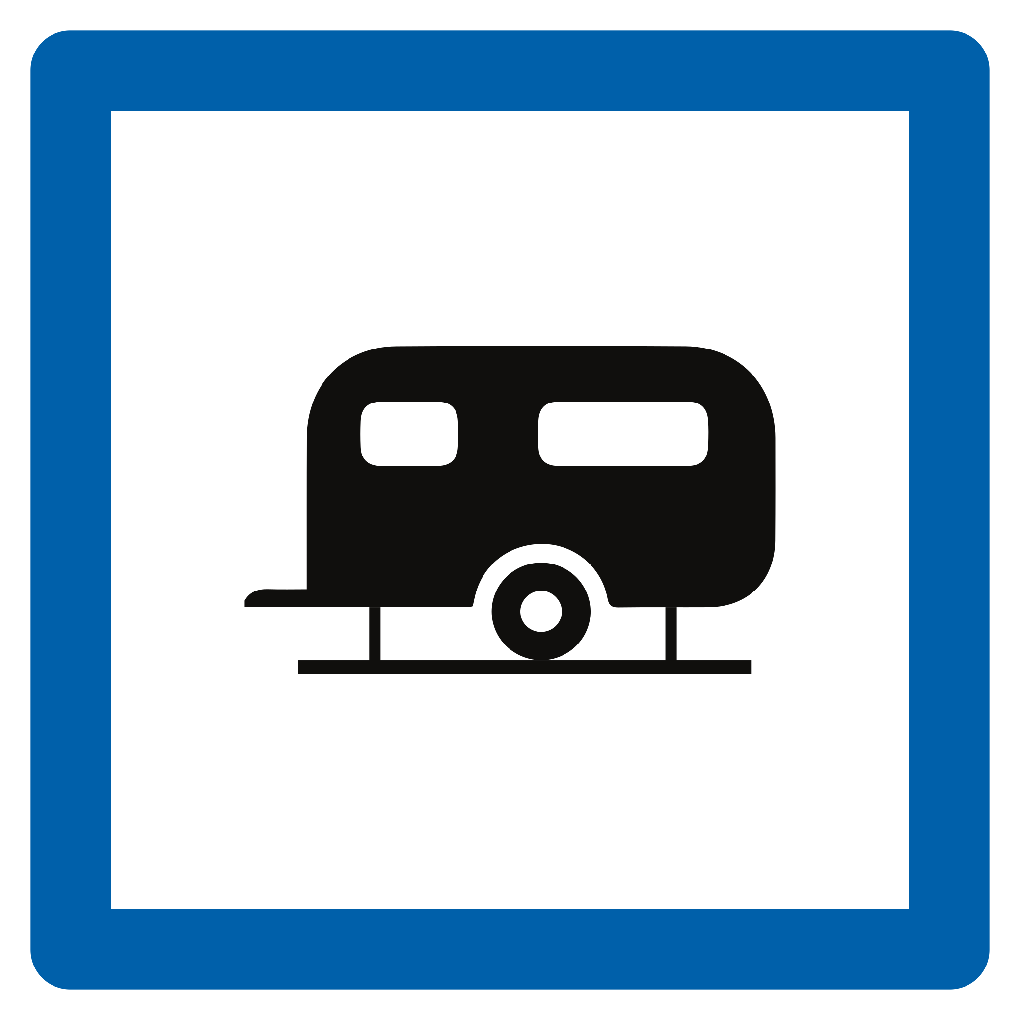
English • Traffic sign F37 • Direction sign: hotel or motel, restaurant, café, campsite, caravan site, motorhome site, youth hostel or picnic area. • From 1 June 2027.
Français • Signal routier F37 • Signal de direction : hôtel ou motel, restaurant, cafétéria, terrain de camping, terrain de caravaning, terrain pour autocaravane, auberge de jeunesse, emplacement pour pique-nique. • Dès le 1er juin 2027.
Nederlands • Verkeersbord F37 • Wegwijzer: hotel of motel, restaurant, drankgelegenheid, kampeerterrein, kampeeraanhangwagenterrein, kampeerwagenterrein, jeugdherberg, picknickplaats. • Vanaf 1 juni 2027.
Fontes
Image source: Wegcode.be • Verkeersborden (NL)
🔗 Codedelaroute.be • Signaux routiers (FR)
🔗 Wegcode.be • Sign overview
🔗 Wegcode.be • Original files. Original PNG unmodified.
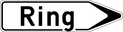
102. Direção para a via de circunvalação
Este sinal indica a direção para uma via de circunvalação que desvía o trânsito em torno de uma cidade ou localidade. Siga a seta para entrar no fluxo de trânsito.
English • Traffic sign F33a • Direction sign from a distance: airport, trade-fair hall or exhibition centre, port, car ferry, business park or hospital. • From 1 June 2027.
Français • Signal routier F33a • Signal de direction à distance : aéroport, hall de foire ou centre d’exposition, port, car-ferry, parc d’activités économiques, hôpital. • Dès le 1er juin 2027.
Nederlands • Verkeersbord F33a • Wegwijzer op afstand: luchthaven, beurs- of tentoonstellingshal, haven, car-ferry, zone met economische activiteiten, ziekenhuis. • Vanaf 1 juni 2027.
Fontes
Image source: Wegcode.be • Verkeersborden (NL)
🔗 Codedelaroute.be • Signaux routiers (FR)
🔗 Wegcode.be • Sign overview
🔗 Wegcode.be • Original files. Original PNG unmodified.
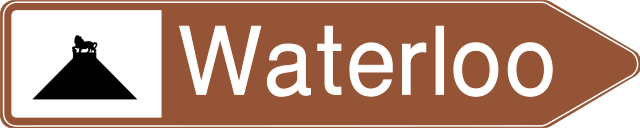
103. Direção para rio turístico
Este sinal indica a direção parao rio indicado ou outra atração turística associada. Siga a seta para chegar ao destino.
English • Traffic sign F33b • Direction sign from a distance: tourist valley or watercourse. The distance in kilometres may be shown on the sign. • From 1 June 2027.
Français • Signal routier F33b • Signal de direction à distance : vallée ou cours d’eau touristique. La distance en kilomètres peut être indiquée sur le signal. • Dès le 1er juin 2027.
Nederlands • Verkeersbord F33b • Wegwijzer op afstand: vallei of waterloop van toeristische aard. De afstand in kilometer kan op de wegwijzer aangeduid zijn. • Vanaf 1 juni 2027.
Fontes
Image source: Wegcode.be • Verkeersborden (NL)
🔗 Codedelaroute.be • Signaux routiers (FR)
🔗 Wegcode.be • Sign overview
🔗 Wegcode.be • Original files. Original PNG unmodified.
104. Rio
Este sinal indica o rio ou outro curso de água que se está atravessando. É um sinal informativo e não impone uma norma de trânsito.
English • Traffic sign F44 • Watercourse. • From 1 June 2027.
Français • Signal routier F44 • Cours d’eau. • Dès le 1er juin 2027.
Nederlands • Verkeersbord F44 • Waterloop. • Vanaf 1 juni 2027.
Fontes
Image source: Wegcode.be • Verkeersborden (NL)
🔗 Codedelaroute.be • Signaux routiers (FR)
🔗 Wegcode.be • Sign overview
🔗 Wegcode.be • Original files. Original PNG unmodified.
105. Direção para estação ferroviária
Este sinal indica a direção para uma estação ferroviária próxima. Siga a seta para chegar à estação que serve a localidade indicada.
English • Traffic sign F34a • Direction sign near public facilities and establishments or those serving the public interest, such as a railway station, hospital, town hall or municipal offices, or post office. • From 1 June 2027.
Français • Signal routier F34a • Signal de direction à proximité d’équipements et établissements publics ou d’intérêt général, par exemple une gare de chemin de fer, un hôpital, un hôtel de ville ou maison communale, un bureau de poste. • Dès le 1er juin 2027.
Nederlands • Verkeersbord F34a • Wegwijzer in de nabijheid van inrichtingen en etablissementen die openbaar zijn of van algemeen belang, bijvoorbeeld een treinstation, een ziekenhuis, een stadhuis of gemeentehuis, een postkantoor. • Vanaf 1 juni 2027.
Fontes
Image source: Wegcode.be • Verkeersborden (NL)
🔗 Codedelaroute.be • Signaux routiers (FR)
🔗 Wegcode.be • Sign overview
🔗 Wegcode.be • Original files. Original PNG unmodified.
106. Direção para local turístico
Este sinal indica a direção para a atração turística ou local de interesse indicado. O símbolo pode identificar o tipo de atração ou um ponto de referência conhecido.
English • Traffic sign F33c • Direction sign from a distance: sports centre, stadium or indoor sports hall, historic monument, ruins, monastery or abbey, cultural park, leisure park or amusement park, notable monument or site, nature park, tourist information point or viewpoint. • From 1 June 2027.
Français • Signal routier F33c • Signal de direction à distance : centre sportif ou stade ou hall omnisport, monument historique, ruines, monastère ou abbaye, parc culturel ou parc de loisirs ou parc d’attractions, monument ou site remarquable, parc naturel, point d’information touristique, point de vue. • Dès le 1er juin 2027.
Nederlands • Verkeersbord F33c • Wegwijzer op afstand: sportcentrum of stadium of omnisporthal, historisch monument, ruïnes, klooster of abdij, cultureel park of recreatie- of pretpark, monument of merkwaardig landschap, natuurpark, trefpunt voor toeristische informatie, uitkijkpunt. • Vanaf 1 juni 2027.
Fontes
Image source: Wegcode.be • Verkeersborden (NL)
🔗 Codedelaroute.be • Signaux routiers (FR)
🔗 Wegcode.be • Sign overview
🔗 Wegcode.be • Original files. Original PNG unmodified.
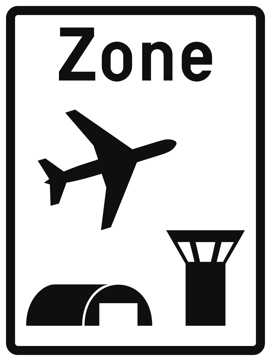
107. Início de zona aeroportuária
Este sinal indica o início de uma zona aeroportuária. Dentro podem aplicar-se normas especiais ou condições de acesso. Siga os sinais aplicáveis e as instruções do pessoal autorizado.
English • Traffic sign R21 • Beginning of an airport zone. The applicable maximum speed may be displayed for information at the bottom right. • From 1 June 2027.
Français • Signal routier R21 • Début d’une zone aéroportuaire. La vitesse maximale qui s’y applique peut être indiquée à titre informatif sur le signal en bas à droite. • Dès le 1er juin 2027.
Nederlands • Verkeersbord R21 • Begin van een luchthavengebied. De maximale snelheid die er geldt, kan rechtsonder als aanwijzing op het verkeersbord aangeduid zijn. • Vanaf 1 juni 2027.
Fontes
Image source: Wegcode.be • Verkeersborden (NL)
🔗 Codedelaroute.be • Signaux routiers (FR)
🔗 Wegcode.be • Sign overview
🔗 Wegcode.be • Original files. Original PNG unmodified.
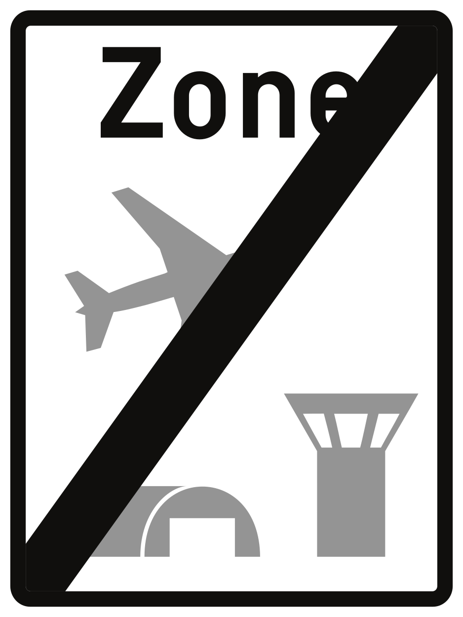
108. Fim de zona aeroportuária
Este sinal indica o fim da zona aeroportuária. As normas especiais associadas terminam neste ponto. Podem continuar a aplicar-se outras normas ou restrições indicadas por separado.
English • Traffic sign R23 • End of an airport zone. • From 1 June 2027.
Français • Signal routier R23 • Fin d’une zone aéroportuaire. • Dès le 1er juin 2027.
Nederlands • Verkeersbord R23 • Einde van een luchthavengebied. • Vanaf 1 juni 2027.
Fontes
Image source: Wegcode.be • Verkeersborden (NL)
🔗 Codedelaroute.be • Signaux routiers (FR)
🔗 Wegcode.be • Sign overview
🔗 Wegcode.be • Original files. Original PNG unmodified.
