


City limitJapan
An introduction to the traffic rules and road signs of Japan. Learn about driving, road safety and much more in our illustrated book, with answers to frequently asked questions.
For informational purposes only. Always follow official regulations. Some content and images were created with AI assistance.
 Traffic rules
 Japan
Japan
60. City limit
A city limit is a boundary or roadside indication showing that a driver is entering or leaving a named city, town, village, locality or municipality. It is commonly marked by a place-name or boundary sign.
The meaning of these signs varies between countries. A city-limit or locality sign may identify an administrative boundary, a named settlement or a traffic-related boundary. It does not necessarily mark the beginning or end of a legally defined built-up area, and passing the sign does not always change the applicable speed limit or other traffic rules.
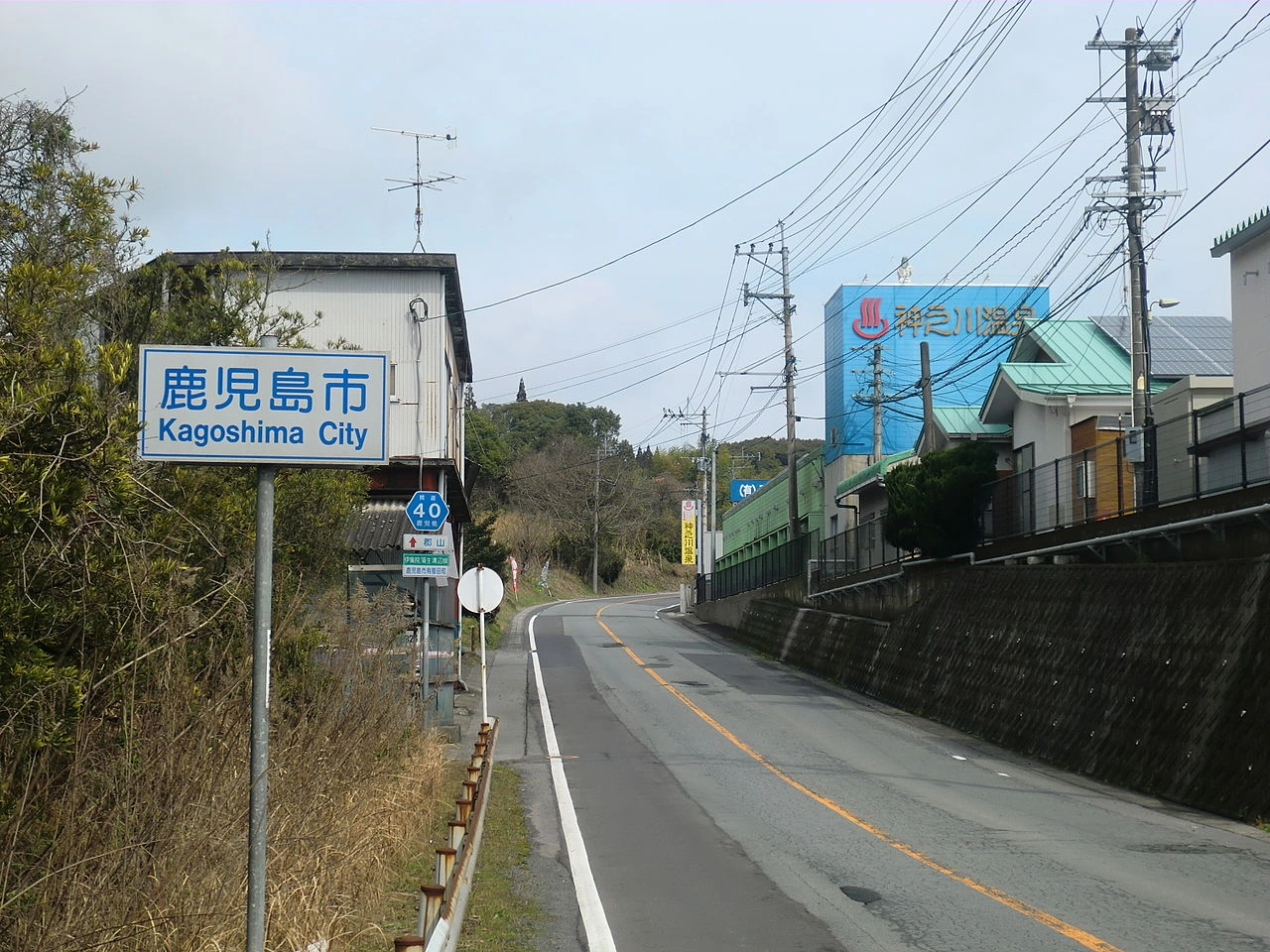
Wikimedia.org • Hyolee2 • CC BY-SA
What is a city limit?
A city limit marks the boundary of a city, town, village, locality or municipality. On roads, it is often indicated by a place-name or boundary sign.
Does a city-limit sign always mark a built-up area?
No. A city-limit or locality sign may simply identify a place or administrative boundary. A legally defined built-up area can use a different sign or definition.
Does passing a city-limit sign always change the speed limit?
No. In some countries a locality or boundary sign has consequences for traffic rules, while in others it mainly identifies the place. Drivers must follow the traffic signs and rules that apply in that country.
Is a city limit the same as a municipal boundary?
Not always. Some signs indicate an administrative municipal boundary, while others identify a city, town, village or locality without exactly following the municipality's legal boundary.
What is the difference between a city limit and a built-up area?
A city limit identifies the boundary of a named place or administrative area. A built-up area is a traffic-law concept that may affect rules such as default speed limits. The two boundaries can coincide, but they do not have to.


