


Cycle highwayGermany
 Traffic rules
 Germany
91. Cycle highway
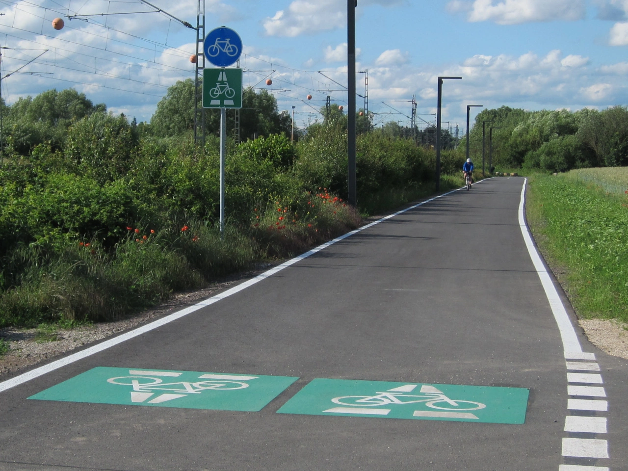
A cycle highway is a high-quality, continuous cycling route designed to provide fast, direct and comfortable travel over longer distances. Cycle highways commonly connect cities, residential areas, workplaces, schools, public transport hubs and other important destinations.
A cycle highway may consist of separate cycle paths, shared paths, quiet roads, bridges, tunnels or other cycling infrastructure. It is therefore not necessarily one continuous type of road. Access rules, priority, speed limits and permitted road users depend on the individual sections and on the local traffic signs and regulations.
Wikimedia.org • CC0
What is a cycle highway?
A cycle highway is a continuous cycling route designed to make longer bicycle journeys fast, direct, safe and comfortable. It commonly connects towns, cities and important destinations.
Is a cycle highway the same as a cycle path?
No. A cycle path is a particular part of a road or a separate path intended for cyclists. A cycle highway is an entire route and may contain several different types of cycling infrastructure.
Does a cycle highway always have a separate cycle path?
No. Although high-quality separated infrastructure is common, a cycle highway may also use quiet streets, shared roads, greenways, bridges, tunnels and other suitable connections.
Do cyclists automatically have priority on a cycle highway?
No. The designation of a route as a cycle highway does not by itself give cyclists priority at every intersection or crossing. Priority is determined by the applicable traffic signs, markings and local traffic rules.
Are motor vehicles prohibited from cycle highways?
Not necessarily. Some sections may be completely separated from motor traffic, while others may follow roads that are also open to cars or other vehicles. Access depends on the rules applying to each section.
Can pedestrians use a cycle highway?
This depends on the infrastructure. Some sections may be shared with pedestrians, while others may be reserved for cyclists or particular categories of road users. Follow the signs at the location.
Can electric bicycles use a cycle highway?
Ordinary electrically assisted bicycles can generally use routes available to bicycles. Different rules may apply to high-speed electric bicycles or speed pedelecs, depending on their legal classification and the signs applying to each section.
Is there a special speed limit on a cycle highway?
There is no universal cycle-highway speed limit. Speed rules depend on the country, type of infrastructure, vehicle category and locally displayed restrictions.
Can a cycle highway have intersections?
Yes. Cycle highways may cross roads, railway lines and other routes. High-quality networks often use bridges, tunnels or carefully designed crossings to reduce delays and conflicts, but intersections may still occur.
How can you recognise a cycle highway?
Cycle highways may be identified by route numbers, logos, destination signs or distinctive wayfinding markings. The appearance and legal significance of this signage vary between countries and regions.


